|
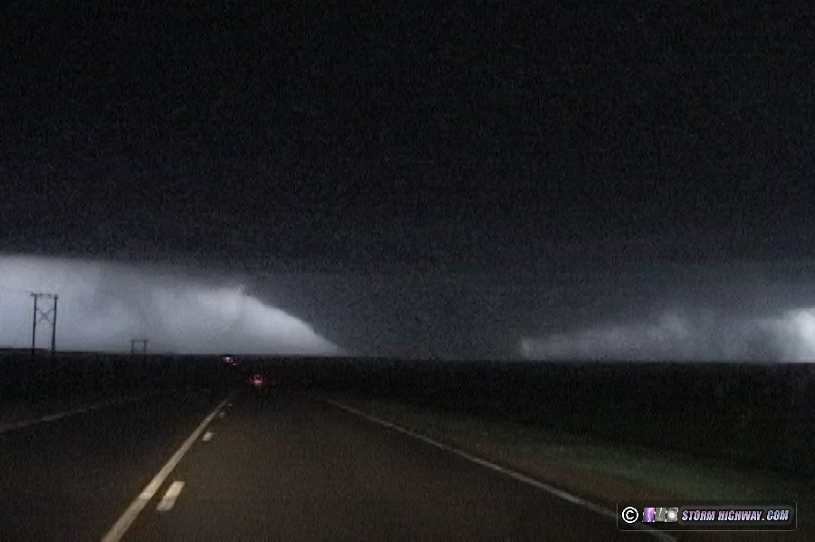
ABOVE: The Greensburg, Kansas tornado and satellite tornadoes illuminated by lightning.
| OFFICIAL NOTICE to all Greensburg tornado documentary producers and video reposters: PLEASE READ. |
EXPEDITION VIDEO: Greensburg, Kansas tornadoes and damage: Watch Video
Click any thumbnail on this page to view a larger version.
|
My work is, at this very moment you are reading this, generating the most income it ever has in my career. Yet, I was forced to shut down the professional side of my successul operation, against my will, due to one cause alone: 95% of that revenue is being stolen by piracy and copyright infringement. I've lost more than $1 million to copyright infringement in the last 15 years, and it's finally brought an end to my professional storm chasing operation. Do not be misled by the lies of infringers, anti-copyright activists and organized piracy cartels. This page is a detailed, evidenced account of my battle I had to undertake to just barely stay in business, and eventually could not overcome. It's a problem faced by all of my colleagues and most other creators in the field. |
GREENSBURG, KS - A large, violent tornado devastated parts of southwest Kansas on Friday, May 4, 2007. The tornado was rated EF5 on the (enhanced) Fujita scale, the first F5 rating in almost exactly 8 years. Literally the entire town of Greensburg, Kansas was obliterated by the massive tornado, which struck after dark on Friday evening. While I feel priveleged to have witnessed an F5 - the strongest of tornadoes and a rarity in storm chasing (and in tornado history for that matter), it is hard for me to call this chase a success. The tragedy of the lives lost and property destroyed puts a damper on this event for me, and precludes any celebration of the intercept. The following is a account of the day's chase.
I began the day in Pratt, Kansas with Fabian Guerra and Craig Maire. We lingered around the Dodge City area before moving east as the dryline began to mix eastward. I was watching two areas of interest - an area of surface convergence and cumulus west of Wichita, and the area south of the dryline bulge in northwestern Oklahoma. As the afternoon wore on, no signs of immediate storm formation were evident. Finally the cumulus near Wichita began bubbling up, so we started heading in that direction - passing through the town of Greensburg on the way. I was keeping a cautious eye on our secondary area to the southwest.
The development near Wichita soon lost its promise, and about the same time we noted strong cumulus formation in the northeast Texas panhandle. A small blip showed up on radar near Canadian, TX, and I knew it was going to put on a show. It quickly grew into a massive supercell with confirmed tornadoes. We immediately began the long trek to intercept. At some point, I got separated from Fabian and Craig and was solo the rest of the way.
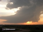
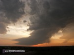
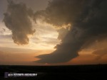
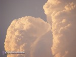
The tornadic storm soon split and sent a cluster of weak cells northward. I ignored these at first, focusing on getting to the main southern cell. I caught up to the storm at Mooreland, Oklahoma just before sunset, where it took on an LP structure. By this time, the storm was long done producing tornadoes, but the combination of sunset and clear skies surrounding it made for an impressive sight.
At this time, I noticed the cells to the north were intensifying as the Mooreland/Woodward storm weakened. Even though it was now getting dark, I shifted my focus to this development and began heading north out of Mooreland.
As I closed the gap on the storm, it was growing into one of the largest supercells I'd ever seen on my WxWorx radar display. I had a good visual on it the entire way north, and it filled the sky in front of me with constant lightning. As I got closer, well-defined supercell structure was evident - a bell-shaped updraft, tapered tail cloud and inflow bands. Rotation markers on WxWorx began appearing and strengthening.
I was about 15 miles south of the storm, passing through Coldwater on Highway 183, when Fabian called. He and Craig had arrived on the storm a few minutes before me, and were already watching a large wedge tornado in progress. Before that point I was not sure what I was going to find once the storm's base came into view, though I was nearly certain a tornado was in progress based on the storm's radar presentation. I was not surprised to hear about a wedge, as WxWorx showed 161mph shear markers on the storm - the highest I'd seen on the data display yet.
Minutes later as I drove north on 183, the tornado became visible - and I could hardly believe what I was seeing.
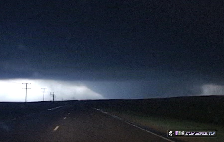
This was not just a wedge tornado - it was an absolutely huge wedge. All I could think about was Greensburg up ahead and how similar the situation was to Hallam, Nebraska on May 22, 2004 - a massive tornado heading straight for a town.
I kept driving toward the tornado as lightning kept it in sight. |

