|
Home | Blog Index | Blog Archives | Christianity & Faith Essays | Storm Chasing Essays
WV Potomac Highlands chase
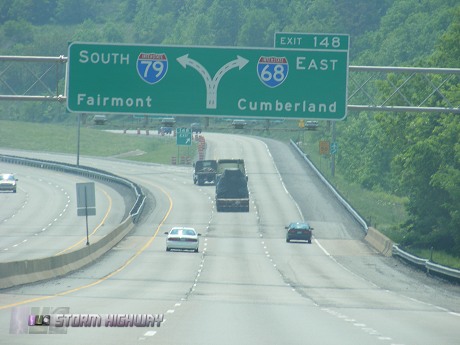
With instability and some flow (albeit weak) over the West Virginia mountains, marginal thunderstorms were expected down the spine of the Appalachians on Thursday. I decided to make the trip home from Washington, PA into a combination of storm chasing and a road trip through the northern mountains of WV.
The WRF model was suggesting that storms would fire by mid-afternoon along the higher elevations somewhere between I-68 and the Webster Springs-Cass-Green Bank area. So, I took I-68 east then Route 119 south at Morgantown, then off onto country roads into the middle of nowhere.
Not long after exiting the interstate, the first signs of convection started showing up in the form of 'turkey towers', another name for skinny cumulus congestus clouds.
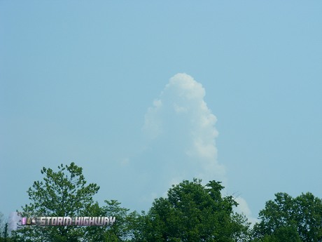
'Turkey tower' near Morgantown
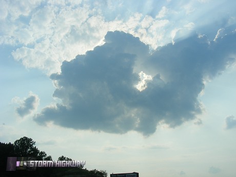
I was doing the unusual (and normally not recommended) thing of basing my chase today solely on the WRF model, which had the most fun-looking forecast if it verified - lots of slow-moving thunderstorms in the mountains south of I-68. Around 2PM, the congestus in the sky was punching through pileus caps (thin layers of moisture that condense into shower-cap like formations as the cloud rises through it), but otherwise looked like it would be a while before storms would fire.
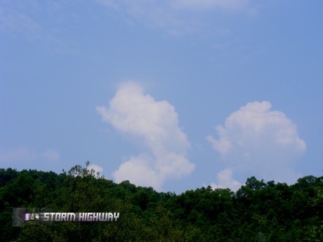
Weak tower just after pileus punch-through
Since it looked like I had some time, I explored the CSX mainline between Newburg and Tunnelton for a couple of hours.
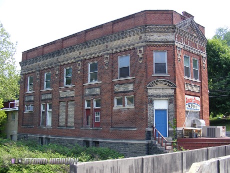
Old building in Newburg
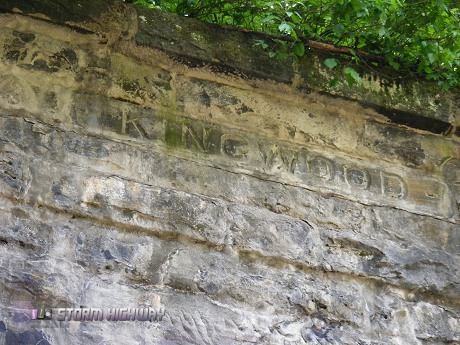
Tunnelton is named because it is the site of Kingwood Tunnel on the CSX mainline.
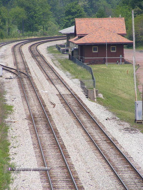
Train station at Kingwood
The tunnel itself is double-tracked and looks at least 3/4 mile long.
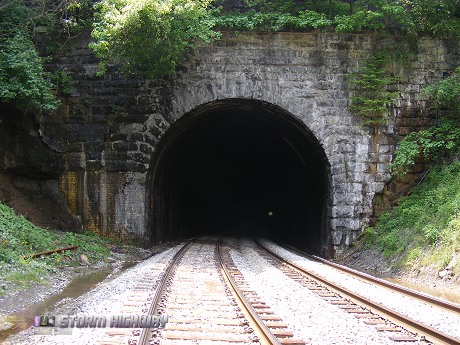
Kingwood Tunnel
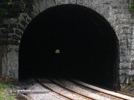
Like many mainline railroad tunnel sites in Appalachia, the current double-track tunnel is a larger replacement for an older, smaller single-track tunnel at the same site. New tunnels were often needed in the mid-1900s due to increased cargo capacity and more frequent rail traffic. The old, abandoned Kingwood Tunnel is visible in the weeds just above and to the north of the new tunnel. The old tunnel and trackage passed through the mountain about 30 feet higher in elevation than the newer one, on a much steeper grade. The new tunnel makes for an easier climb for eastbound trains climing the grade toward Terra Alta.
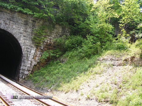
New and old Kingwood tunnels
I figured that eastbound trains coming through the tunnel at the east end would be quite a sight. An eastbound would be struggling through the tunnel up the steep grade toward the summit, with the locomotives moving slowly but at full power. This would likely create a dense cloud of exhaust smoke inside the tunnel as the train moved through, which would eventually start flowing out of the east portal. The finale then being the front locomotives blasting dramatically out of the tunnel in a cloud of thick smoke and thundering engines at full power. Then, the process would be repeated if there were sets of helper locomotives in the middle and at the end of the train. I waited for about an hour at the tunnel for a train to do this, but didn't get one. At least the tunnel will be there for another day.
When I got back to the car, WxWorx showed some convection had started popping on the ridges just east of where I was. So, it was back on the road. It is probably a good idea to chase solo in mountainous territory - the winding roads here will terrorize those even the most immune to motion sickness.
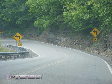
Route 50 near Rowlesburg
I was glad I was driving and not riding here.
Dramamine anyone?
The storm I was after drifted east slightly, and so I ended up in Maryland for a few minutes.
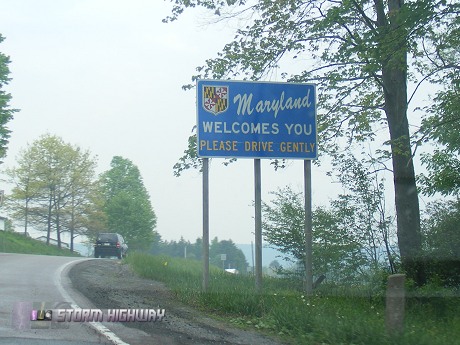
Near Redhouse, MD
The Maryland storm died as I approached - a pattern I'd see the rest of the day. With little vertical shear to work with, the storms would rain on their own updrafts and self-destruct after only 20 minutes or so. I decided to start heading toward home and hope for something to pop up along the way. Once back in West Virginia, I took my time driving south on 219.
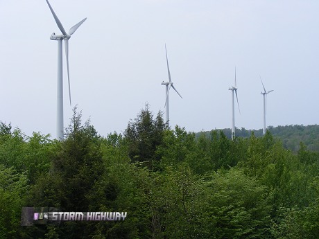
The Great Plains has something in common with the West Virginia mountains - wind turbine farms. This cluster of turbines is on a ridge just outside the town of Thomas in Tucker County.
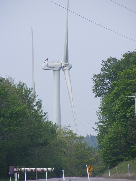
Thomas, WV wind farm

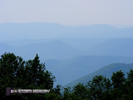
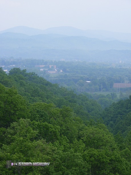
View from Thomas
The moisture in the air reduced the contrast of the mountain vistas, but it was still worth pulling over every once in a while to get a shot.
View from 219 near Benbush
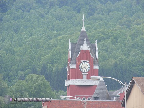
Downtown Parsons
A cool sight was encountering the end of the Corridor H highway project. The highway crosses a brand-new bridge near Kerens, then suddenly dead-ends into the side of a hill. Corridor H is a nice four-lane highway currently under construction through some of the most mountainous terrain in the state. If you've ever driven to Snowshoe, Canaan Valley or anywhere in this part of the state, you know how long it takes to get around due to the twisting roads, and this will definately help!
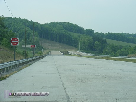
Current end of Corridor H
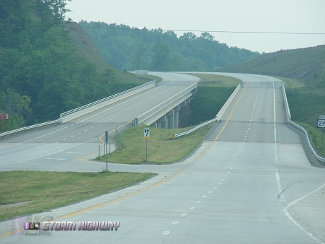
Corridor H
Corridor H near Elkins
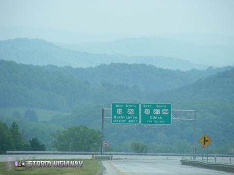
View from Corridor H near Elkins
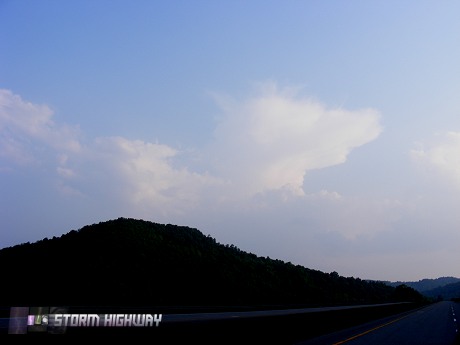
At Buckhannon, it was becoming obvious that the storm chase portion of today's trip was not going to work out. A storm went up south of Buckhannon and fired off a few quick lightning strikes, then fizzled like the others. At that point, I decided to call it a day and head back to I-79 for the trip home.
Backlit cumulus at Weston
South of Flatwoods, some congestus tried valiantly to become something greater, but didn't get far.
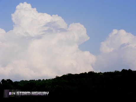
Near Sutton
A high anvil marked the location of the last real storm of the day that fired over Chelyan, just east of Charleston - while I was still 50 miles away. It too eventually succumbed to the same fate as the rest of the day's convection.
Weatherwise, I didn't expect much today. The WRF model was almost right, correct about the location of the storms but not their strength. Anyway, it was nice to get out and drive home through some of the most scenic country around.
GO: Home | Storm Chase Logs | Photography | Extreme Weather Library | Stock Footage | Blog
Featured Weather Library Article:
|


