
|
||||||||||||||||||||||||||||||||||||||
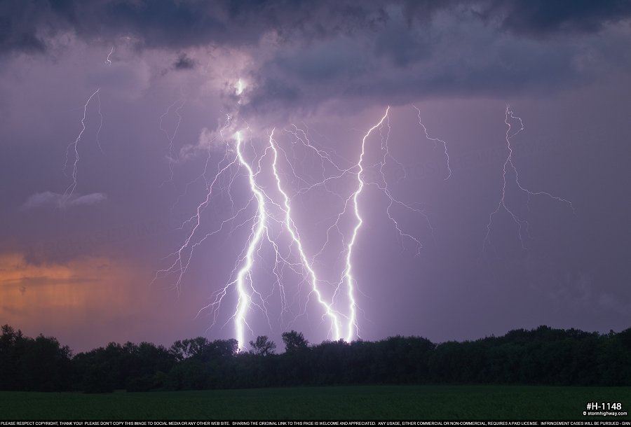
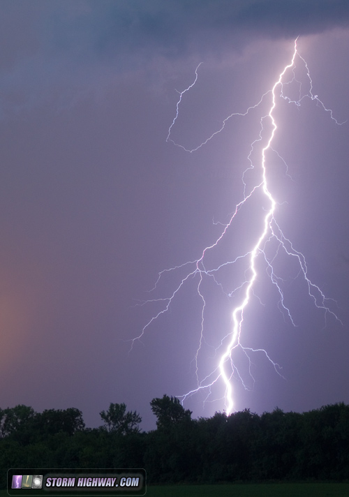
This weekend has been mainly full of working on video and photos from Great Plains storm chase expedition #3 (final chase reports coming soon). In the meantime, this storm north of St. Louis on Sunday the 10th produced enough for a blog post of its own. These were shot at sunset at Woodburn, Illinois, north of Alton:

 Finally, here are some logs from Spring 2018 that weren't notable enough for their own pages:
|
||||||||||||||||||||||||||||||||||||||


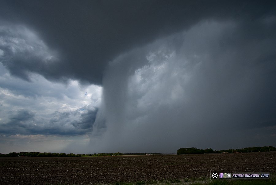

 May 18: Ellis Grove, IL weak supercells
A trip south to intercept a cell in a marginal supercell environment that ended up producing some decent structure. This was my first view of the storm down on the Mississippi floodplain at Ellis Grove, northwest of Chester:
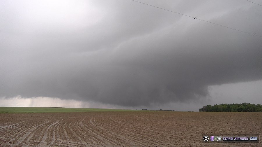
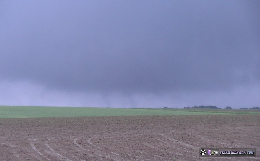
There were some convincing tornado look-alikes under that base, as scud fingers scraped the ground - but motion was nonexistent:
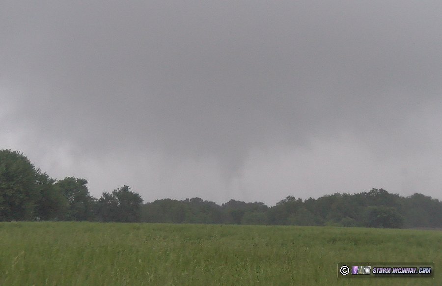
As the storm moved closer, RFD started carving out a circulation - but again, motion was weak:
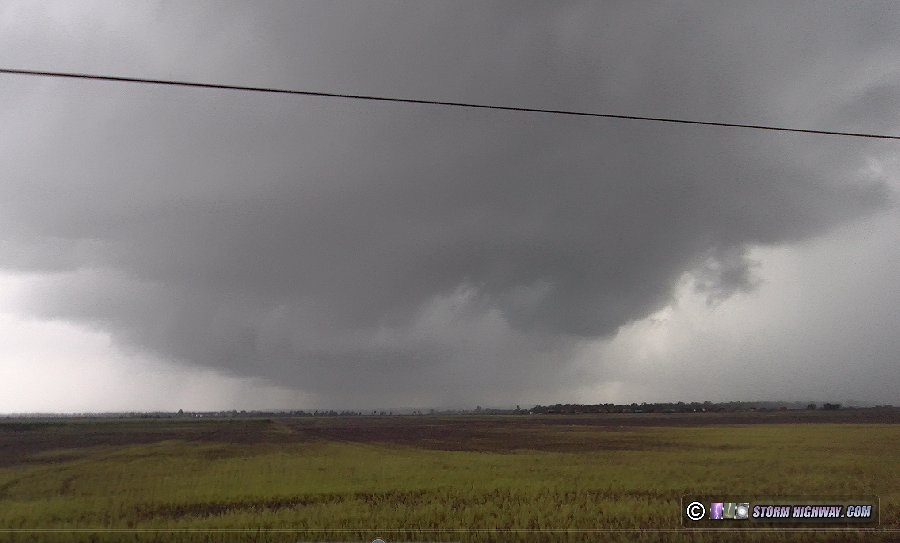
I had no good open views ahead of the storm, so had to move down to Chester and cross the river into Missouri to stay within visual of it. By the time I did that, the storm had gone completely outflow dominant.
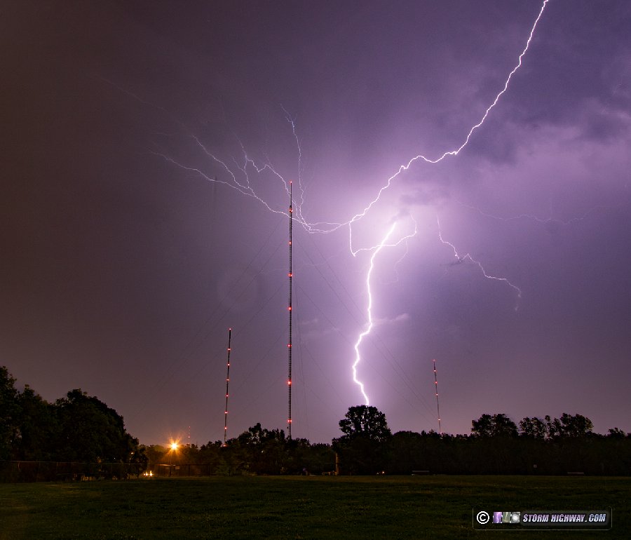
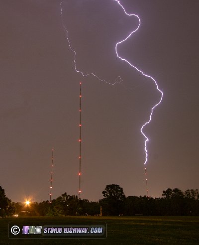
 May 21: St. Louis upward lightning
Another trip into the city for storms. While the main cores were unproductive, the trailing stratiform put on a decent show at the Shrewsbury towers, with one upward flash to one of the towers. I captured a few stills and videos:
Video:
 June 8: Jacksonville, IL blue sky bust
I decided to play the southern end of a conditional risk for severee storms along the I-72 corridor. No storms initiated in my target of Jacksonville/Springfield.
|
||||||||


GO: Home | Storm Chase Logs | Photography | Extreme Weather Library | Stock Footage | Blog


Featured Weather Library Article:
See how lightning really does strike the same place twice! |  |
| More Library Articles |
Web Site Design and Internet Marketing by CIS Internet