|
With the opening of the MetroBikeLink trail extension to MidAmerica Airport, cyclists can now start a Katy Trail ride from locations east of Silver Creek using the following route.
Disclaimer: this route involves 20.1 miles of riding on 2-lane or 4-lane highways that do not yet have parallel trails, primarily in Missouri between Alton, Illinois and Machens, MO. Some of these segments have bike lanes and shoulders wide enough for bikes, however, there are several segments with little or no shoulders (again, mostly on the Alton to Machens segments). You should travel on these with the appropriate caution and at your own risk.
Download GPX file of this route | View Route on Ride with GPS
Katy Trail multi-day trip using this route: The following is a four-day ride (40 to 50 miles per day) to Jefferson City, Missouri using this connector route:
Detailed Directions
Route Details (Food, Restrooms, Lodging, Bike Shops)
- Total Distance: 60.7 miles
- Maximum Grade: 3.3%
- Dedicated trails or low-traffic road segments: 40.6 miles total
- On-highway road segments: 20.1 miles total:
- Illinois Highway 4 near Mascoutah (0.9 miles)
- Rieder Road (0.6 miles)
- Highway 50 in O'Fallon (1.5 miles)
- Madison Avenue in Roxana and Hartford (3.3 miles)
- US Highway 67 on the Clark Bridge (1.1 miles)
- US Highway 67, Highway 94, Saale Road, Dwiggins Road, Ell Road at West Alton (12.7 miles)
- Lodging available near the route:
- Best Western Plus across Interstate 64 from MidAmerica Airport in Mascoutah, 0.1 miles from the route
- Super 8 Wyndham on Eastgate Drive in O'Fallon, 0.1 miles from the route
- Multiple hotels on Illinois Highway 157 in Edwardsville, 1.5 miles from the route via the MCT Nature Trail
- Tiffany Inn Bed & Breakfast and The Cracker Factory, 0.5 miles from the route in Alton
- AirBNB/Vrbo houses are sometimes available near the route in O'Fallon, Edwardsville and Alton.
- Bike shops along/near the route:
- Bike Surgeon on East State Street in downtown O'Fallon, right on the route
- The Cyclery in Edwardsville, right on the route
- Restaurants/groceries/food/restrooms along/near the route:
- Moto Mart convenience store in New Baden, 300 feet (1 block) from the route
- Good Old Days restaurant in New Baden, 400 feet (1 block) from the route
- Berkemann's Baker's Dozen bakery in New Baden, 400 feet (1 block) from the route
- Market Center IGA grocery store in New Baden, 0.5 miles from the route
- Subway in New Baden, 0.7 miles from the route
- Dominos Pizza at Highway 4 and Perrin Road in Mascoutah
- Pilot Truck Stop at Highway 4 and Perrin Road in Mascoutah, right on the route
- MidAmerica Airport passenger terminal, right on the route
- Moto Mart and Shell convenience stores on Scott Troy Road at Highway 50 in O'Fallon, right on the route
- Schnucks grocery store on Highway 50 in O'Fallon, right on the route
- Multiple restaurants on Highway 50 in O'Fallon
- Multiple restaurants in downtown O'Fallon
- Dierbergs grocery, Target and multiple restaurants on Troy Road in Edwardsville, 0.2-0.7 miles off of the route
- Numerous restaurants on Illinois Highway 157 in Edwardsville, 1.5 miles from the route via the MCT Nature Trail
- Multiple restaurants in Alton, 0.5-1.0 miles from the route
- Coffee shops along/near the route:
- The Red Porch Cafe in New Baden, right on the route
- Starbucks on Highway 50 in O'Fallon, 0.3 miles from the route
- Sweet Katie Bee's, right on the route on East 2nd Street in O'Fallon
- Dutch Brothers Coffee on Troy Road in O'Fallon, right on the route
- Starbucks on Illinois Highway 157 in Edwardsville, right on the route
- Germania Brew Haus in Alton, 0.1 miles from the route
- Post Commons in Alton, 0.8 miles from the route
- Public transportation:
- The St. Louis Metrolink light rail trains allow bicycles on board (but not trikes). The newest Metrolink station, located on this route at MidAmerica Airport, is opening sometime in the summer of 2026. Shiloh-Scott is the nearest operating station, located 2.9 miles from the route via the MetroBikeLink trail.
GO: Home | Storm Chase Logs | Photography | Extreme Weather Library | Stock Footage | Blog
Featured Weather Library Article:
|





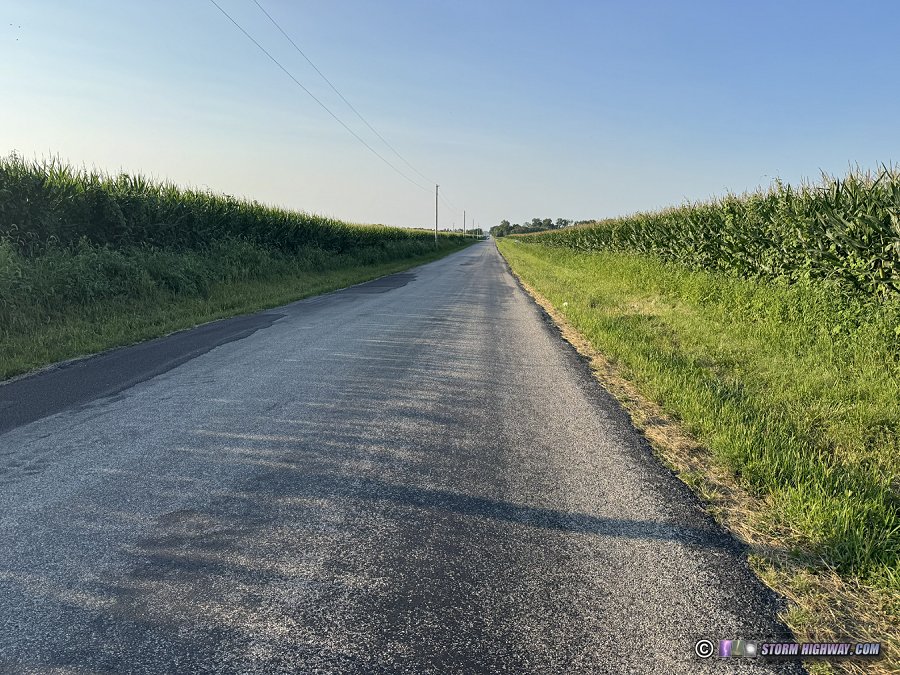
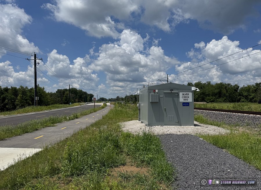
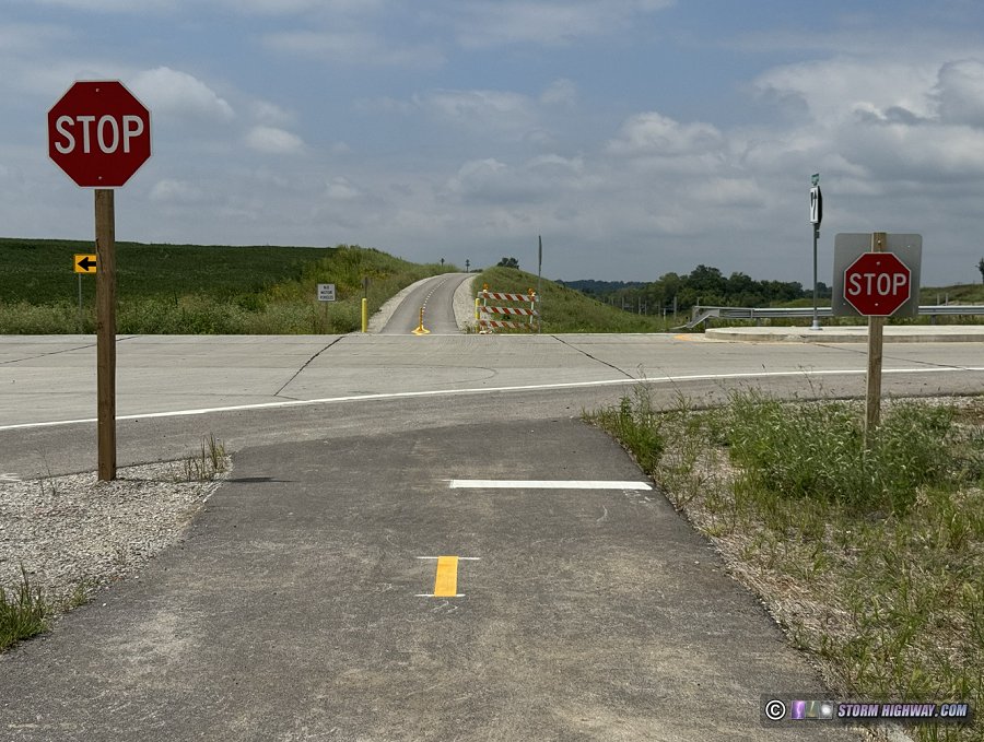 MetroBikeLink Trail intersection with Rieder Road.
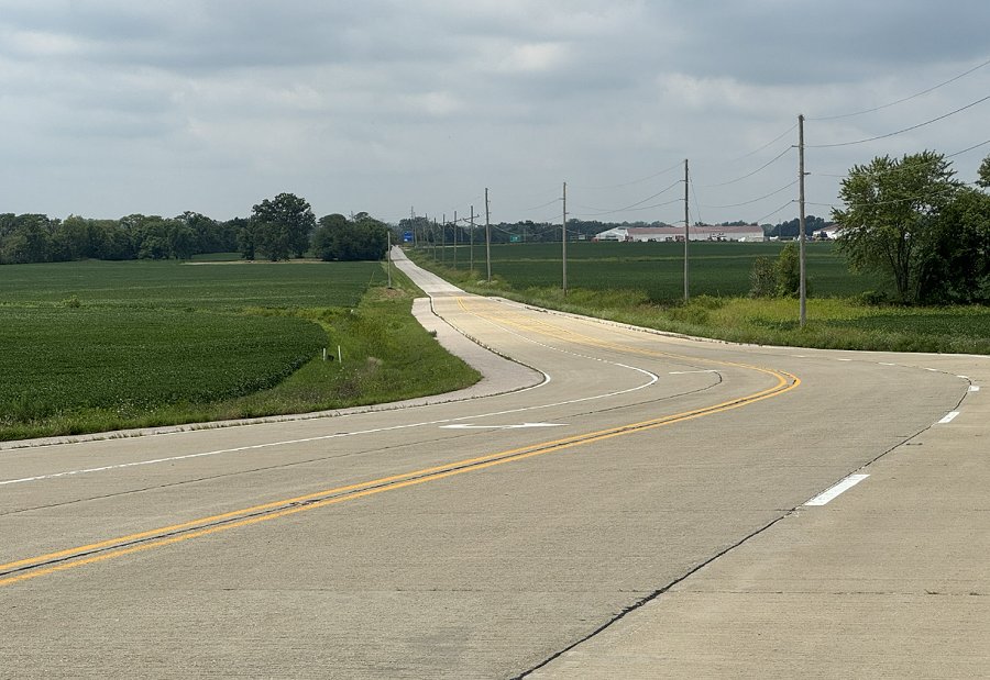 Shiloh Valley Township Line Road at Rieder Road
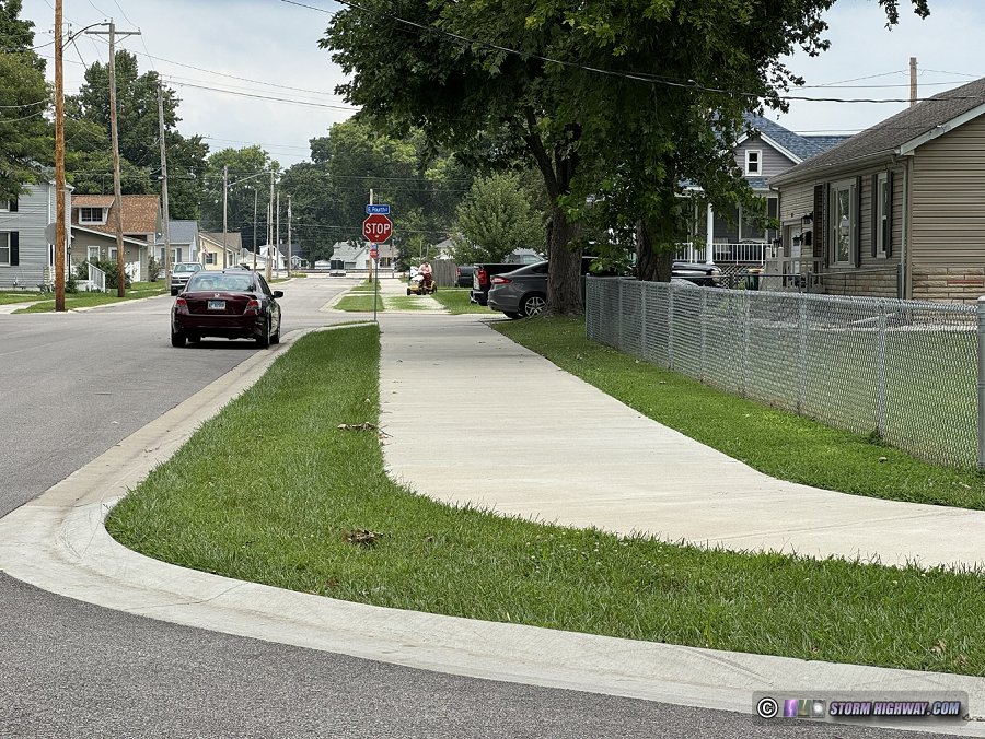 Apple Street Trail in O'Fallon
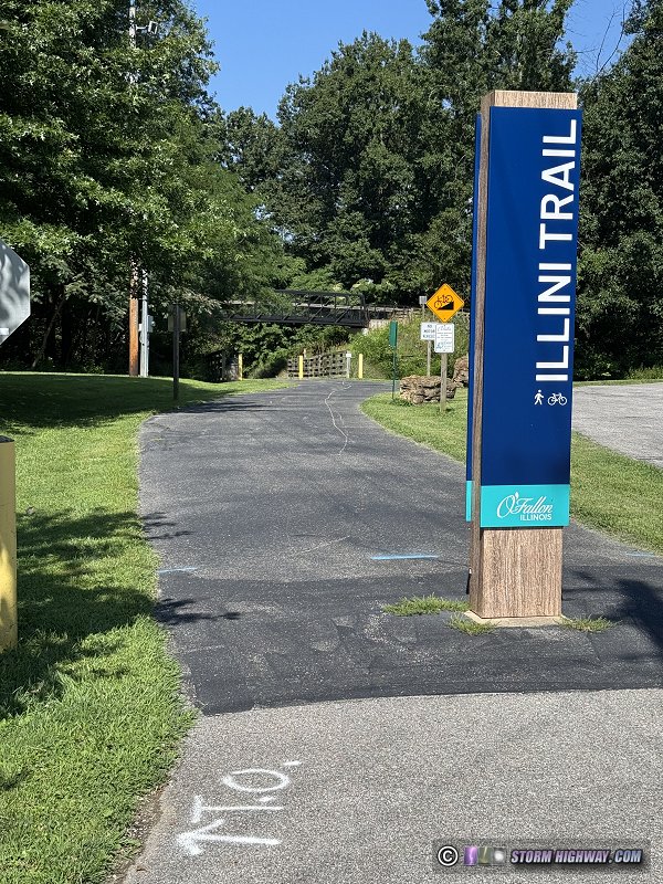 Illini Trail access spur at West Madison Street in O'Fallon. The main trail passes over the access spur on the bridge in the background. A ramp on the right connects the two trails.
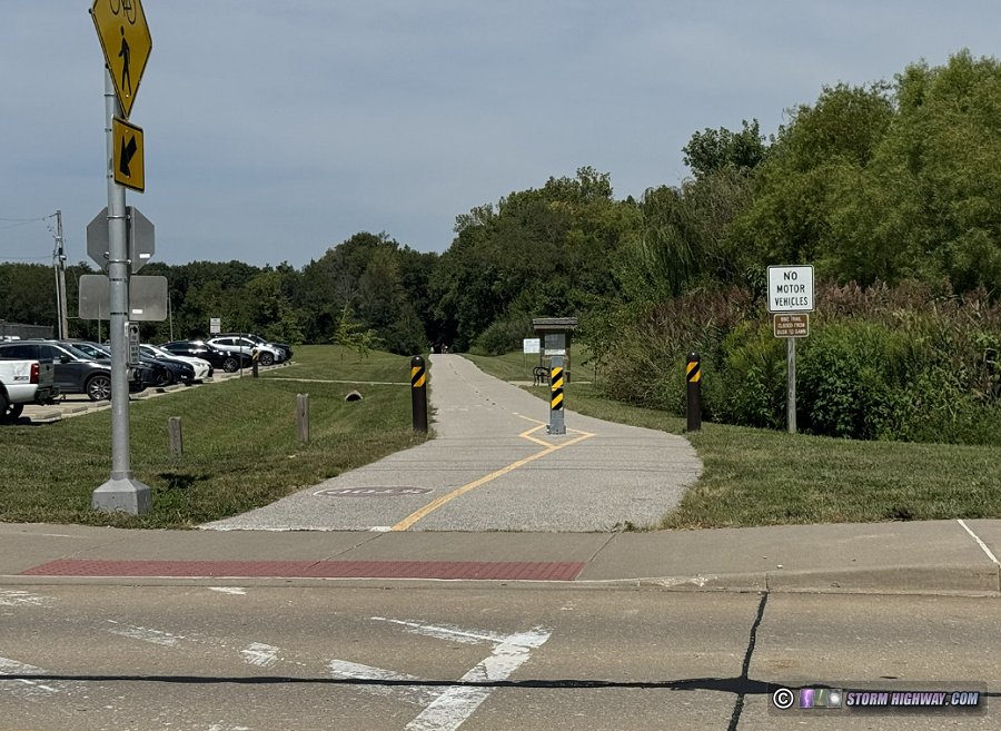 Goshen Trail access at Kyle Road in O'Fallon.
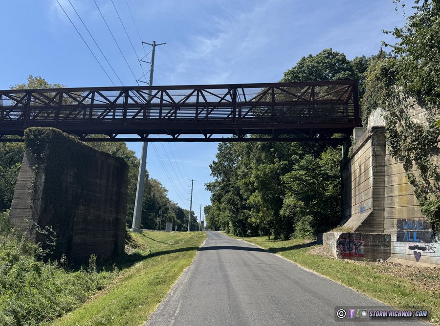 Goshen Trail bridge across Lockmann Road south of Troy.
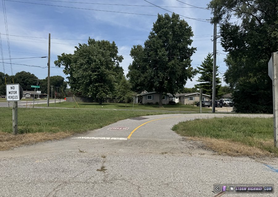 West end of the Watershed Trail in Roxana.
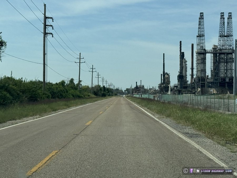 Madison Avenue between Roxana and Hartford.
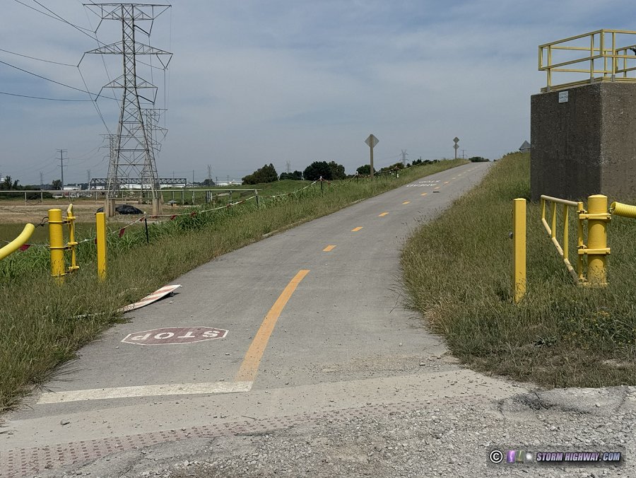 Confluence Trail access at Madison Avenue in Hartford.
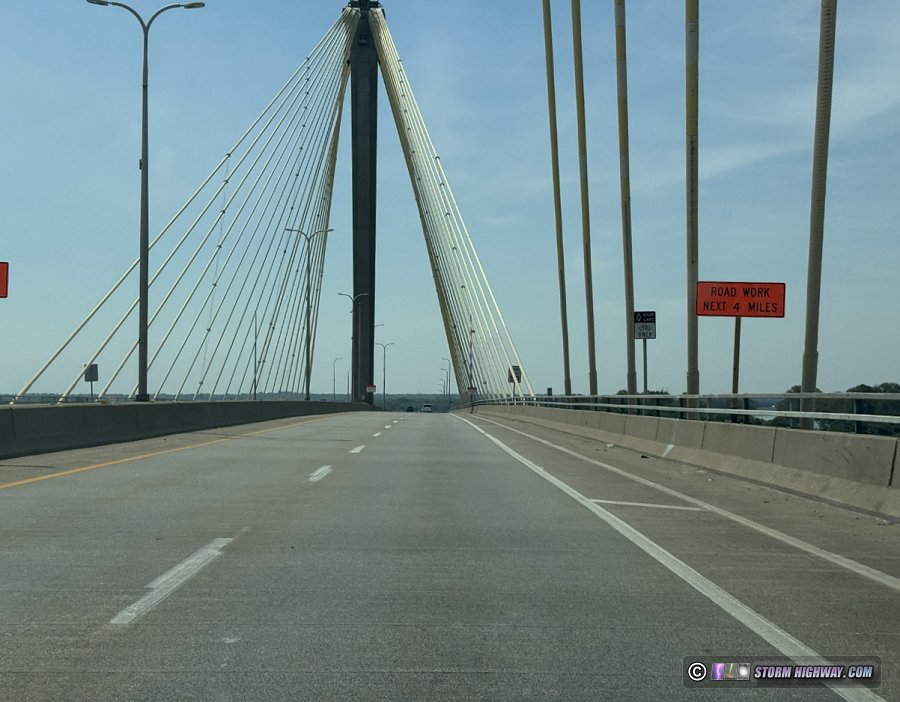 Bike lane on US 67 on the Clark Bridge in Alton.
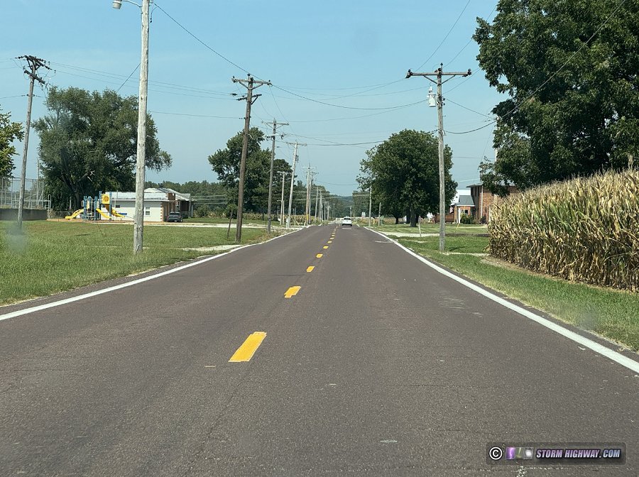 Highway 94 in West Alton.
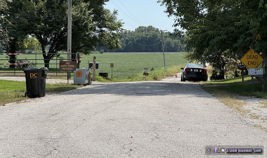 The closure of Machens Road blocks access to the eastern terminus of the Katy Trail.
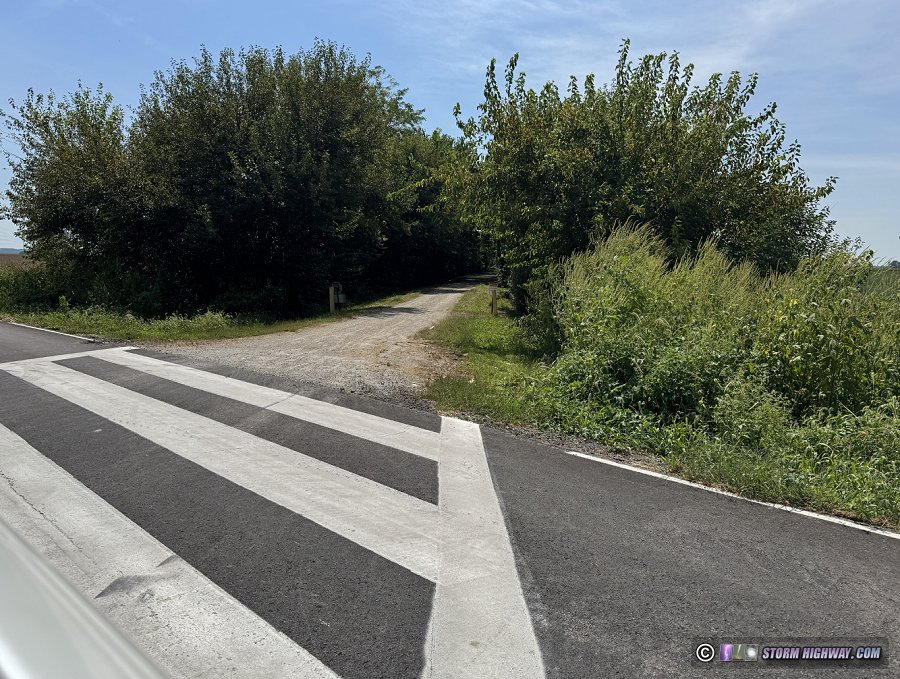 Katy Trail access on Ell Road west of Machens.