Day 15: June 7 - Supercell and tornado in South Dakota
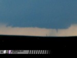
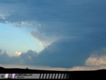
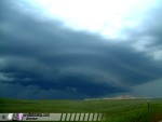
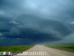
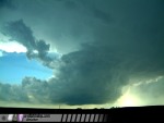
Tuesday, June 7: Kurt Hulst, Nick Grillo and I caught an incredible supercell in south-central South Dakota on Tuesday. Saw one tornado and spectacular lightning along with breathtaking storm structure. The storm started out LP about 25 miles southwest of Belvedere, SD, where it exhibited great structure and lightning. We stopped to film for about 20 minutes, then decided to reposition about 15 miles closer. During our reposition, the storm dropped a brief tornado which we had difficulty filming due to hills and rough pavement. We stuck with the storm the rest of the evening. As the meso crossed I-90, it spun up hard, producing one of the most ominous wall clouds I've ever seen. Motion was incredible, but the storm failed to produce another tornado. Behind the supercell, a strong squall line was quickly overtaking it, eventually absorbing it. We ended the day in Murdo, where we rode out the high winds as tornado sirens blared, then had a quick celebratory dinner with Scott Blair, Eric Nguyen and Amos Magliocco.
Updated! A full log of the day's events from June 7, including still frames and digital photos, has been given its own page posted at the following link:
June 7, 2005 South Dakota supercell and tornado
GO: Home | Storm Expeditions | Photography | Extreme Weather Library | Stock Footage | Blog
Featured Weather Library Article:
|