|
Home | Blog Index | Blog Archives | Christianity & Faith Essays | Storm Chasing Essays
November 2024 Storm Chasing Recap
|
My work is, at this very moment you are reading this, generating the most income it ever has in my career. Yet, I was forced to shut down the professional side of my successul operation, against my will, due to one cause alone: 95% of that revenue is being stolen by piracy and copyright infringement. I've lost more than $1 million to copyright infringement in the last 15 years, and it's finally brought an end to my professional storm chasing operation. Do not be misled by the lies of infringers, anti-copyright activists and organized piracy cartels. This page is a detailed, evidenced account of my battle I had to undertake to just barely stay in business, and eventually could not overcome. It's a problem faced by all of my colleagues and most other creators in the field. |
November was a quiet month for storms and weather in the lower Midwest, punctuated by a couple of heavy rain/thunderstorm events. The first snow of the season arrived on the last day of the month.
November 2024 Event List
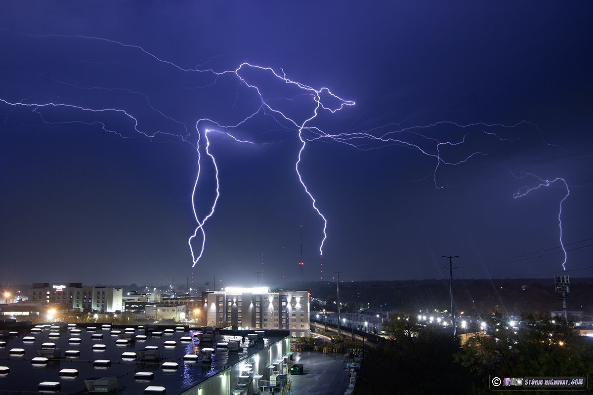
 November 4: St. Louis upward lightning November 4: St. Louis upward lightning
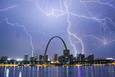
This was a long chase day going back and forth multiple times across the metro area from Dardenne Praire, to Fenton, to Chesterfield and downtown. I was mainly after lightning this night, but was also watching for rogue QLCS circulations that formed intermittently along the squall line. The closest I got to anything tornadic was when the Foristell tornado occurred while I was set up for lightning along 364 in Dardenne Prairie. I ended the night at the Brentwood parking garage shooting upward lightning in the stratiform region of the squall line. I captured four upward flashes, three at 6,002 fPS on the high speed camera. This is a 4-frame stack from the DSLR:

Video from the 4k and high speed cameras:
 November 5: New Baden, IL cold front convection at sunset November 5: New Baden, IL cold front convection at sunset
An on-foot chase across the road to shoot this convection along the cold front arriving at sunset:


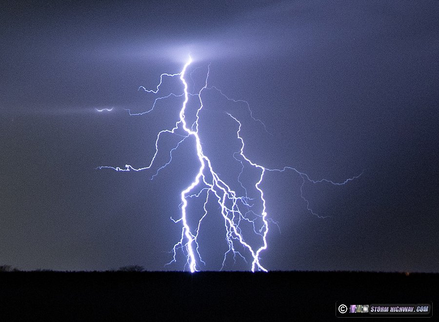
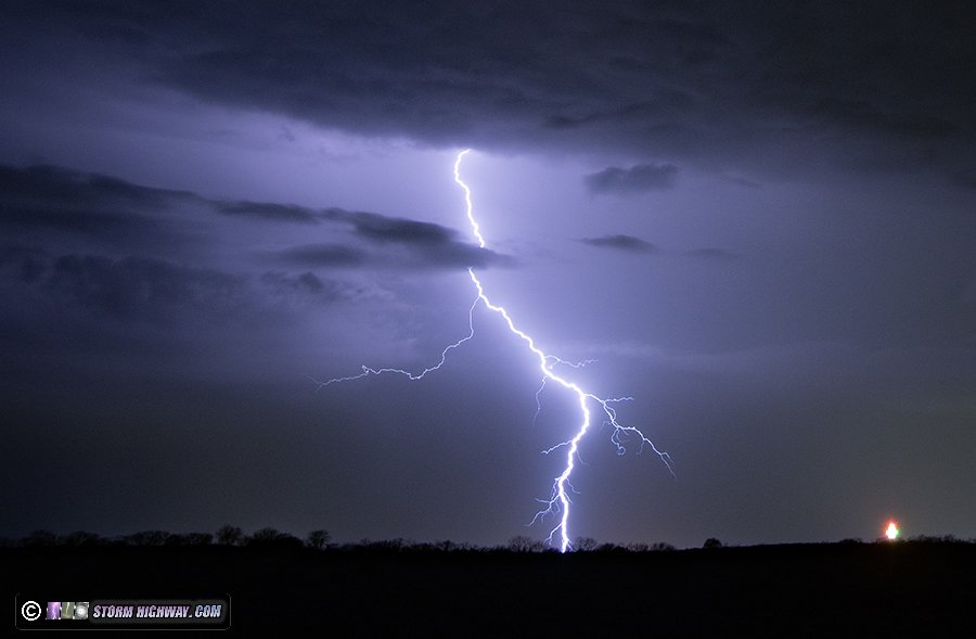
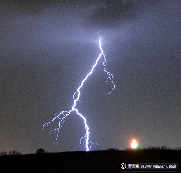
 November 18: Mascoutah, IL lightning November 18: Mascoutah, IL lightning
I wasn't expecting to even see lightning in the St. Louis metro this night, much less a volley of quality cloud-to-ground bolts. I went outside of town with the 50mm lens to see if I could pick up a few distant bolts from storms down near Perryville, MO. That storm disspated, but a new much closer cell developed about 5 miles to my west over Mascoutah and quickly produced a flurry of nice clear-air bolts:


 November 30: St. Louis snow November 30: St. Louis snow
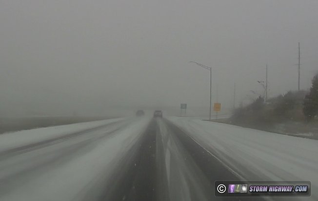
The first winter weather outing of the season was a 376-mile, 14-hour day for this well-advertised storm in the St. Louis metro on Saturday the 30th. Most of the metro area was at or above 30°F at dawn Saturday, so I expected the worst road impacts to be north of I-70 where temperatures were at or below 29°F. I started out along Highway 61 in Eolia, Missouri and made my way south and east throughout the day. I stopped to attempt video three times, twice for the expected icy roads in the Troy, MO area, then once more at an icy bridge in Hazelwood. After arriving home at 4pm, another heavy band of snow developed and passed over the metro, coating roads once more. I made another run out to Collinsville and back for that. No footage captured (on average, it takes me 5 winter storm events to capture *one* usable winter driving action clip).

Highway 61 in Troy, MO at 9:00AM Saturday.
< September-October 2024 Recap | All Storm Chase Logs | December 2024 Recap >
| View 1,599 storm chases: |
| by year: |
|
| by type: |
|
|
|
|
My work is, at this very moment you are reading this, generating the most income it ever has in my career. Yet, I was forced to shut down the professional side of my successul operation, against my will, due to one cause alone: 95% of that revenue is being stolen by piracy and copyright infringement. I've lost more than $1 million to copyright infringement in the last 15 years, and it's finally brought an end to my professional storm chasing operation. Do not be misled by the lies of infringers, anti-copyright activists and organized piracy cartels. This page is a detailed, evidenced account of my battle I had to undertake to just barely stay in business, and eventually could not overcome. It's a problem faced by all of my colleagues and most other creators in the field. |
GO: Home | Storm Chase Logs | Photography | Extreme Weather Library | Stock Footage | Blog
Featured Weather Library Article:
|


