Drone and ground video from this event:
My biggest chases this year have happened on days that I wasn't expecting something significant, and this was yet another example. Leading up to the day, the track of the remnants of Hurricane Beryl went from passing far to the west to coming right through my home area. A tropical low has tons of ambient shear and vorticity (lots of "spin"). Most inland post-tropical systems are completely overcast with nothing more than bands of stratiform, and occasionally heavy, rain. But when a dry slot with sunny skies develops after landfall and wraps into the low, the final ingredient needed for tornadoes - instability - is realized. Despite a prolific tornado day in Texas, Louisiana and Arkansas on Monday the 8th, models were wavering on whether this would continue into Tuesday the 9th in the Midwest. On the personal side, I had a dental appointment on Tuesday at 4pm. On Monday, despite my overall pessimism about Tuesday, I postponed my dental appointment just in case. On Tuesday morning, the first few visible satellite images to come in confirmed that clearing was indeed still wrapping into the system, so it would be a chase day. I left home at 2pm and headed east on I-64. Models and visible satellite seemed to show two areas of interest for supercells along a slowly advancing warm front on the eastern side of Beryl's center: one in the Evansville, Indiana area, and a second farther east near Louisville. Instability looked to be greater in the eastern zone, with models consistent on several isolated long-track supercells in this area. However, I chose the western zone for two reasons: one, it was closer to Beryl's center where low-level shear would be greatest, and two, the terrain and road network in southwestern Indiana was much better for chasing and storm visibility. This chase and intercept could not have been simpler: I drove straight to my initial target of Mount Vernon, Indiana (just west of Evansville) and waited. I decided the storm west of Hopkinsville, Kentucky tracking toward Mount Vernon looked like it would be the day's play. Due to the lack of bridges across the Ohio River here and the better terrain and roads on the Indiana side, I chose to just wait onthe Indiana side of the river. The storm, not yet tornadic, was moving directly toward Mount Vernon, but I anticipated that it might eventually turn right and pass just east of there. So, I parked on the east side of town and waited on the storm for the next 45 minutes at what turned out to be a few hundred yards east of where the tornado would eventually track. The storm did not turn right much, if at all, once it finally began wrapping up and producing its first tornadoes near Morganfield, Kentucky. I moved north to Seibert Lane, an east-west road on the north side of Mount Vernon that would let me easily reposition in either direction as needed. The forward-flank precip was obscuring my view of the updraft region, but finally cleared out as the storm was about 5 miles south of the river:
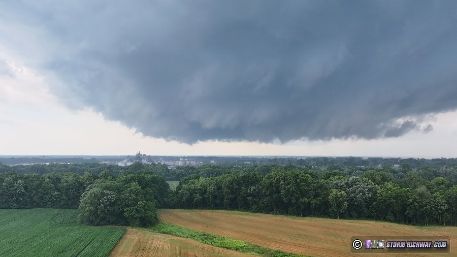
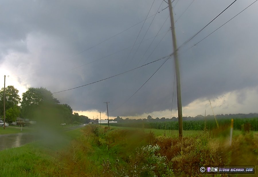 Trees, buildings and terrain in town were not great for storm visibility, so I had my drone prepped and ready to do the primary shooting. I made my final move to a spot where it appeared the circulation would pass just to my east, and launched the drone. Classic supercell structure was evident with rapid rotation on the left side of the RFD surge:
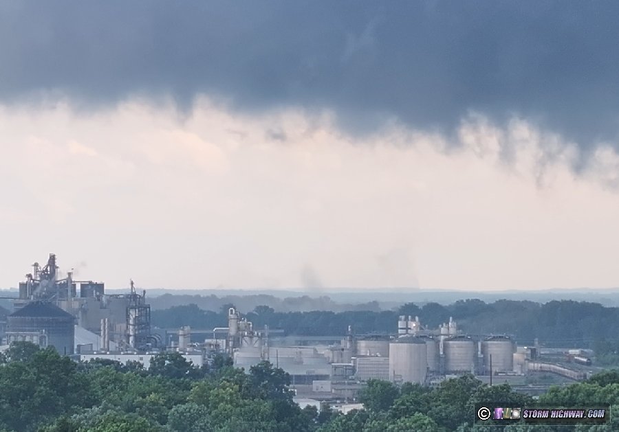
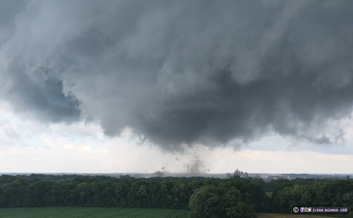
 The first wisps of a ground circulation appeared while the tornado was passing over the Ohio River:
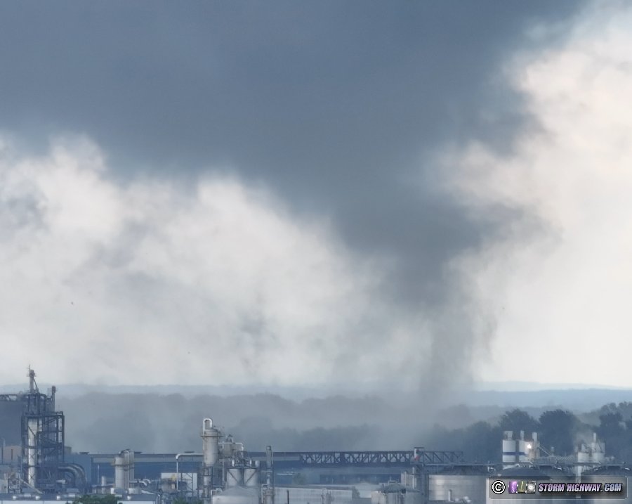
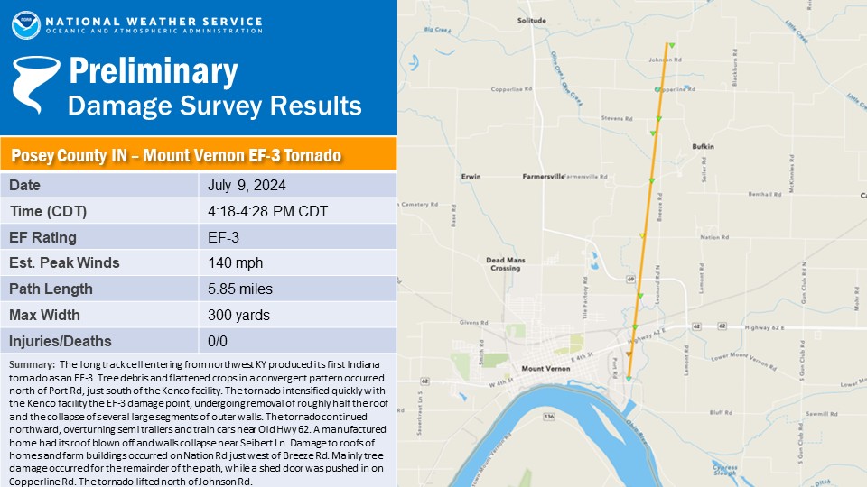
 Once across the river, the tornado intensified rapidly as it moved just east of the town, striking several commercial/industrial buildings.
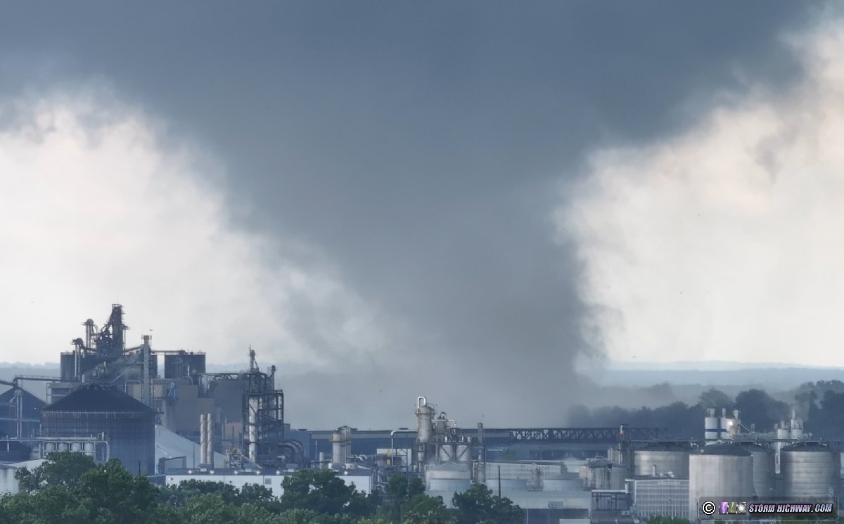
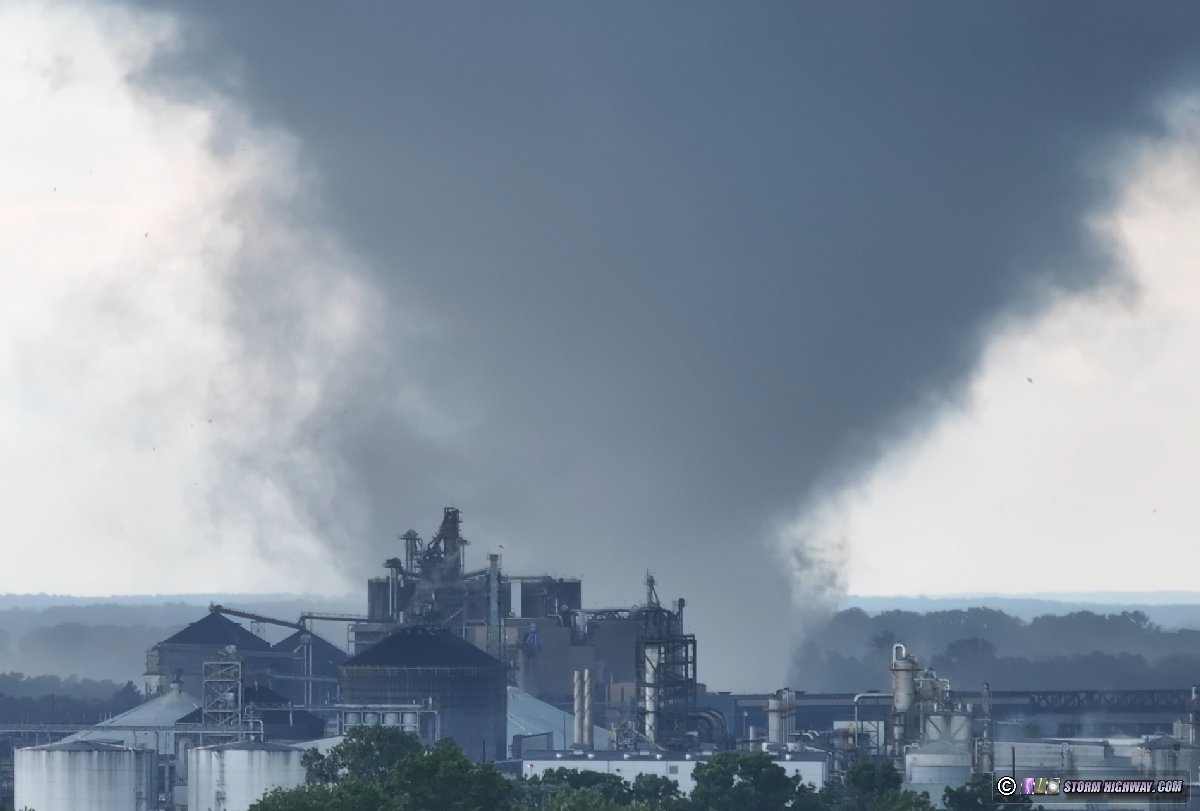
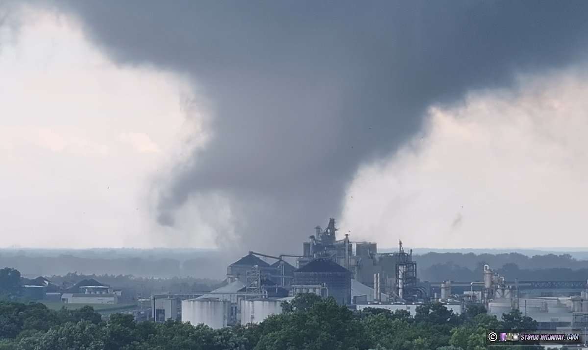
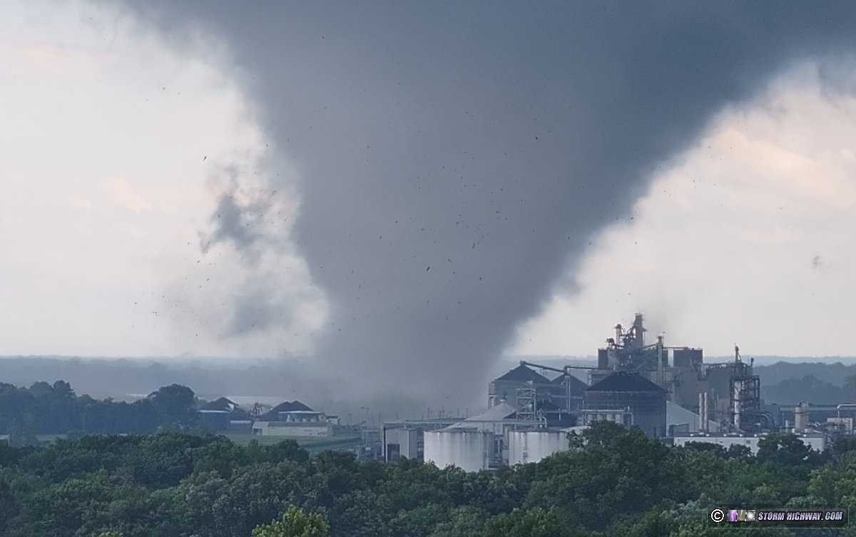
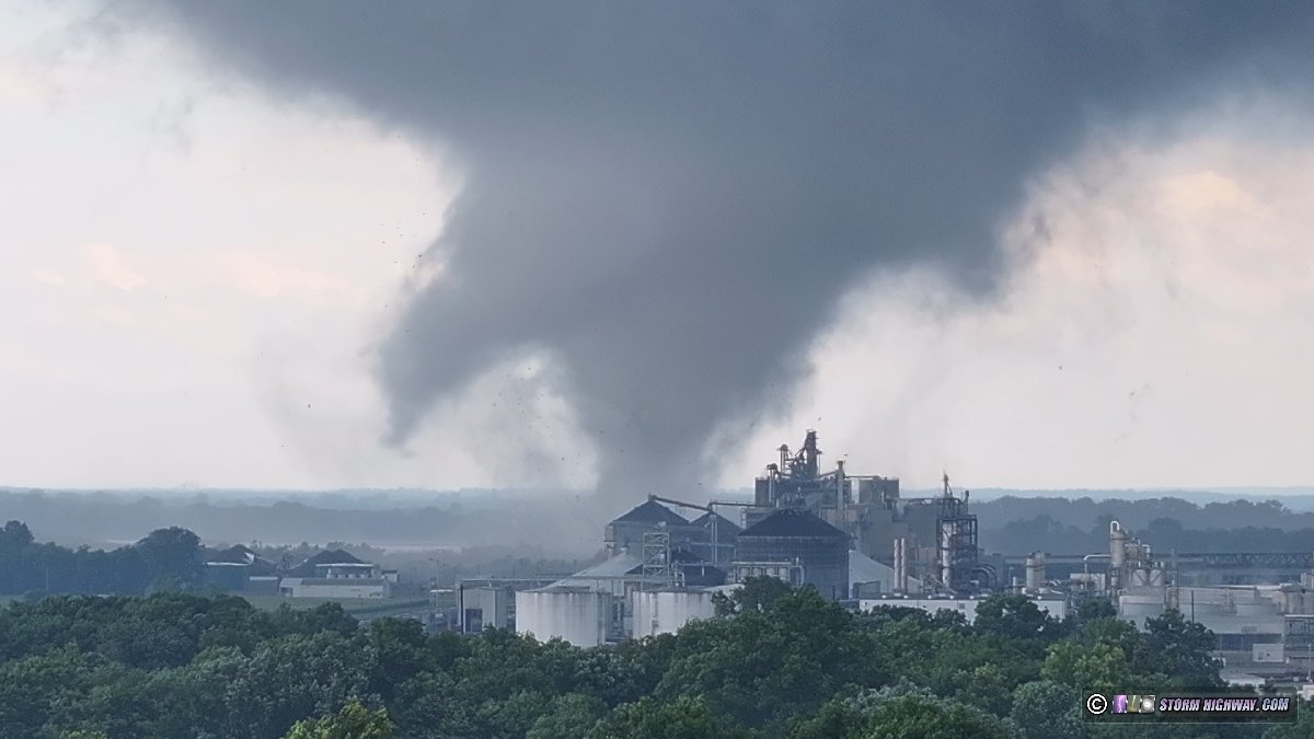

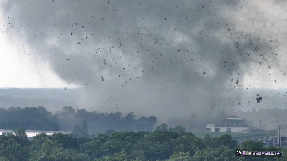
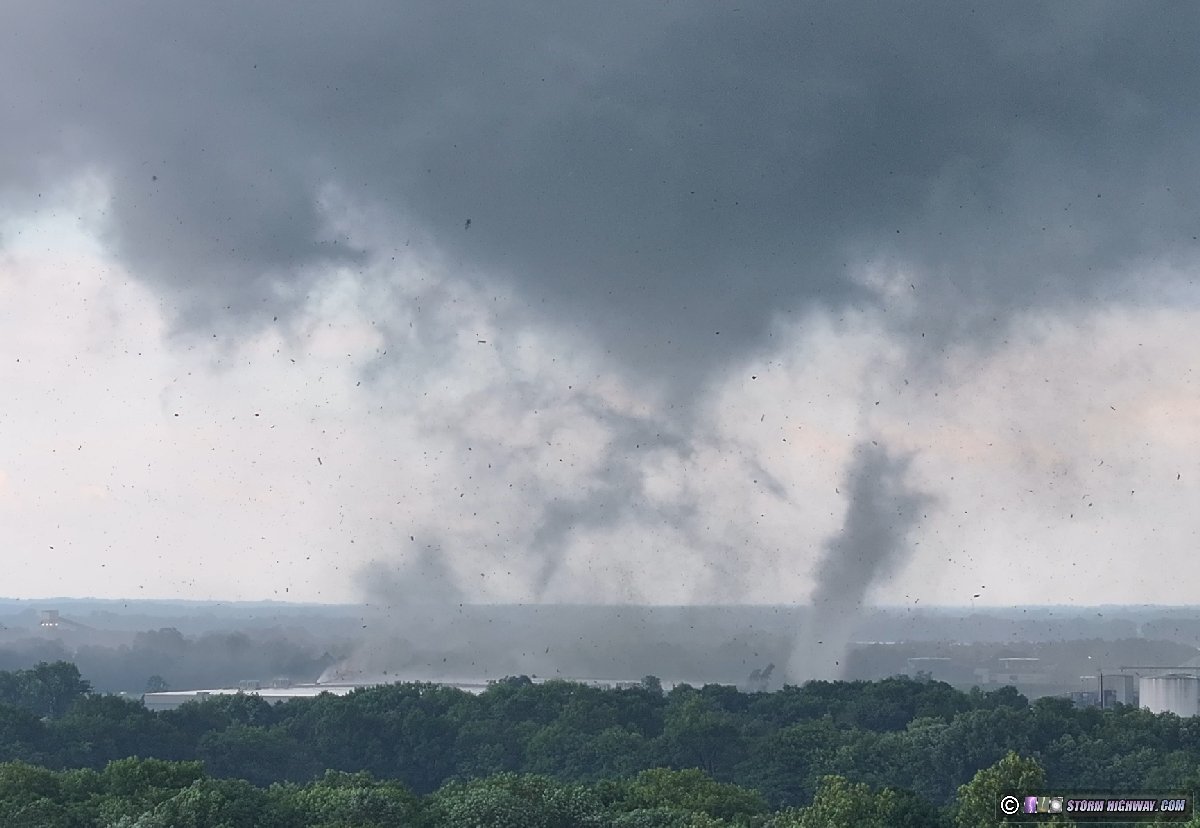
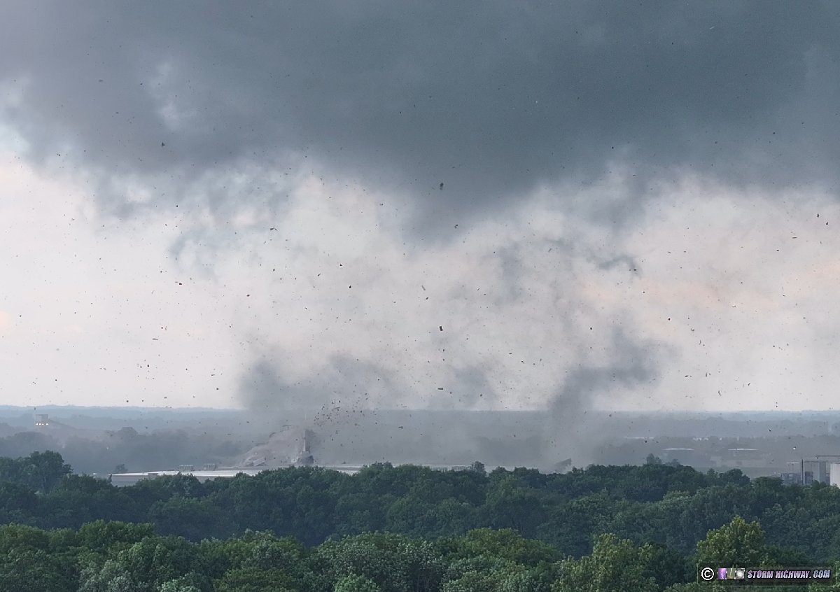 Shooting a tornado with a drone at this close of range introduces a safety issue in that it takes more time to make necessary repositions. You can't just quickly jump back in the car and go like you normally can: descending and landing takes anywhere from 30 to 60 seconds, which is an eternity when a tornado is that close. The tornado was rapidly approaching much closer that I'd planned to be to it, and I was concerned about a potential left turn that could put me within the path. As I brought the drone down to land, the now-roaring tornado struck an industrial warehouse and factory.
 Once the drone was on the ground, I switched to shooting with my main video camera as the tornado reached its peak size. The air was filled with debris from the industrial facility:
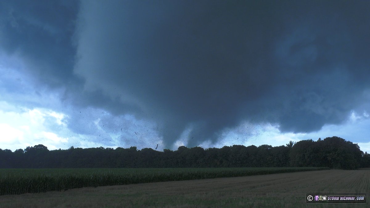
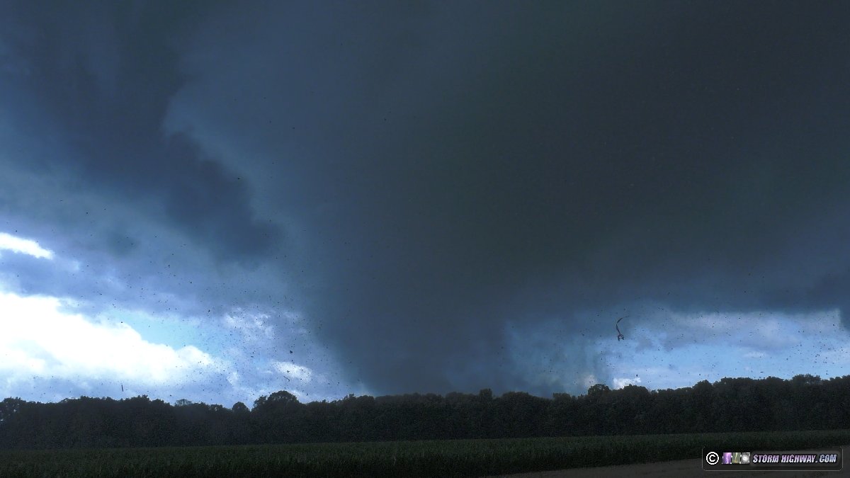 My position relative to this tornado, the roar and the amount of debris in the air was nearly identical to my April 26 intercept of the Waverly, Nebraska tornado. This tornado was larger and had much more debris (maybe 3x more) than Waverly. This was evident as the condensation cleared out to make the circulation more transparent:
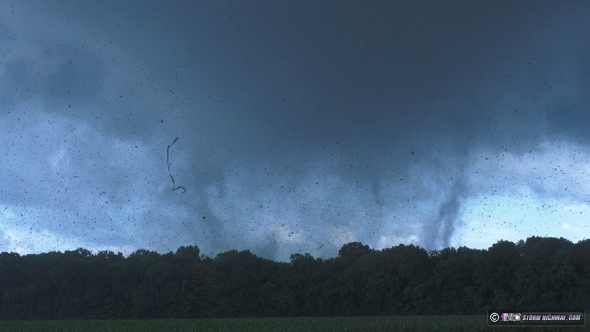
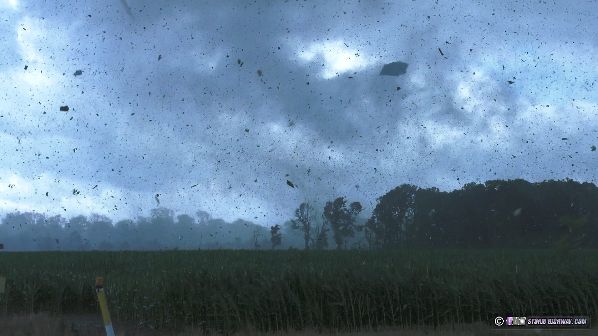 The debris field enveloped me as the tornado approached Seibert Road. I and my car were being pelted with the (thankfully lightweight) debris falling all around. This video is from my dashcams:
My next concern was the tall power poles/lines along the north side of the road. These can topple in a domino fashion once a tornado knocks one or two of them down. The poles would fall to the south at my location if this happened, so I opened my driver's side door, intending to jump in and bail a short distance into the field north of the road if needed. The northerly winds at my location were not very strong thankfully, and the tornado did not topple any of the poles as it crossed the road to my east. The tornado continued to display intermittent ground vortices under a cone funnel as it moved away to the north, weaker at this point but nowhere near looking like it was dissipating.
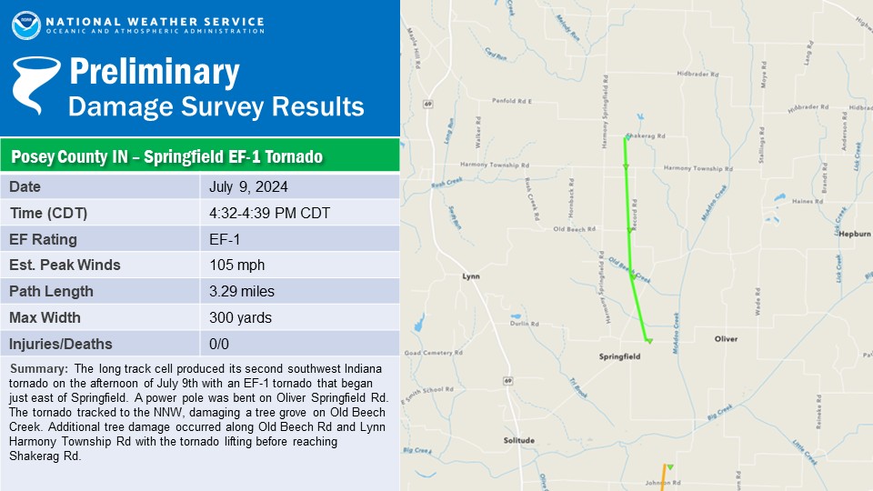
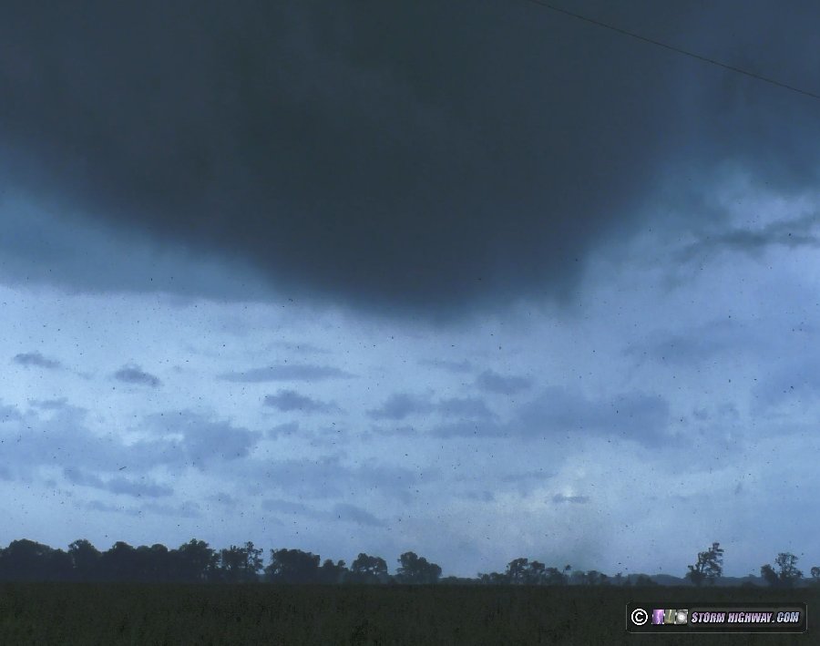 The RFD precip finally arrived and quickly blocked my view. I headed north inside the storm's heavy rain core. As is typical with tropical system supercells, there was no hail. Occasional debris was still falling inside the main and forward flank core as I drove north! I turned east at New Harmony, exited the rain and re-intercepted the updraft region of the storm southwest of Poseyville. An old tornado, now fully occluded (cut off from the main inflow by the RFD wrapping completely around it) was still in progress to my south:
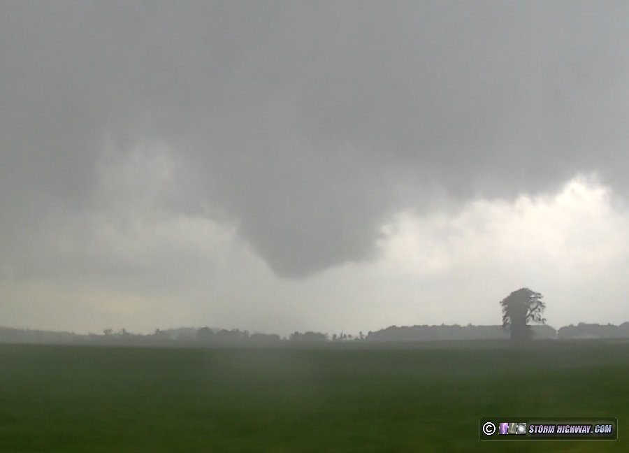 It turns out that this was the Springfield EF1 tornado, the second this storm had produced in Indiana. The storm was now in the process of developing a new circulation along the northwest side of the RFD, just to my north. Another circulation was also evident on the inflow/RFD interface right over Highway 165 as the updraft moved through Poseyville, and I saw several areas of lofted dirt and small debris on the ground south of town that I was not sure were tornadic or due to RFD. I am leaning toward these being tornadic, as the RFD winds never were very intense when I was in them, even when I was close to the tornado in Mount Vernon.
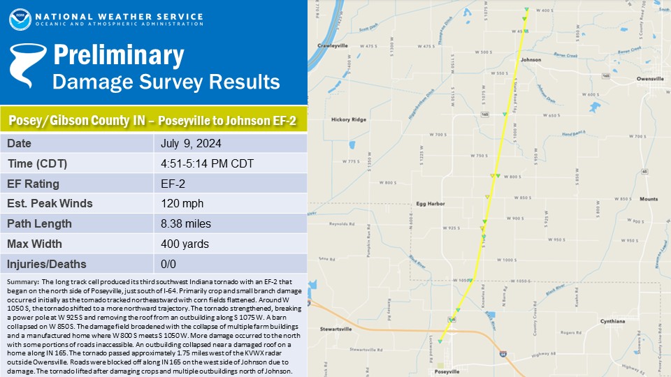
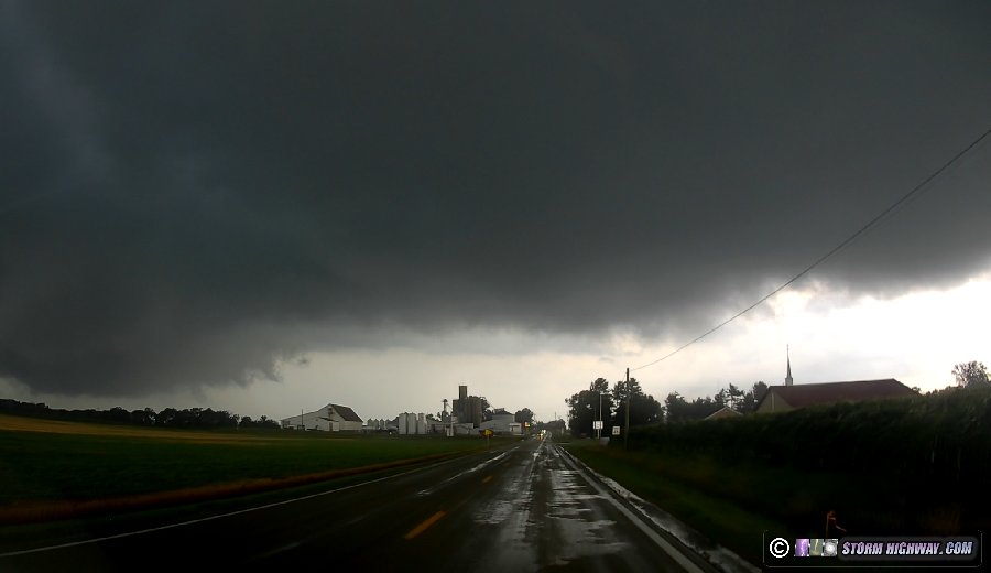 North of Poseyville and across I-64, the new main circulation was becoming dominant right over Highway 165. This began producing ground vortices just east of the highway, evident by a tight swirl of dirt and debris (unfortunately the dashcam did not pick this up here due to the overexposure of the sky below cloud base):
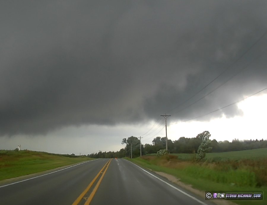 I moved east on the gravel road grid to the next north/south county road to stay with this. The farther north I went, the more tree debris was on the road. Finally, I could see the tornado at its near-maximum size in the center of the huge meso just west of Johnson:
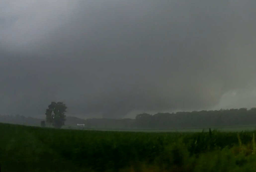 This tornado, the third of the day, was rated EF2. Less than a mile later, the road was blocked with fallen trees. I was able to get around the first four of them, but finally the road was completely blocked:
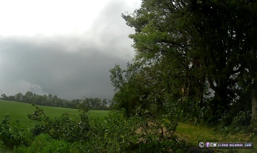 I went east to the next north road to attempt another route north (passing right by the Evansville KVWX radar):
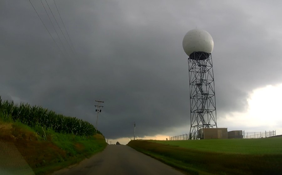 Highway 165 was also completely blocked at Johnson, forcing another backtrack:
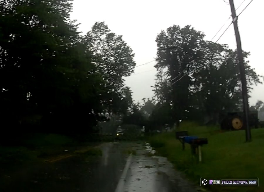 The tornado was now several miles north of me due to these road blockages, and since the storm was moving almost due north, there were no good roads to catch back up. I'd need to go east to Owensville, north on Highway 65 and then back west. With the storm looking like it was beginning a linear transition with a more rain-wrapped presentation on radar, I decided that maneuver didn't look to be worth it. Furthermore, the squall line to the west was now catching up to everything and itself had developed a strong circulation passing very close to the track of the first one. This was completely behind a rain-filled RFD and not visible. After this moved north and the squall line overtook me south of Owensville, I decided to call the chase. I arrived back home at 7:30PM to conclude a very short but one of my most significant chase days. National Weather Service Damage SurveysThese tornadoes were surveyed by the Paducah NWS office (PAH). The Mount Vernon tornado was the first July EF3 in the history of the Paducah NWS forecast area (since 1950). The storm produced a total of 6 tornadoes, another record for July in the same area.
GO: Home | Storm Chase Logs | Photography | Extreme Weather Library | Stock Footage | Blog
Featured Weather Library Article:
|
||||||||||||||||||||||
Web Site Design and Internet Marketing by CIS Internet


