OKAWVILLE, IL - This was a chase I've dreamed about happening since I moved to the Midwest. But this was better: not simply a strong 'backyard' tornado, but 12 miles from home - the storm moved right over my apartment and produced 20 minutes later. Although I knew the Midwest is fully capable of producing an event like this, I never expected an intercept like this so close by, on such a short chase (roughly 2 hours in duration). After I got home from work at 3PM, made my afternoon coffee and took some with me in a travel mug. When I got home from the chase, the coffee was still hot! I did not wake up thinking I'd see good storms this day, much less a tornado. I had noticed the potential early in the morning, and kept a satellite loop going in a browser window at work. By late morning, visible satellite loops showed an outflow boundary (sent out from overnight convection to the north) stalling just south of the I-64 corridor. This boundary intersected a northwest to southeast oriented warm front that stretched from north of I-70 in Missouri to east of Carbondale, IL. A modest 500mb jet max was overspreading these surface features by midday. Skies had largely cleared south of I-64 by noon, allowing adequate surface-based instability to develop. By early afternoon, the overnight MCS to the north of I-70 was not only progressively intensifying, but was mostly training parallel to itself. This had me concerned that rain-cooled outflow from this complex would impede surface-based updrafts near the warm front along I-64. When I got off work at 3PM, elevated 'junk' updrafts were beginning to fire along I-64 between Fairview Heights and Lebanon. All of these factors influenced my initial plan to play farther south along the warm front, in the Pickneyville, IL area. My hope was that a storm would initiate southwest of that area, well removed from the mess up north by the time it reached the warm front. However, the lack of an upstream cumulus field where I wanted one to be, coupled with short-term model guidance suggesting that storms would not fire much farther south of I-64, convinced me to stay put at home in New Baden. I decided that with plenty of time to spare, I would wait at home until the picture became clearer. After 4PM, a new intense-looking storm fired in Missouri about 40 miles southwest of St. Louis. It wasn't exactly where I wanted it (too far west), but looked like a possible player. I feared, though, that it might eventually dissipate given its failure to really establish itself and grow over the following 20 minutes. I finally decided to leave home to be poised to jump on this one if need be. Its intercept would have been near Red Bud, IL. At this time, a new storm had gone up just to my west near Scott AFB, immediately south of the complex to the north. It first looked like it might simply get absorbed into the mess to the north, but it had a respectable rain-free base approaching New Baden. Soon, it started producing a nice CG barrage to the west.
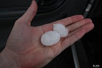
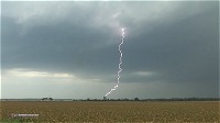 After a few minutes, a lowering appeared, which rapidly grew into a wall cloud as 1.5" hail bounced in the fields and on the road. A loud hail roar could be heard to the north toward Summerfield. It quickly became clear that this storm would be the one to stick with.
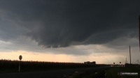  At New Baden, the storm sent out a disheartening blast of outflow that destroyed any good 'look' it just had, completely absorbing the wall cloud.
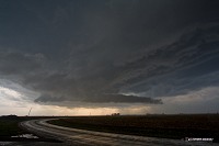 A dark shelf cloud raced to the south, with nothing but cold northerly winds behind it. I really thought the storm had done itself in at this point, but I decided to maintain hope and get to the eastern edge of the outflow where inflow could possibly get re-established. Finally, it appeared this was taking place between New Baden and Albers, with the eastern edge of the shelf cloud transitioning into a very low and ominous base.
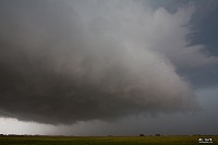 As I moved east with it, the winds finally began to shift from out of the south as the storm regained an inflow corridor. At Damiansville, the cloud motions overhead were some of the most rapid and turbulent I've seen. It was similar to how the Mulvane, Kansas base acted a few minutes before its first tornado on June 12, 2004.
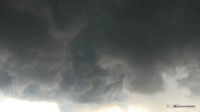 I jumped on I-64 eastbound to stay ahead of the storm, now looking quite good with southerly inflow now racing across the interstate, picking up leaves and dust. At Okawville, a wall of precip was rapidly developing to the south and wrapping in, creating a classic HP notch directly over the I-64/Highway 177 interchange. I exited at Highway I77 and stayed just ahead of the area of circulation.
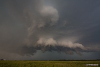 I then moved east at regular intervals to keep a close eye on the storm and stay ahead of the precip. About a mile east of Okawville on 177, a short funnel developed and persisted for nearly a minute. After closer observation, this turned out to be a 'bowtie funnel', a horizontal or circular vortex dipping below the cloud base.
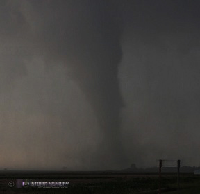
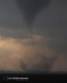
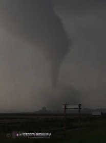
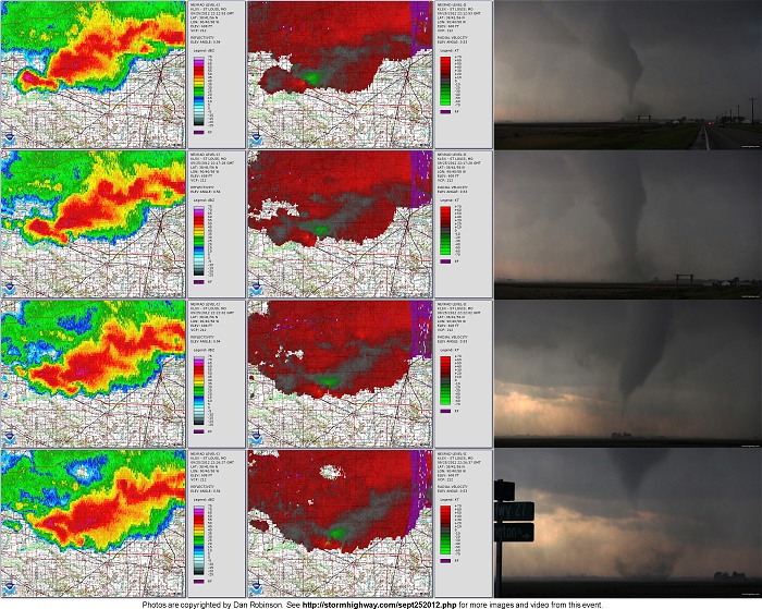
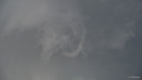 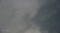 Precip caught up to me again, forcing another jog east. I pulled over again, got out, and looked back to see that a tornado had rapidly developed just to the west! I had no time to tripod the camera, opting to settle for handheld.
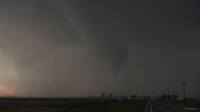 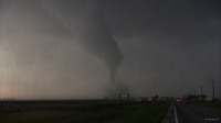 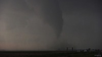
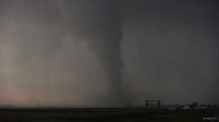 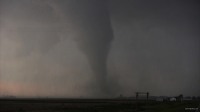 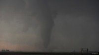
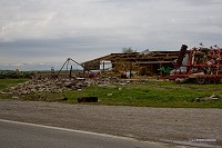
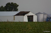
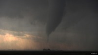 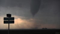 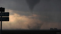 The tornado reached its strongest phase over open fields, but damaged some structures on Highway 177 as it was getting started. After grabbing these shots, I sacrificed some additional debris cloud video in order to get back in the truck and blast south, a move I felt was worth it for the chance to make a close approach to the tornado as it crossed the road.
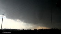 The tornado dissipated rapidly, however, as it and I both moved toward I-64, but not before it overturned a tractor trailer on the interstate. I headed back north to 177, making it east ahead of a new circulation at New Minden as the tornado sirens wailed. The wall cloud here was very low with a persistent funnel, which may have been a tornado given the short distance to ground. I did not see any evidence of a ground circulation, however.
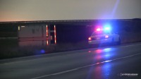
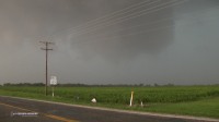 After this, I did not chase any further signs of organization as the storm became increasingly outflow dominant across its entire southern and eastern flank. With backbuilding convection to the southwest, I decided to head back westbound on I-64 should any of new activity interact with the warm front. However, it appeared that the new storms were entirely north of the previous storm's outflow and unable to develop low-level organization. On the way west, I passed the second of two tractor trailers that had been blown over:
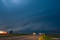
 Just before I arrived back home in New Baden, a second line of storms pushing in from the west produced a dramatic shelf cloud looming over the town and interstate.
 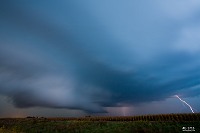 After a short break at home, I headed back out for lightning photos as a third and fourth round of storms moved through.
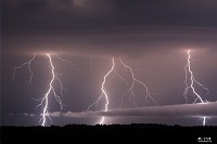 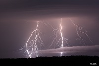 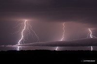
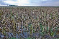
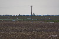
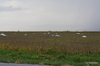
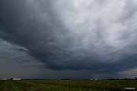
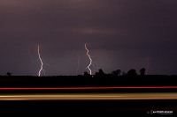 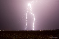 A fifth cluster of storms moved through around 3AM with frequent and loud lightning, but I had to let it go. I was simply exhausted from the long day (beginning with waking up for work at 5:30AM Tuesday) and facing the alarm going off again at 5:30AM for work Wednesday. I went back to Okawville after work on Wednesday to view the damage, as yet another thunderstorm approached from the south.
   In yet another testament to the benefits of covering the Midwest and out-of-season: I saw no other storm chasers the entire day! As far as I'm aware, there was only one other chaser (Jake Thompson of Edwardsville, IL) who saw this tornado. His video is linked below. This event adds considerably to what I already deemed to be my all-time best tornado year (thanks to the April 13-14 days in Oklahoma). This is my fourth Illinois tornado, second fall tornado and fifth captured in the Midwest region (outside of the Plains). In terms of personal significance (that is, the blessing of a 'dream storm chase day' coming true), this event is right up there in the top 3. In storm chasing, it doesn't get much better than this! Other chaser accounts from this event:
Radar imagery
|
|||||||||
Web Site Design and Internet Marketing by CIS Internet


