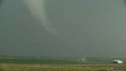
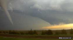
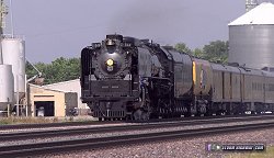
BUSHNELL, NE - As models began to converge on a tornado-favorable pattern returning to the Plains for at least two days thanks to an ejecting upper trough, a second storm chase expedition for the season looked like a sure bet. The question was whether to do a one-storm chase expedition to Nebraska/Kansas for Tuesday, or add the additional day in Wyoming/western Nebraska on Monday. The latter would require significant additional distance (over 1,000 miles) for just that one extran storm chase day, plus leaving a day earlier and two extra overnight stays. For that reason I had initially been focusing only on Tuesday's potential. However, as newer model runs came in, Monday just got better and better looking - eventually to the point that it was clear it would be a major event - possibly the best of the season, worthy of the extra effort and expense to be there. GPS LOG: Click to view the GPS track for this chase The long trek to Wyoming was reminiscent of my storm chase expeditions of old from West Virginia, when I would have to leave a full day before a chase in order to cover the miles and make it in time (and get some sleep on the way). Accordingly, I departed for the Plains on Sunday afternoon, driving to my overnight stopover of Grand Island, Nebraska. I was back on I-80 westbound by 9AM Monday morning. I had seen on my Twitter feed that Union Pacific's steam locomotive #844 had left Cheyenne the day before en route to Omaha, and that we would be passing each other at some point on the way (the UP mainline parallels I-80 from Cheyenne to Omaha). Thanks to UP's timely Twitter updates on the location of the train, I was able to make a 10-minute stop at Odessa to catch it. A operating mainline steam locomotive is a rare sight, much more rare to see one on a tornado day!
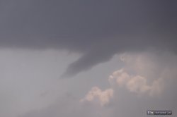
 I made it to Cheyenne as storms began firing in the Rockies just to the west, stopping to grab some dry ice for the hail cooler and to mount the hail shields. My original target was Torrington (to the north of Cheyenne). However, by the time I was ready to start the chase, a storm was already firing up there and appeared to be out of range to make in time. Not to worry, as two clusters of storms immediately southwest of Cheyenne (just across the border in Colorado) looked just as favorable and heading into a prime environment for supercells and tornadoes. I dropped south of the border and headed east on a gravel county road until I had a clear view of both updraft bases. The northern one produced a brief funnel:
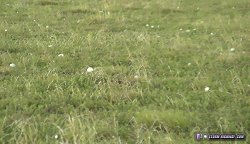
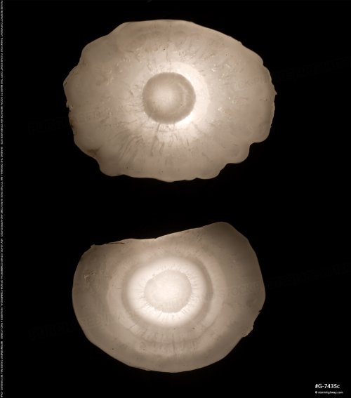
 The southern cell was taking over as the dominant storm, and I positioned just east of it near Grover to watch it approach. Hail began falling at my location, increasing in size until baseballs began bouncing on the road and in the fields. The car took a hit from at least two of these as well as countless golf ball (and larger) stones, the hail shields keeping all of the windows intact. Without the shields, I surely would have lost multiple windows at this point (as several other storm chasers did nearby). Once the hail core was east of my location, I got out and collected a few of the baseball-sized stones to take home in the cooler.
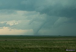
 The RFD arrived soon after this, and I elected to take the road east of Grover to stay ahead of the storm - a maneuver that required going east five miles, then north to I-80. While I was doing this, the trailing meso of the storm produced a significant tornado that I observed from a great distance:
 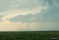 I caught up to the storm's new meso just after crossing the border back into Wyoming at Pine Bluffs. After I crossed north through a very strong RFD surge, two tornadoes spun up in the field to my east:
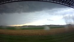 As these circulations moved farther away, a funnel appeared aloft:
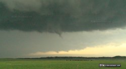 A series of mesas to the east were blocking my view of the ground-level circulations, so I elected to continue northeast into Nebraska for better terrain. As I made this move, another well-defined funnel appeared:
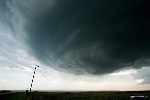
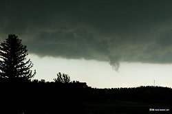 I am not sure if this was a continuation of one of the earlier circulations or a new one. At Bushnell, I made it ahead of the storm's newest meso, while a remnant meso was apparent to the west. This was the view to my south:
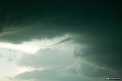
 A horizontal vortex appeared to the west associated with the easternmost (closest) circulation:
 The very strong RFD (at least 70 to 80mph) associated with the closest meso hit soon after, threatening to snap the power poles along the road as the TWIRL armada passed by:
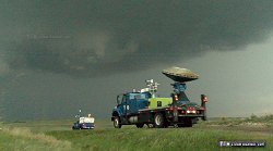 Continuing north, yet another new meso became apparent to the east, bringing the total active circulations in the storm to three. The center meso - the one closest to me - finally wrapped up and produced a high-contrast tornado.
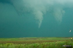 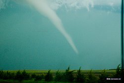 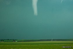
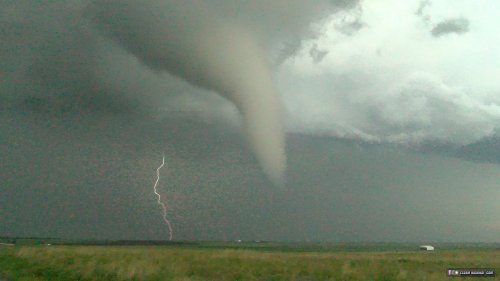
The tornado crossed the road a few hundred yards in front of me, destroying a barn and tossing large hay bales across the road:
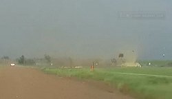
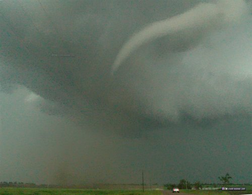
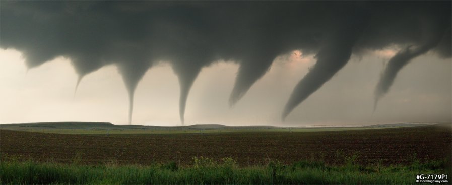
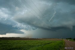 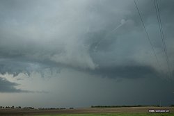 As this tornado roped out, the oldest meso produced a high-contrast tornado immediately to the west, which lasted for a few minutes as it intermittently condensed fully to the ground:
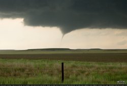 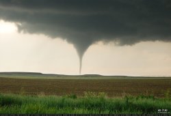 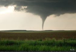 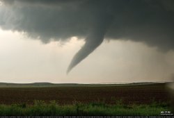 This 7-frame panorama composite shows this tornado's life cycle:
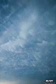
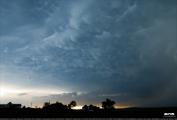
 As I moved north on the gravel-aggregated dirt roads, I was driving farther into the storm's heavy precipitation swath. This meant that the dirt in the roads was becoming mud, making driving increasingly treacherous. Muddy roads like these that have lots of gravel are fortunately still passable without 4WD, but they require much slower speeds akin to driving on snow. Due to my reduced speeds here, the storm got considerably farther ahead of me to the northeast until I exited the precip swath and returned to dry roads. I was able to catch up again east of Harrisburg, but with the fading daylight and the storm appearing more HP, I could not see well enough to warrant continuing the chase. A nice mammatus display spread out to the west here:
  I headed south to Sidney for the night, ending the day and the chase at 11PM central time. After I returned home from the trip, I cut a few of the Colorado baseball-sized hailstones open and shot some backlit close-up images:
 NEXT PLAINS CHASE: Marginal severe storms in central Nebraska >
|
||||||
Web Site Design and Internet Marketing by CIS Internet


