HD EXPEDITION VIDEO 1: The Rozel, Kansas tornado: Watch Video
HD EXPEDITION VIDEO 2: The second Rozel/Sanford tornado: Watch Video
HD EXPEDITION VIDEO 3: Rozel tornado HD dashcam timelapse: Watch Video
Click any thumbnail on this page to view a larger version.
|
My work is, at this very moment you are reading this, generating the most income it ever has in my career. Yet, I was forced to shut down the professional side of my successul operation, against my will, due to one cause alone: 95% of that revenue is being stolen by piracy and copyright infringement. I've lost more than $1 million to copyright infringement in the last 15 years, and it's finally brought an end to my professional storm chasing operation. Do not be misled by the lies of infringers, anti-copyright activists and organized piracy cartels. This page is a detailed, evidenced account of my battle I had to undertake to just barely stay in business, and eventually could not overcome. It's a problem faced by all of my colleagues and most other creators in the field. |
ROZEL, KS - This was a top 3 storm chase day in Kansas on Saturday, with two of the most dramatic, perfect and photogenic tornadoes I've ever seen. The first Rozel tornado was equal to the legendary Campo, Colorado tornado in my opinion, and will likely be known as one of the best tornadoes of the decade for storm chasers. The following is a log of the day's chase. All images on this page can be viewed in full-screen high-resolution by clicking the thumbnail.
GPS LOG: Click to view the GPS track from this chase
I left St. Louis on Friday afternoon, with a stopover in Russell, Kansas for the night. My target for Saturday was along and just south of the dryline bulge in south-central Kansas, where strong instability and upper support would be maximized. I also was eyeing the area from Hays to near Goodland as a tempting secondary target, an area with lesser amounts of instability but better directional shear closer to the surface low. I drifted southward from Russell, favoring the southern target but keeping the northen one within reach if needed.
By late afternoon, cumulus fields in the northern target signalled initiation was about to happen there, and the first storms went up south of Hays. I was severely tempted to go north to intercept, but hesitated due to cumulus also starting to show up in the Oklahoma panhandle upstream of the southern target. I finally resolved to stick to my target and let the northern storms go for good. I slowly moved south toward Greensburg, eventually parking there for about 20 minutes while towering cumulus to the west signalled imminent storms at the dryline bulge. As these started to grow into thunderstorms, I moved back north to Kinsley to get in front of the stronger updrafts.
Finally, a legit storm emerged from these smaller cells with a nice updraft base:
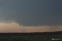
About this time, storms were exploding to the south in northwestern Oklahoma, which appeared to be headed for a more ideal environment. I actually began driving south toward the Oklahoma activity, but was torn between that and how good the Kinsley storm was starting to look. Finally, a stout wall cloud developed briefly on the Kinsley storm, and I just couldn't bring myself to leave it any longer. I felt frustrated that the Kinsley storm was going to sucker me away from what I thought was the better play to the south, but the storm's visual appearance was too much to ignore.
The questioning of my choice eased when the storm begain producing a series of well-defined midlevel funnel clouds as it was just west of Kinsley, at one point two of them at once:
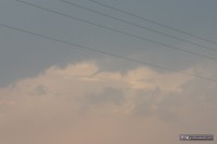 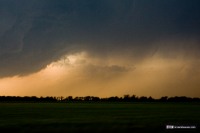
The storm continued to look good as it moved northwest of Kinsley:
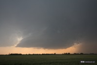
At this stage, I was beyond the point of no return - I would not be able to intercept either the northern or southern storms before dark, so I was going to be stuck with whatever this storm did. I was nervous about it getting seeded with precip from the anvil of the storms to the south, or getting absorbed by the storm to the north. It also was initially moving a little too far to the left for my liking. Nonetheless, this was my storm now.
I headed north on Highway 183 for several miles, anticipating the storm turning right and getting closer to the road if it ever did really get going. I finally decided I had gone far enough north, and stopped to chase the storm. During the next few minutes, the base began looking more ominous, with lowerings developing. The lowered area soon began to visually rotate.
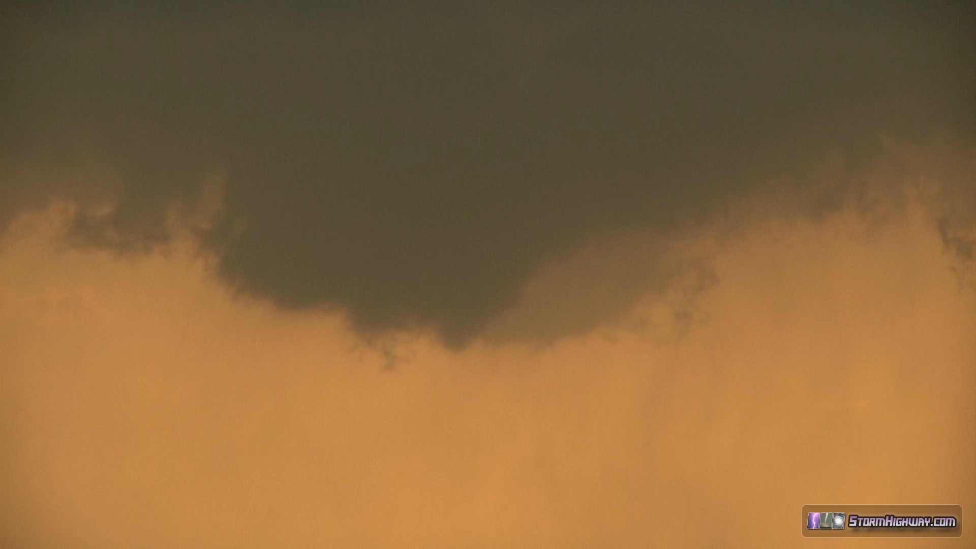
A funnel developed, slowly and gradually lowering toward the ground. Light dirst swirls were already visible on the ground, marking the start of the tornado.
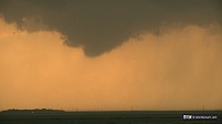 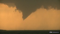
A small condensed vortex appeared on the ground briefly, followed by two power flashes as the funnel continued to lower:
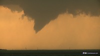 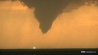 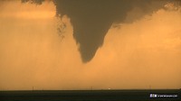
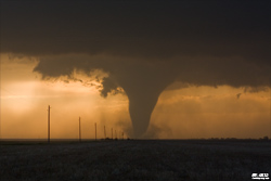
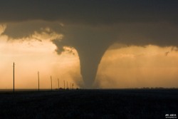
The tornado intensified, fully condensing to ground and developing a large debris cloud. While I was zoomed in for a short time at the tornado base, a positive CG lightning bolt struck just behind the tornado. The strong high-contrast tornado against the sunset-orange backdrop was breathtaking.
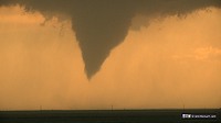 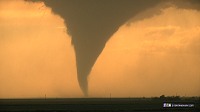 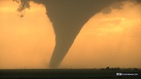 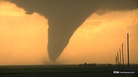 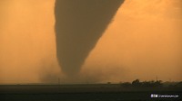 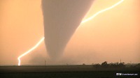 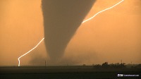 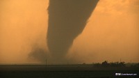 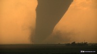 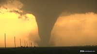 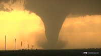 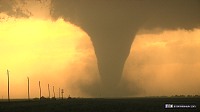
The following are DSLR Stills taken during this time, all with the Canon 50mm 1.8 lens:
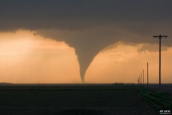 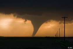  
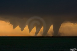
Here is a digital composite showing the developing stages of the tornado:
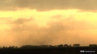
I finally decided that I wanted to get a closer view of the tornado, even though by doing so I would forfiet photos and video of it for the next 5-6 minutes. I headed up to Highway 156, then turned west toward the tornado. This sequence of driving toward the tornado can be seen in my dashcam timelapse video. When I got to within a 1/2 mile of the tornado, the funnel had lifted, but the debris swirl was still on the ground just west of the town of Rozel:
To the east, a new mesocyclone could be seen rapidly developing, so I abandoned the weakening Rozel tornado and headed east toward the new meso. As I did, the Rozel tornado's funnel re-developed, extending nearly 2/3 of the way to the ground:
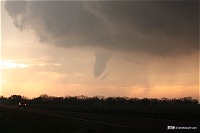
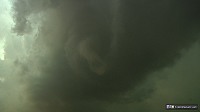
In the meantime, the new meso was starting to crank up. I was right at the RFD/inflow interface on Highway 156, about a mile east of Highway 183. I was feeling westerly winds at the surface, but the clouds just above me were racing west (in the opposite direction)! I slowly moved east with this feature. Finally, an area of rapid rotation developed directly overhead. A funnel started to come down - this view is looking nearly straight up!
The funnel was moving slowly northward away from me, so I did not feel I was in any immediate danger. I quickly set up my video camera tripod, which was promptly blown over by a gust of the RFD. At first, the focus mechanism would not work, and I feared I had just destroyed my brand-new camera. I powered the camera off and on again, and then thankfully, everything worked fine. And just in time, because the now-tornado was spinning up the first debris whirls in the field about 1/4 mile to the north. I was close enough to hear the tornado, which made a soft 'shhhh' sound as it disturbed the wheat crops and kicked up soil:
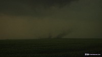 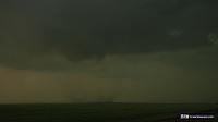 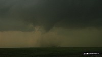 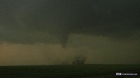
Some maps label a small place called "Sanford" on Highway 183 south of here. Upon further investigation however, there appears to be no such town called "Sanford" in official records, and many maps don't even show it. The only structures at "Sanford" are agricultural buildings and silos. So, technically, this is the second "Rozel" tornado, though you may hear others refer to it as the "Sanford" tornado. I'll just call it the Rozel/Sanford tornado, or Rozel tornado II for now. (If you live in this area, send me a message, I'd like to know if Sanford is an actual place that locals call by that name.)
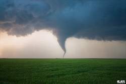
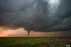
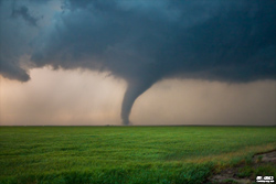
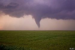
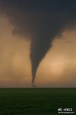
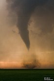
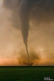
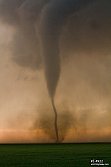
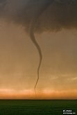
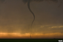
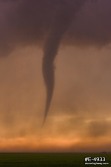
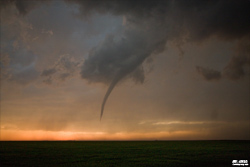
The tornado stregthened, condensing fully for brief periods, and generally putting on a very nice show in the open fields. As the sun set, the tornado narrowed into a rope, with short 'drill bit' stages with debris clouds at the ground. Again, this sinuous, spinning and morphing tornado was quite the amazing display, and in perfect lighting.
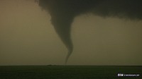 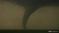
This tornado and its ambient light environment was perfect for stills, and I captured many "keepers". These are all of the DSLR stills, most using the Canon 50mm 1.8, but a few are from the Canon 10-22mm:
    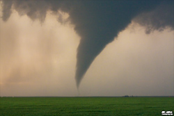 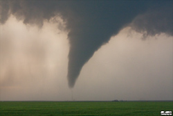 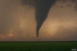 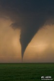         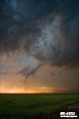
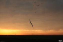
The tornado was now fully occluded, and completely faded from view. All of the updraft cloud material vanished, and so my attention turned east to look for the next meso cycle. As I put all of my gear back into the car, I looked west and saw the tornado re-condense near the ground. There was no cloud material above this until up at the anvil level! A debris whirl remained on the ground under the tornado, incredibly still going with no storm above it!
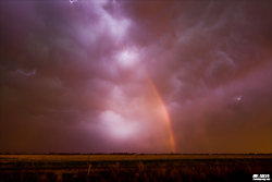
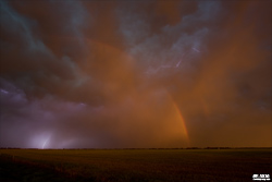
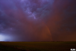
After this, I turned back to the east to prepare for the next meso cycle, but the storm was visually lining out, with radar confirming this. However, the storm wasn't done putting on a show. The setting sun was starting to shine strongly on the back of the electrified stratiform precip region, and a rare rainbow+lightning opportunity emerged. I pulled over and shot these images just west of Larned, Kansas:
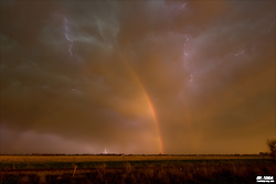 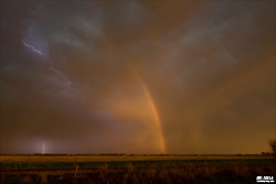   
I intended to get a hotel in McPherson, thinking I'd probably be going south on I-35 for the next day's chase. However, with graduation weekend, everything was booked, and I ended up going east to Hillsboro to get a room. That wrapped up a long, but one of the best, storm chase days of the decade!
Other chaser accounts from this event:
NEXT PLAINS CHASE: Kansas/Oklahoma supercells, May 19 >
Hey Dan. I'm Tom's aunt. I live south of Hays, Ks. We were worried about those storms today. Looks like you were in the right place at the right time. Great photos. Glad they missed us. Be safe out there!
- Posted by Paula from Hays ks | | |
Nice work - great pictures Da. That was some shot with the tornado and lightning.
- Posted by George Duffield | | |
Wow, great job Dan. Large tornado with orange sky and lightning background is epic. I hope the tornadoes did not damage any homes or properties. Thank you for the quick update. Be safe!
- Posted by Luka from Arizona | | |
Thank you all for the comments! What a day!
- Posted by Dan R. from Emporia, KS | | |
Check today's Charleston Daily Mail FB page for another double rainbow. Amazing tornado shots, by the way!
- Posted by David Rowh from Salisbury NC | | |
wow
- Posted by james lilly from Round Lake Beach | | |
Great shots!!
- Posted by Mat. Anna from McComb, MS | | |
Nice one Dan !!
- Posted by Mick from UK | | |
������!
- Posted by ������� from Russia | | |
|