In September of 2025, my work is generating the most income it ever has in my career. Yet, I'm being forced to shut down my successul operation, against my will, due to one cause alone: 95% of that revenue is being stolen by piracy and copyright infringement. I've lost more than $1 million to copyright infringement in the last 15 years, and it's finally brought an end to my professional storm chasing operation. Do not be misled by the lies of infringers, anti-copyright activists and organized piracy cartels. This page is a detailed, evidenced account of my battle I had to undertake to just barely stay in business, and eventually could not overcome. It's a problem faced by all of my colleagues and most other creators in the field.
I've really been uncharacteristically slowing down with blog postings lately, so I felt like conjuring up something just to break the silence. I've been pretty busy the past couple of weeks with commercial web site work, so that coupled with the local weather being quiet for the better part of the last three weeks means that there is not much to talk about. The skies have been amazingly clear the past couple of days - but again, due to work obligations, I haven't been able to take advantage of those for my planned landscape photography projects. I browsed through my photo folders from the past 2 weeks or so looking for something at least marginally interesting to post here today, but there just isn't anything that meets that threshold. I don't even have a single July folder on the 2009 storm chasing section of my hard drive, at least not yet.
So, it's been just the daily routine the past few weeks. Even though it's still 'storm season', summer can get stagnant like that around here from time to time. The summer 2009 storm season in the Appalachians has so far been fairly elusive, at least after the first few days of June. There have been a few spotty 'newsmaker' storms just outside of realistic 'chasing' reach (very transient unexpected events), but nothing really within easy range. We've also had a few nice setups since July 1 that were ruined by either bad timing (weak storms arriving in the morning) or cloud cover (hindering instability). Nothing like June of last year, that's for sure. Looking back through my chase logs, however, is a reminder that July and August can occasionally be very active periods - so the season is definitely not over yet. The GFS model wants to kick an upper trough down toward us by later this week, which may bring a few storm chances to 'home' territory starting late Wednesday.
As for future plans, it's been a long time since I've covered a hurricane (the last tropical system I did was TS Ernesto in 2006, the last hurricane was Rita in 2005), and I'm hoping to get to chase one this season, finances permitting of course. My range this year will likely be limited to the Carolinas unless a paying job comes along. The fall severe storm season also comes to the table starting in September, though this is more of a hit-and-miss prospect in any given year. Always worth paying attention to nonetheless. Other than that, not much to discuss.
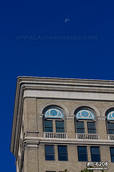
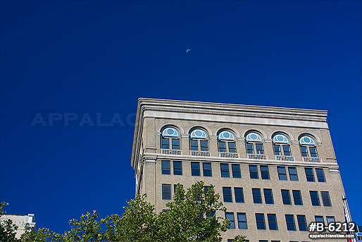
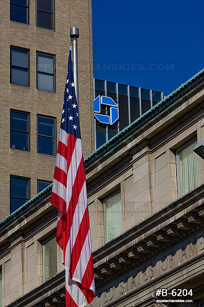
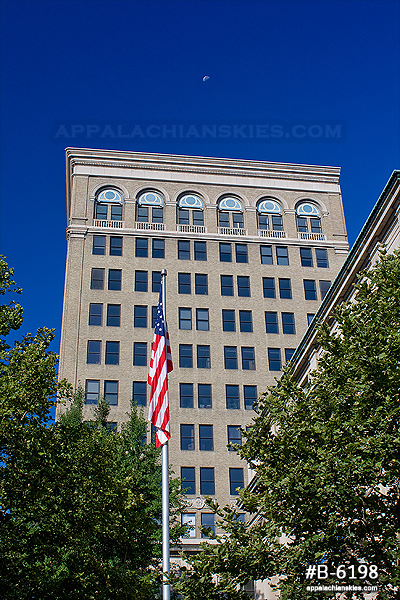
Update 10:48AM: I snuck outside for a few minutes this morning to get a few frames with the perfect blue sky. So, today's post does end up geting some photos.
Web Site Design and Internet Marketing by CIS Internet
From Dan: Please Read
To my regular readers, I offer my apologies for this heavy-handed notice. Unfortunately it has become necessary, so please bear with me!
Please don't copy/upload this site's content to social media or other web sites. Those copies have been a critical problem for me, seriously harming this site and my photography/storm chasing operation by diverting traffic, viewers, engagement and income. "Credit" and "exposure" does not benefit this site or my operation, rather they threaten my ability to cover my operating expenses. Please read my full explanation for this notice here.
Before continuing, check each box to agree to and acknowledge these two statements:
Click this button to finalize this acknowledgement: