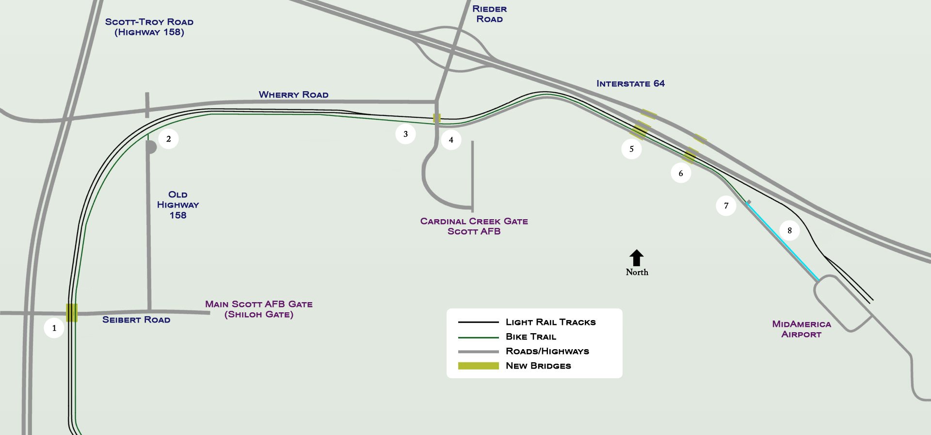
- Seibert Road trail/light rail bridges (currently no trail access from Seibert Road at this location)
- Old Highway 158 trail access.
- Summit/highest elevation on new trail extension.
- Rieder Road at-grade crossing.
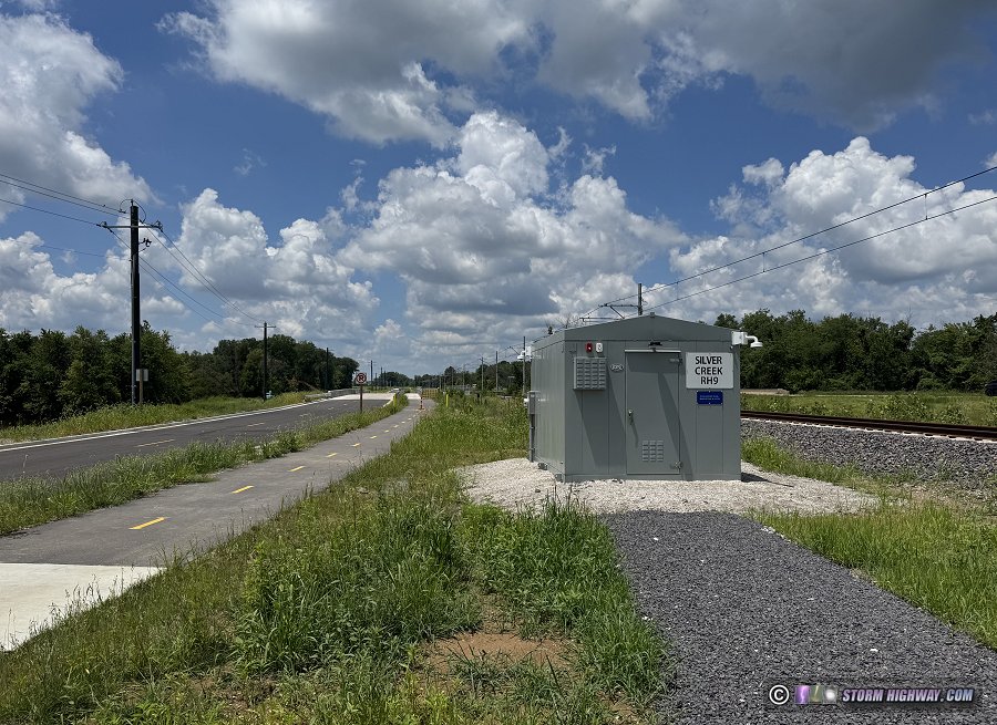
- Silver Creek west channel bridges.
- Silver Creek east channel bridges
- Gravel parking lot and current eastern terminus of trail.
- Yet-to-be-built final segment of trail (estimated opening in 2027).
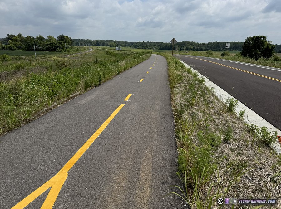 Looking east toward Silver Creek from Rieder Road: Metrolink tracks (left), MetroBikeLink Trail (center), frontage road (right). Looking east toward Silver Creek from Rieder Road: Metrolink tracks (left), MetroBikeLink Trail (center), frontage road (right).
I also wanted to pass on some photos and details for commuters and long-distance riders that I hadn't seen reported previously.
The trail's eastern terminus is nearly a mile short of MidAmerica Airport, but still allows bicycle commuting.
It was reported in news media that the trail ended at a gravel lot 0.8 miles short of the airport. While this is true, it is inconsequential: the trail and its parking lot is immediately adjacent to the bike-safe, 30mph-speed limit Airport Boulevard. Only a short 4-foot ride (or walk) across gravel is necessary to reach the road, which allows riders to reach Highway 4.
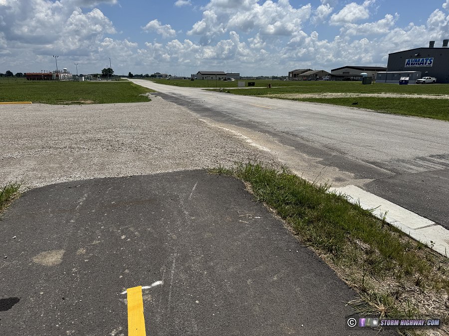
Long-distance riders and commuters only need to navigate this short gravel patch to cross over from the end of the trail to the adjacent Airport Boulevard.
The trail will ultimately be extended to the airport parking lot in 2027.
Trail access points are located at Midamerica Airport, Rieder Road and Old Highway 158.
Bicycle commuters can enter or exit the trail from the Airport, Rieder Road or at Old Highway 158. The Old Highway 158 trail entrance is on the south side of the Metrolink tracks at a cul-de-sac where Old 158 dead-ends at the light rail tracks. Old Highway 158 extends south of the access point to Seibert Road. Scott AFB commuters coming from the east would leave the trail at Rieder Road to access the Cardinal Creek Gate, and those using the base's main (Shiloh) gate would exit the trail at Old Highway 158 to reach Seibert Road.
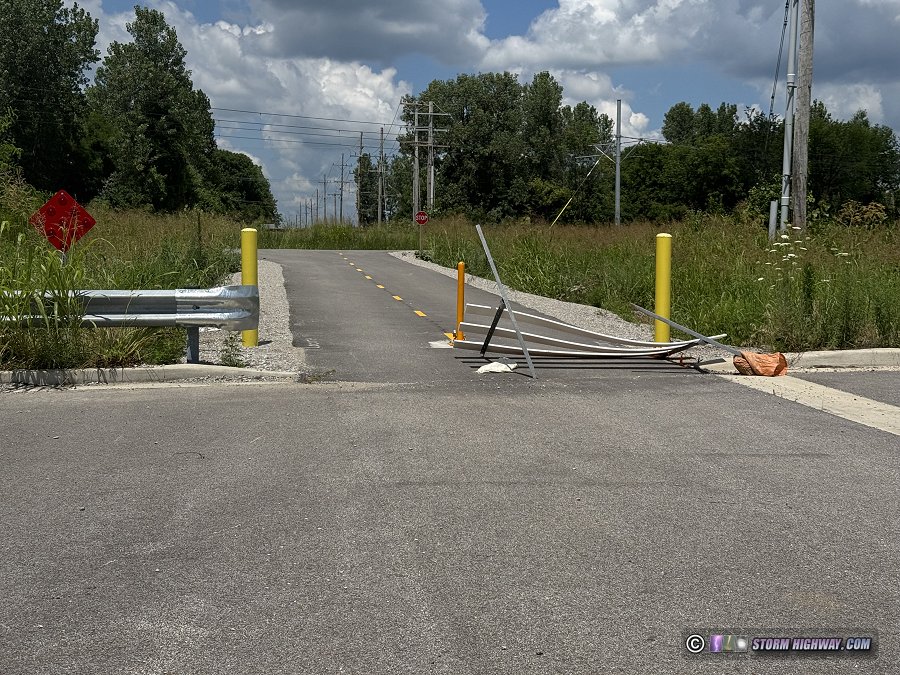
Trail access at Old Highway 158
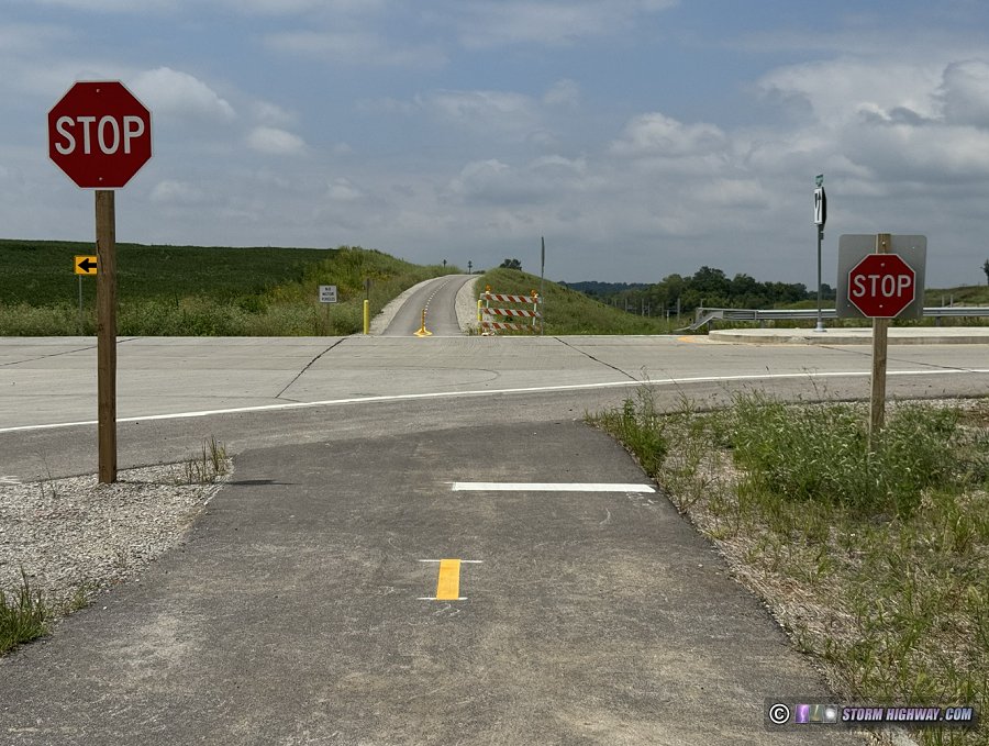 Trail intersection with Rieder Road. Trail intersection with Rieder Road.
There is a small gravel parking lot at the airport end of the trail. There is not yet a parking lot at Rieder Road or Old Highway 158. The cul-de-sac at the Old Highway 158 access is large enough for a small parking lot, but no lines have been painted and it isn't clear if parking here will be allowed.
There is currently no trail access at Seibert Road.
There is currently no trail access from where the trail and light rail tracks cross over Seibert Road on new bridges. A connecting path on the south side of Seibert Road was used during the trail's construction, but it was not maintained and is now overgrown.
South of Old Highway 158, the next trail access currently open is at the Shiloh/Scott Metrolink station. Commuters going to Scott AFB from O'Fallon, Lebanon or from the east need to use Old Highway 158 to reach the main gate (View route).
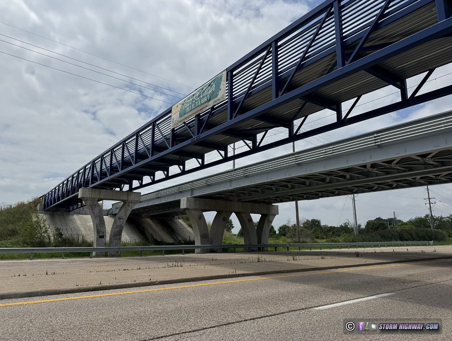 Fig. 12: MetroBikeLink Trail and Metrolink light rail bridges over Seibert Road. Fig. 12: MetroBikeLink Trail and Metrolink light rail bridges over Seibert Road.
Concrete barriers separate the trail from the frontage road on the Silver Creek bridges.
A grassy median separates the trail from the new frontage road between the airport and Rieder Road. The two bridges across Silver Creek carry both the frontage road and the trail, but the two paths are separated with concrete barriers.
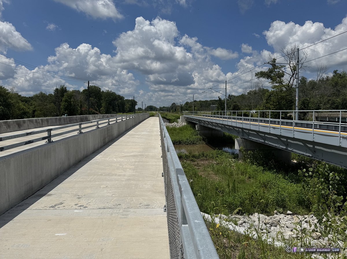
Silver Creek west channel bridges: frontage road (left) and trail (center), light rail (right)
This is the photo I took from I-64 in 2020 of this scene before construction began:
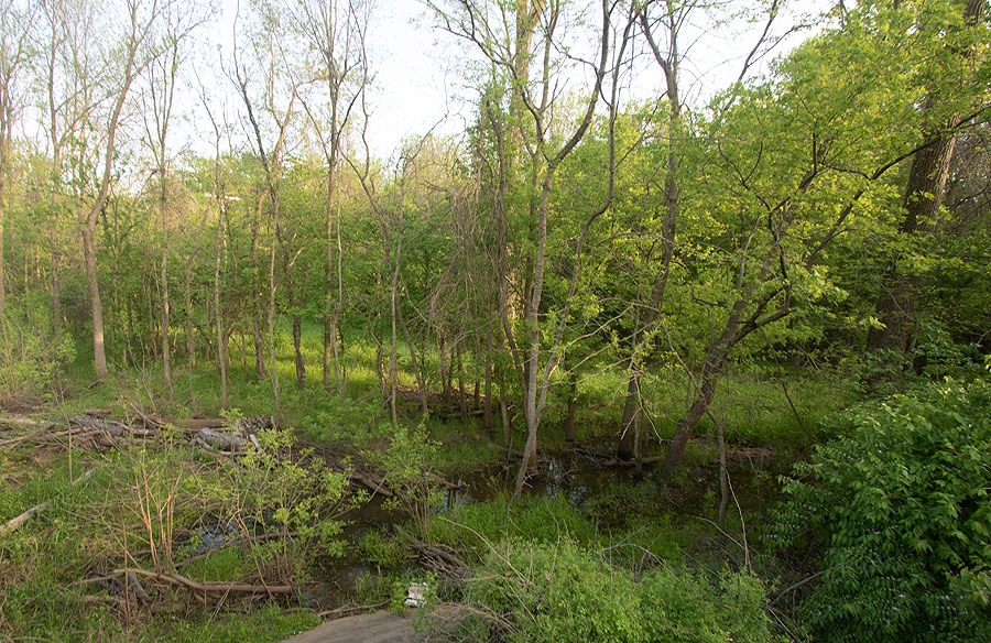
There are slight grades (hills) on the trail.
There are several mild gradients on the new trail extension. The highest hill peaks just west of Rieder Road. Another peak is encountered where the trail and Metrolink tracks rise up to cross over Seibert Road.
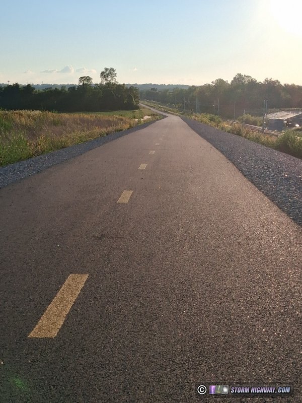
View looking west from the summit of the highest hill on the trail extension, just west of Rieder Road.
The Illinois Highway 4 transit presents moderate but workable challenges for commuters and long-distance riders.
While IL Highway 4 has adequate shoulders for cyclists, this high-traffic, high speed road remains the sole difficulty for cyclists commuting or long-distance riding east of Silver Creek.
Bicycles coming from the airport will trigger the loop detector sensor for the green light at Airport Boulevard and Highway 4, so cyclists should use the center of the left turn lane at this location:
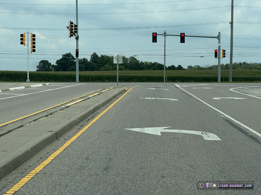
Bicycles will trigger the left turn lane signal loop detectors at Highway 4 and Airport Boulevard.
The Highway 4 shoulders north and south of this spot are narrow but wide enough for a two-wheeled bike. The shoulders widen significantly in the vicinity of the I-64 interchange.
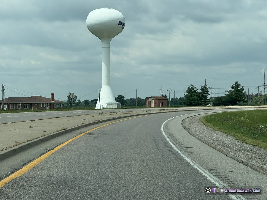
Highway 4 shoulder width.
For riders traveling to the north of Interstate 64, the crossing of the I-64 ramps is the most technical portion of the ride. There are no crosswalks or pedestrian signals either at the I-64 ramps or at the unsignalled Perrin Road intersection. Despite this, the road's shoulders are very wide here with plenty of room for cyclists. I find it easiest to stop prior to the on-ramp crossings and wait for a large enough gap before attempting to cross. The signalled eastbound ramps are easiest to cross.
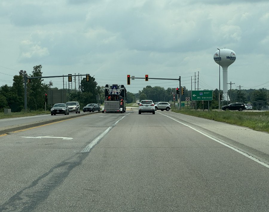
I-64 eastbound ramps (southbound on Highway 4).
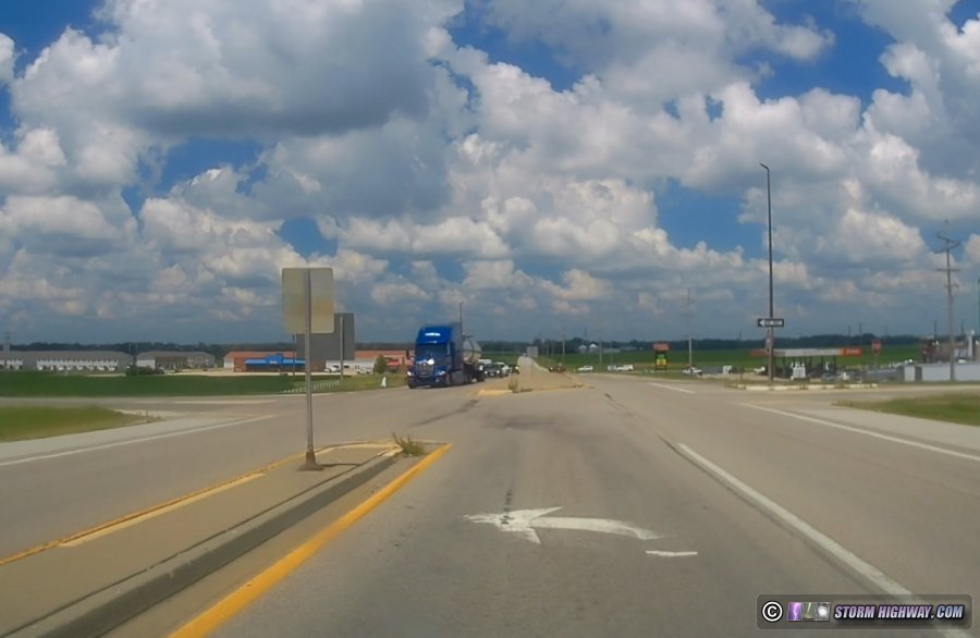
I-64 westbound ramps (northbound on Highway 4).
The busy Pilot truck stop on Perrin Road is also an area where riders need to be on high alert. While traffic entering and leaving the truck stop is moving slowly, the sharp turns necessary for tractor-trailers introduces blind spots for them.
For riders coming from the south (Mascoutah), the main difficulty is traversing the Highway 161/Highway 4 interchange. There are not yet any pedestrian/bicycle signals or crosswalks at this intersection, which makes crossing either of these high-speed roads particularly risky.
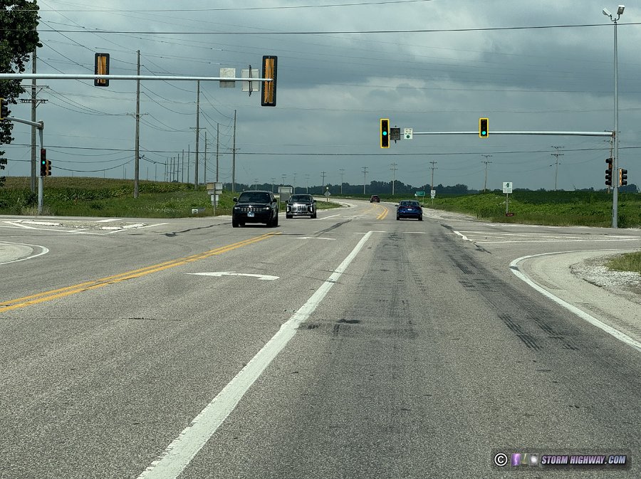
Highway 161 intersection (northbound on Highway 4 toward Mascoutah).
A bicycle corridor from Lebanon to Mascoutah along Highway 4 has been officially recognized as a need and is in the early research stages, so this area may eventually have better options in the years to come. In the meantime, adding pedestrian signals at Highway 161 and at the I-64 ramps would be the simplest and cheapest ways to improve cyclist safety in the short term.
Conclusions
Despite the Highway 4 segment challenges, the new trail extension more than adequately solves the longtime problem of the Silver Creek crossing for St. Louis Metro-east cyclists. The trail itself is wide and the gradients are gentle. For the first time ever, cyclists from Lebanon, New Baden, Mascoutah, Trenton, Summerfield and beyond now have a bike-safe route nearly the entire way into St. Louis. For cross-country riders, the new long-distance routes that this connection opens up are significant. I've already started using this trail to commute to work, and will be using it often.
Madison and St. Clair counties have one of the best bike trail networks in the country, and this extension will be yet another feather in the cap for this region's stellar bike-friendly reputation.
GO: Home | Storm Chase Logs | Photography | Extreme Weather Library | Stock Footage | Blog
Featured Weather Library Article:
|