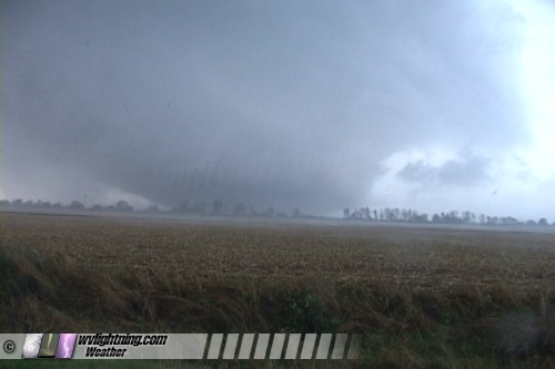
EXPEDITION VIDEO: Huge F4 'wedge' tornado hits Crosstown, Missouri: Watch video MURPHYSBORO, IL CHASE REPORT - Tom Mullins and I witnessed a wedge tornado on Highway 3 in southern Illinois on Friday, as it crossed the Mississippi River about 15 miles west of the town of Murphysboro and less than 4 miles from Crosstown, Missouri. We estimated our closest approach to the tornado and its subsequent crossing of Illinois Highway 3 in front of us was less than a mile. As the tornado crossed the road in front of us, a shower of various debris rained down around us, including large strips of sheet metal, small branches and small bits of plywood. Twigs and small branches with leaves landed on us, and shredded leaves clung to our windshield. We first viewed the tornado from due north. After damage surveys, this tornado has been rated F4 by the National Weather Service - the strongest tornado to strike the region in the month of September. We began the day in Evansville, Indiana after a stopover from our late-night Charleston, WV departure on Thursday. We chose St. Louis as the initial setup-and-wait location, due to the selection of interstate road options in nearly every direction. The target was unclear, as persistent overcast and light rain showers plagued most of eastern Missouri and western Illinois. Central and western Missouri was seeing some sunlight. The south-central half of the state, particularly along and south of I-44, looked to be the best area as far as the atmosphere was concerned. But, the terrain and road network there is very unchaseable, so we hesitated in heading that way. We started in St. Charles, and perused radar and data to finalize our target. We saw the first storms go up near Springfield and quickly go tornado warned. On their initial chased trajectories, it appeared that the storms would cross I-70 northwest of St. Louis. But, suspecting that they would turn right as they organized, we felt that the storms would eventually go south of St. Louis - so we decided to position ourselves south of STL. We chose to cross to the Illinois side of the river where the roads and land were a little easier to navigate. This also eliminated the river crossing problem. We planned to move south down Highway 3 to intercept storms as they came across the Mississippi. The I-44 storms evolved into a string of three distinct supercells, the northernmost one on a course for Red Bud, Illinois. We noted the southernmost storm, crossing between Farmington and Fredericktown, MO at the time, looked like the optimal choice, but we didn't feel that we could make it far enough south in time to beat the storm on the 2-lane, small-town-riddled Highway 3. School had let out, frequently-stopping buses abounded and the roads were wet, so it was slow going. So, we chose to stop in Red Bud to wait for the northernmost cell. On radar, we watched as the second (middle) cell in eventually was swallowed by the southern storm. I was getting nervous about our northern storm's close proximity to the now-massive cell to its south. The northern storm soon lost its rotation markers on WxWorx and did not regain them after several minutes, which further eroded my confidence in it. We noted that there was still a healthy distance between our storm and the southern storm, indicating the possibility of a upturn in intensity. Furthermore, there was the issue of terrain, trees and slow travel to catch the southern storm - valid concerns that made a few other storm chasers opt to remain with the northern cell. But, after two more radar updates, the northern storm was still struggling and the southern storm maintained a strong circulation and radar presentation. I then decided that I would try to make the southern cell. Highway 3 curved from a southerly direction to east-southeasterly direction, giving us an increasingly parallel approach to the storm that would eventually merge perfectly with the track of the meso. The easterly component of the road would also help us stay ahead of the storm. The trip down Highway 3 was not as bad as we had thought. Traffic was light, the speed limit a swift and generous 55-60mph, and through a miracle we did not encounter slow vehicles. Nonetheless, we entered heavy precip several miles south of Chester. This created some hydroplaning issues in a few spots that forced us to slow down significantly. By Chester, the forward flank of the storm was well over us, and it appeared we would get engulfed by the core as we continued south. Heavy rain was at white-out intensity and visibility was near zero. Near Rockwood, we heard the first few pelts of hail which grew steadily bigger, the largest being possibly nickel-sized. But after only a few minutes, the sky became brighter and the rain began to taper. I could now see CGs several miles ahead of us. We were finally breaking through. During the majority of our trip south on 3, we were in a jungle of trees and hills. After we broke through the rain, I began to see the sharp outline of a rain-free base to our due south. Straining to see what was on the right side of this feature, I could barely make out a massive lowering from what I could see above the treeline - and knew we were in business. We rounded a curve, dropped down a slight grade to a wide-open flat area with fields off to our right, and all at once the entire thing came into our view for the first time:
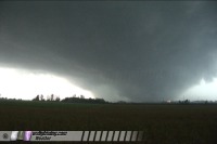 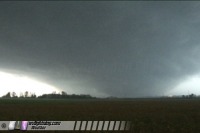 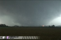 No question about it now. The tornado is in Missouri and is about to cross the Mississippi River at this point, around the Crosstown/Menfro, MO area. Official damage surveys indicate that the tornado was producing F4 damage at this point. We stopped to shoot video until the precip caught up to us, and continued east, moving ahead of the rain two or three times:
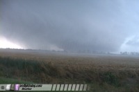 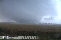 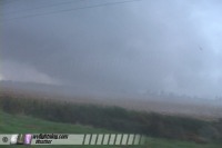 At this time the tornado has crossed the river and is now in Illinois. I managed one blurry still with the digital camera:
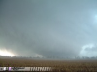 The tornado was moving right-to-left fairly quickly, indicating that we were in a safe position to keep moving east. At first our winds were westerly, but as we neared the tornado our winds turned due north and increased. Several times we experienced very strong northerly winds (the tornado was south of us). As we moved east, the tornado was getting closer and closer to the road:
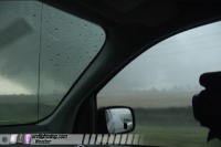 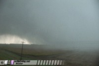 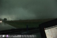 Finally, the rain engulfed us completely, and the tornado was lost in the precip to our southeast. I inched eastward as the wind gradually shifted from north to west, indicating that the tornado was passing directly in front of us. At this time, a shower of various debris began raining down around the car. Large strips of sheet metal, small branches and small bits of plywood landed very close to the car. Twigs and small branches with leaves landed on us, and pieces of shredded leaves clung to our windshield.
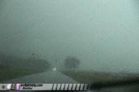 We continued on for less than a mile before encountering the first damage where the tornado crossed the road - snapped trees, downed power lines and debris on the road. Damage appeared to be in the F1-F2 range, with mainly trees and power lines being affected. Two homes had minor roof damage.
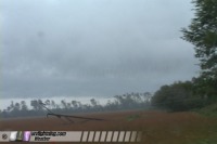 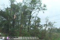 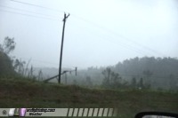 We continued east to Murphysboro, immediately encountering a stream of police and EMS vehicles heading west. We intended to turn north and meet the meso again crossing the north-south highway. But, the 50+mph storm motions made it impossible to keep up. The storm was visibly rapidly moving away from us at Murphysboro, so we decided to call off the chase. After returning to the damage path for some quick shots, we ended the day in Carbondale. We were in awe in what we were blessed to have witnessed on a last-minute September chase, in this increasingly-unusual year of 2006. When we began the trip, we prayed for success and safety - and were given both.
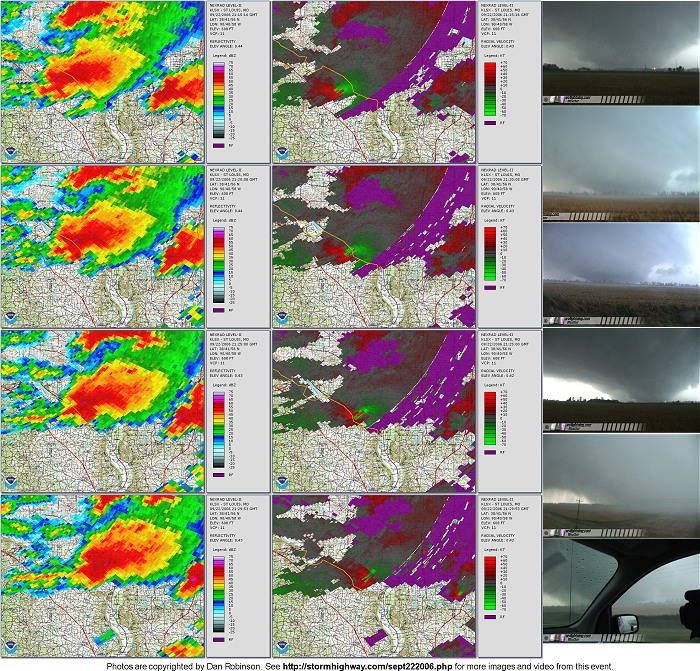
Radar imagery
|
||||||
Web Site Design and Internet Marketing by CIS Internet


