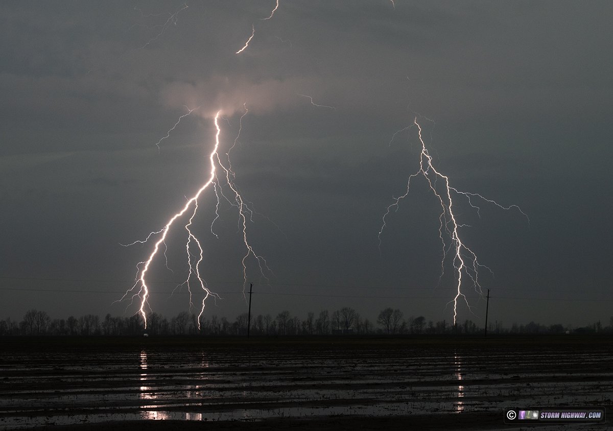
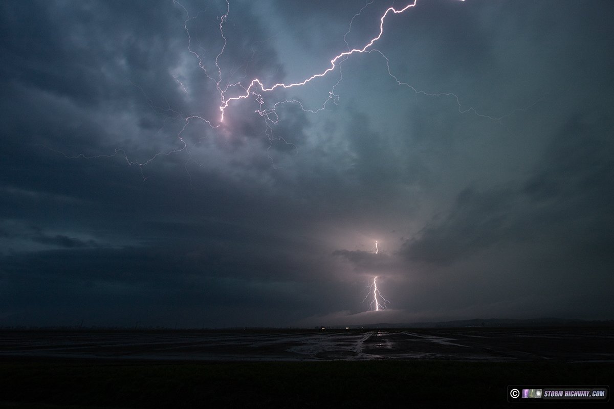
DELTA, MO - A typical story of chase day expectations that go from low to lower to almost-go-home lowest, then ends up in one of the best lightning events in recent years. I started Friday morning with no intention to stray outside of the St. Louis metro area, as elevated supercells were shown by most models to traverse the region through the day. But when I got my first look at the sky outside, low stratus and fog signalled a total shutdown of any lightning shooting. With that option gone, I decided to head down to the warm front which models showed might inch its way toward the Sikeston/Cape Girardeau area by evening. As I drove south, conditions worsened until I was in thick fog in Perryville. I finally exited the fog in Cape Girardeau, with low clouds finally clearing out completely by Scott City. Despite the clear low levels, thick cirrus from storm anvils to the southwest overspread the area, and surface observations showed the warm front was still way down south of Sikeston. Furthermore, there was only one storm headed into intercept range before sunset: a supercell that had just crossed the warm front near Poplar Bluff. It did not latch onto the boundary, continuing north of it into the stable low levels with a corresponding diminishing of tornado potential. I had no other options for a daytime storm, so I was ready to give up and go home at 6pm. I could already see the frequent lightning the Poplar Bluff storm was producing, even at 45 miles away. Models were insistent on storms in this area intensifying at sunset as the low-level jet ramped up, so I figured I'd just wait near the path of the storm and see if the lightning and/or storm structure would be cooperative. I set up and waited between Chaffee and Delta (just southwest of Cape Girardeau). It did not take long for bolts to become photo-worthy as twilight began. Negative cloud-to-ground flashes were occurring at a rate of several per minute, many of them ahead of the rain into clear air. I started with the 50mm lens shooting 1-second exposures to the southwest:
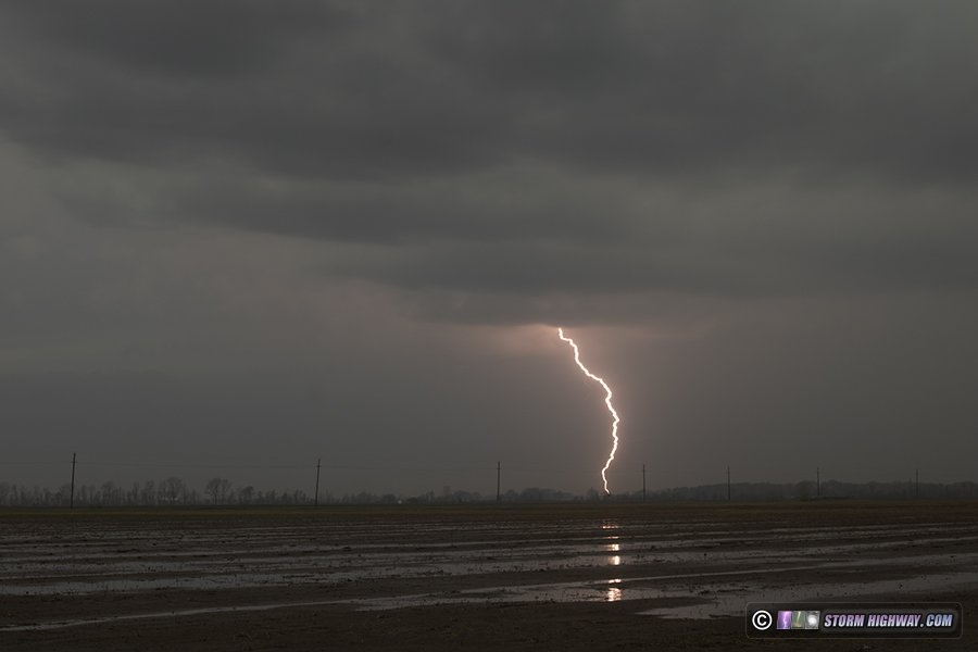
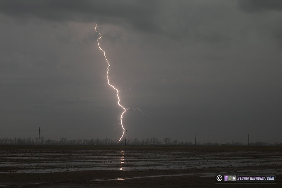
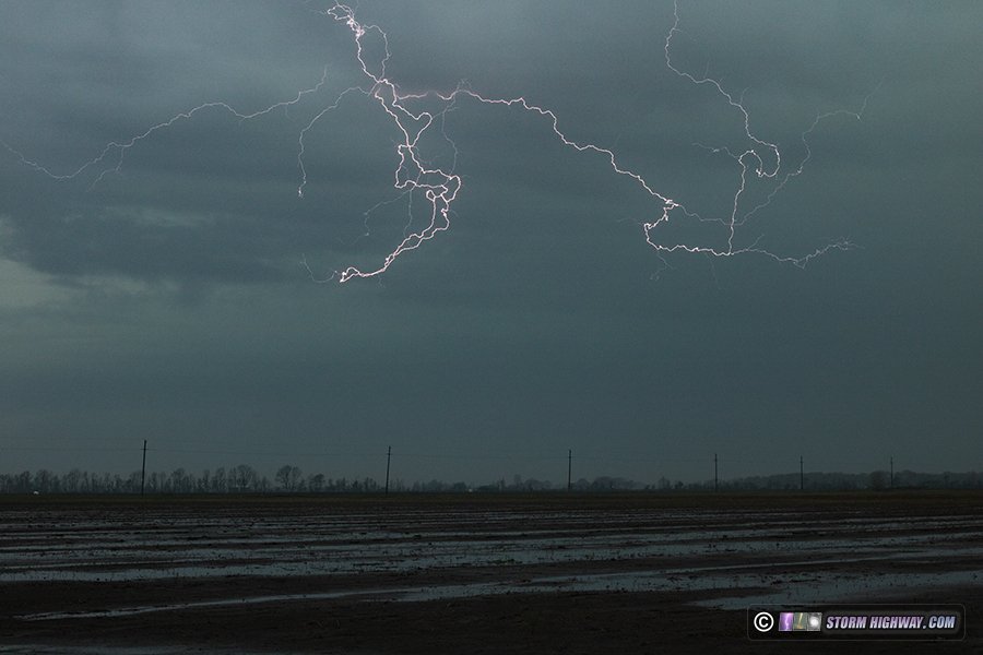
 Occasionally, an interesting cloud flash with negative leaders below the base would appear:
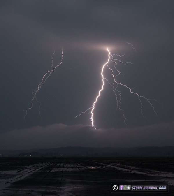
 As the light continued to fade, the bolts got closer and crisper. This one behind the arcus along the supercell's forward flank gust front:
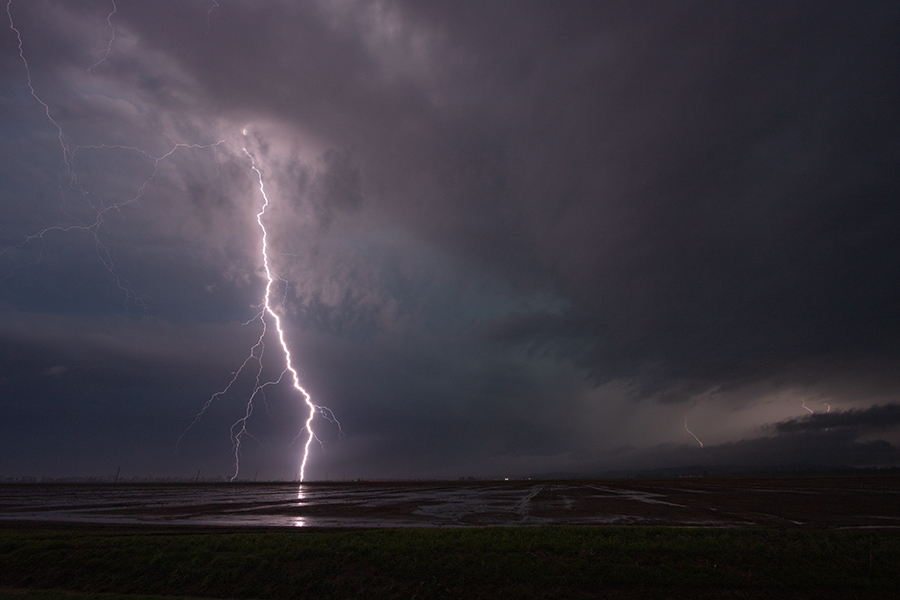
 Finally the bolts crossed the ridgeline, ahead of the arcus cloud, and entered the floodplain. This flash had two ground connections on the ridgeline:
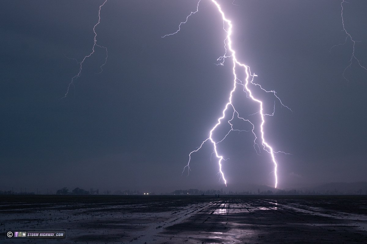 Closer crop of the impact points:
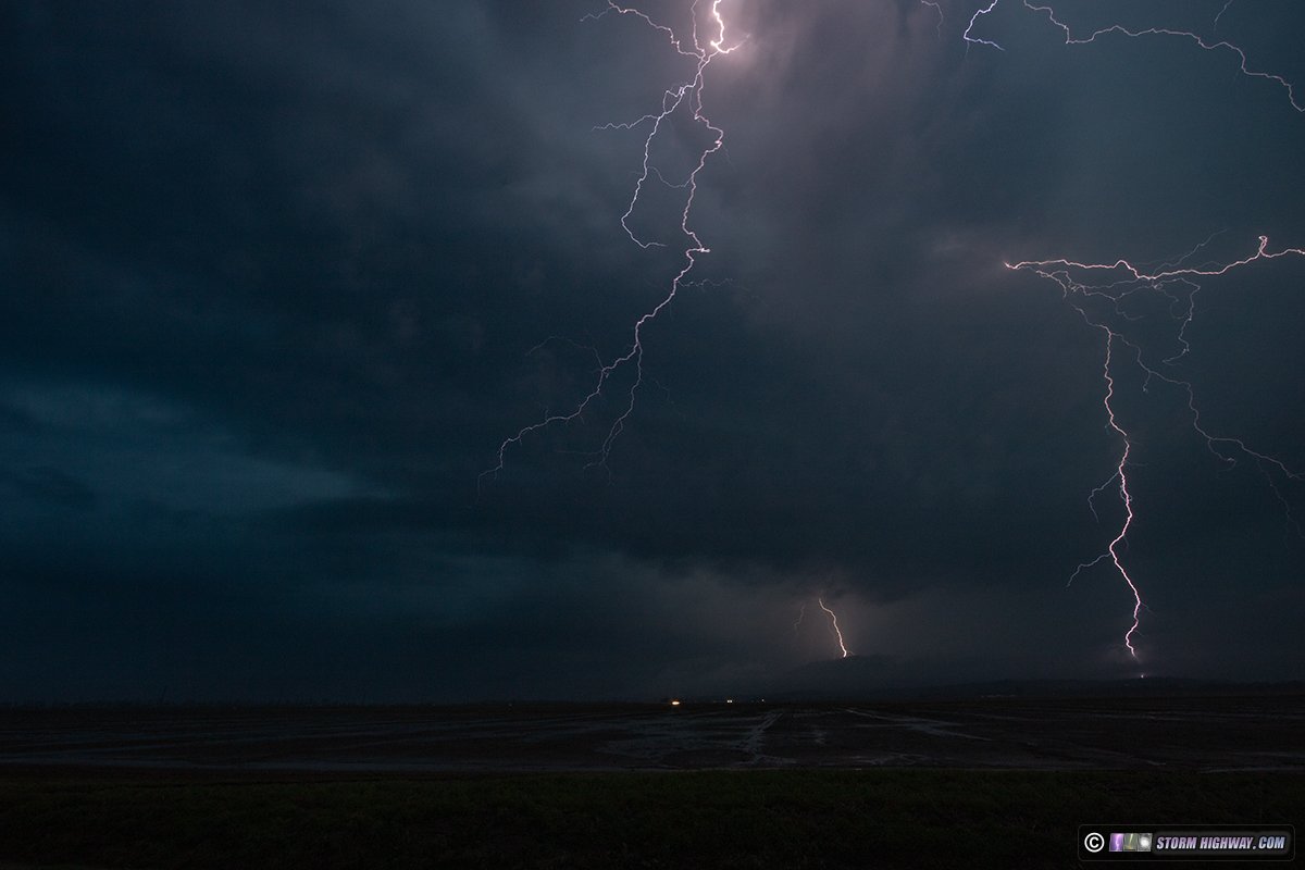
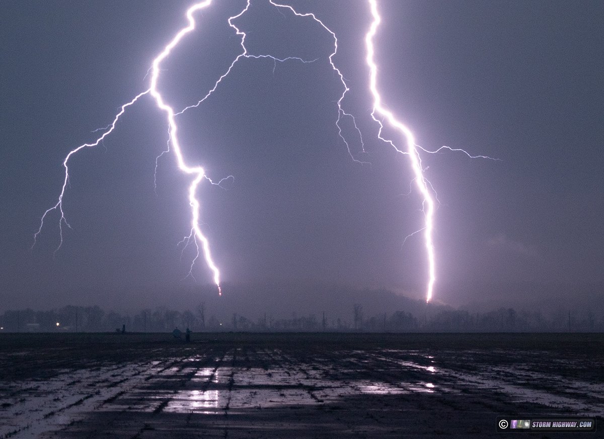 As the bolts got closer, I switched to the 10-22mm lens at full wide (10mm):
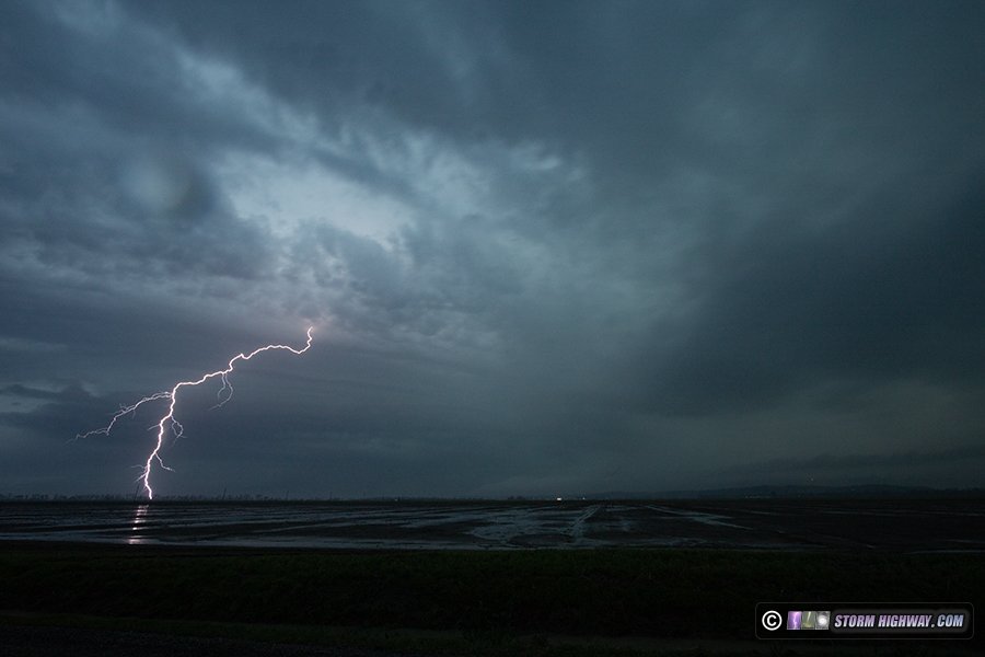
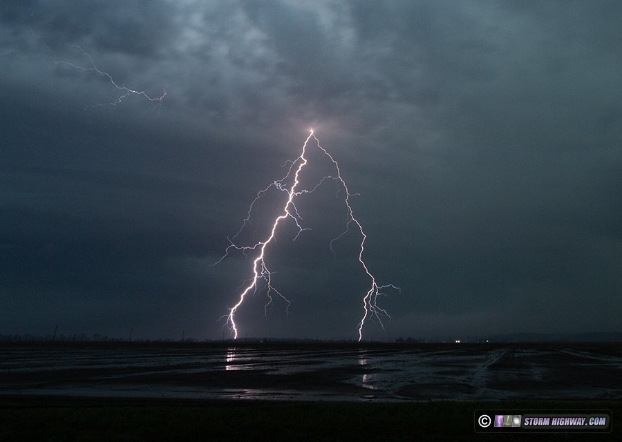
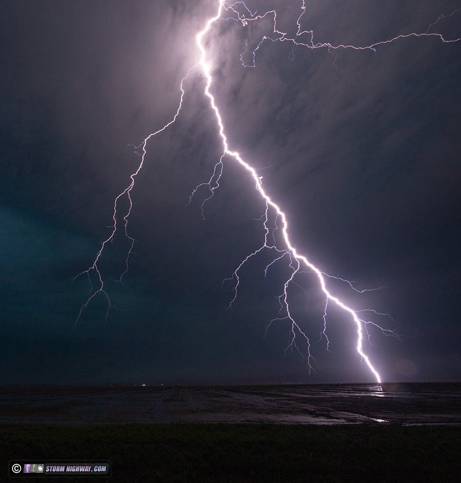
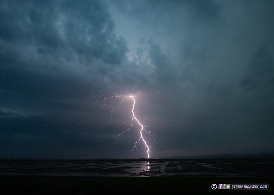 This is one of my favorite lightning captures, possibly one of my *all-time* favorites! It's a close bolt that landed less than 1/2 mile *behind* me. The leaders exited the cloud, coming straight for me - giving a rare perspective of a bolt and its branches coming right at you:
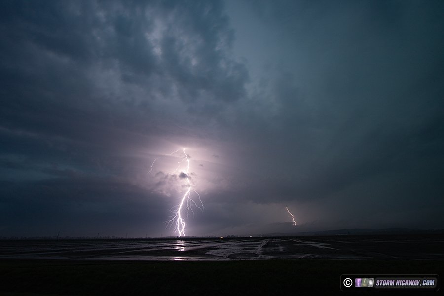
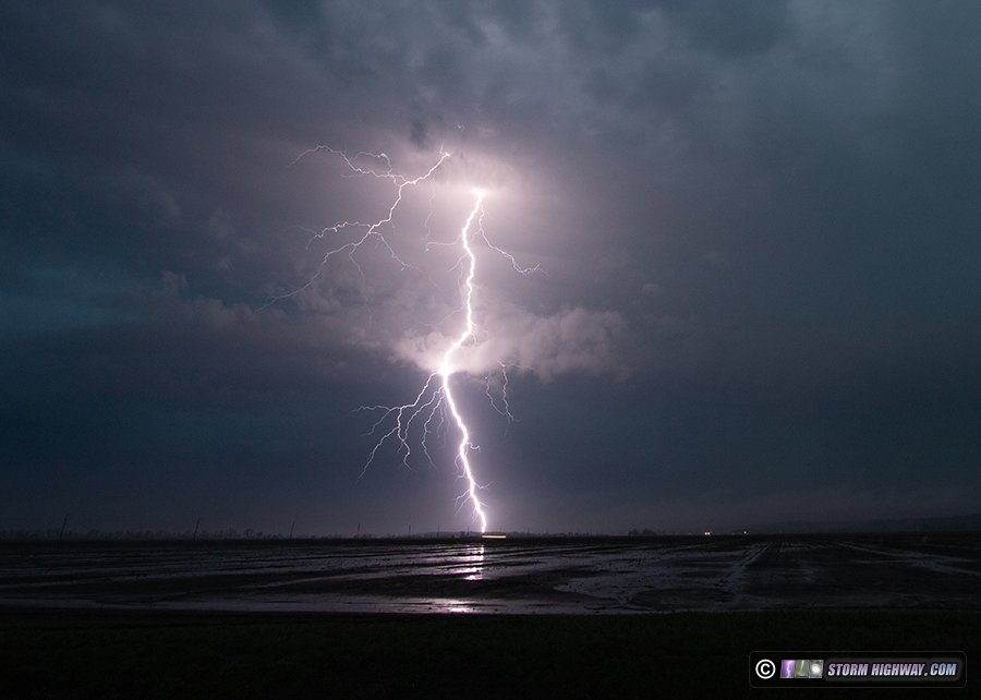 Many of the bolts were coming down at a steep angle:
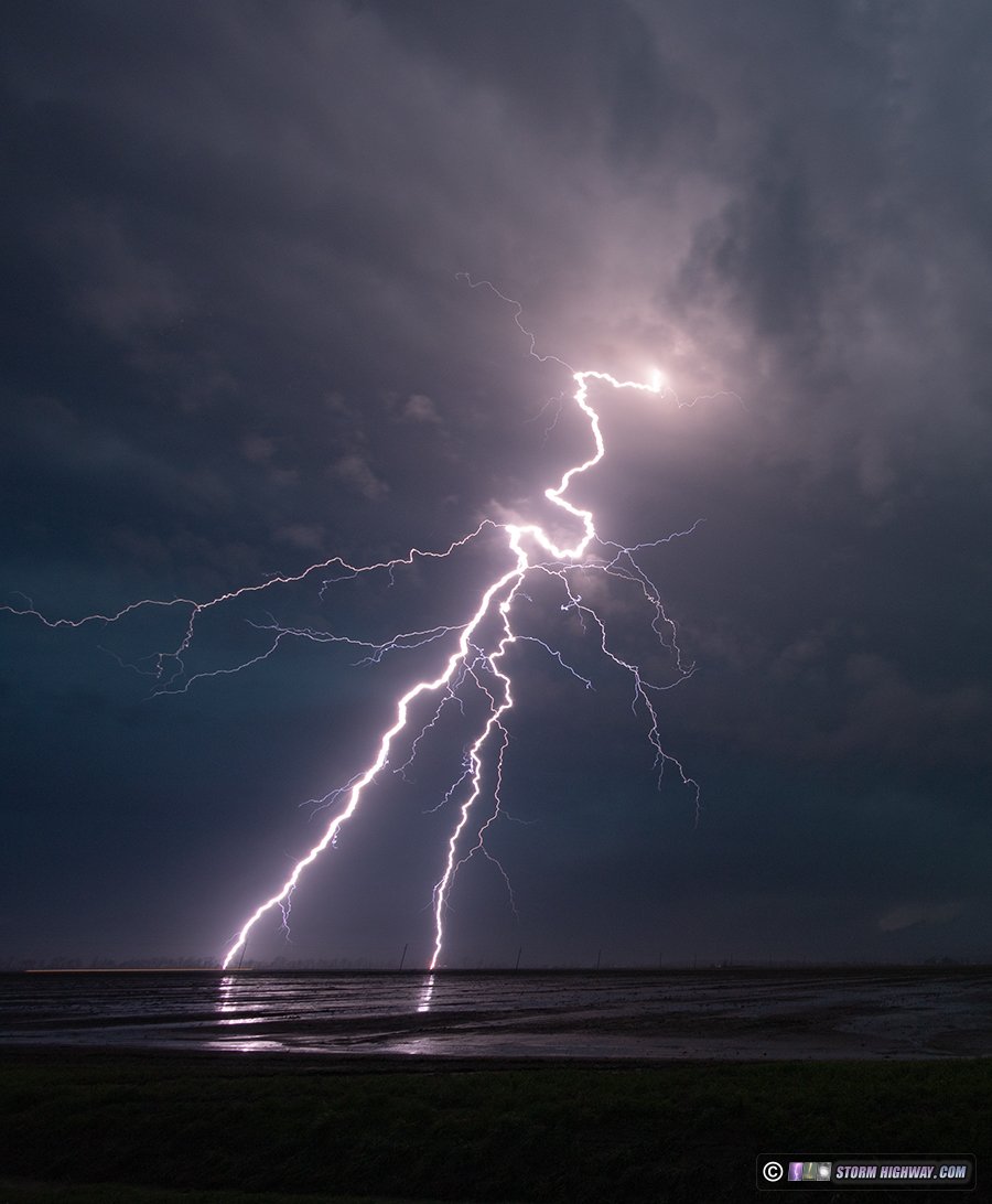 Another bolt that exited the cloud base ahead of me and landed behind me:
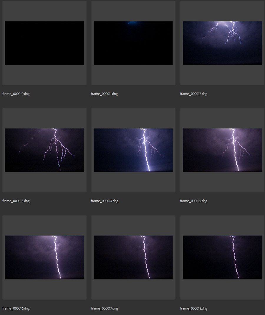 The closest bolt captured:
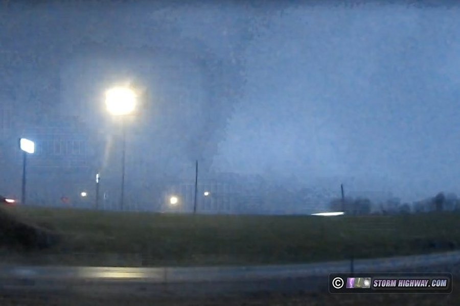
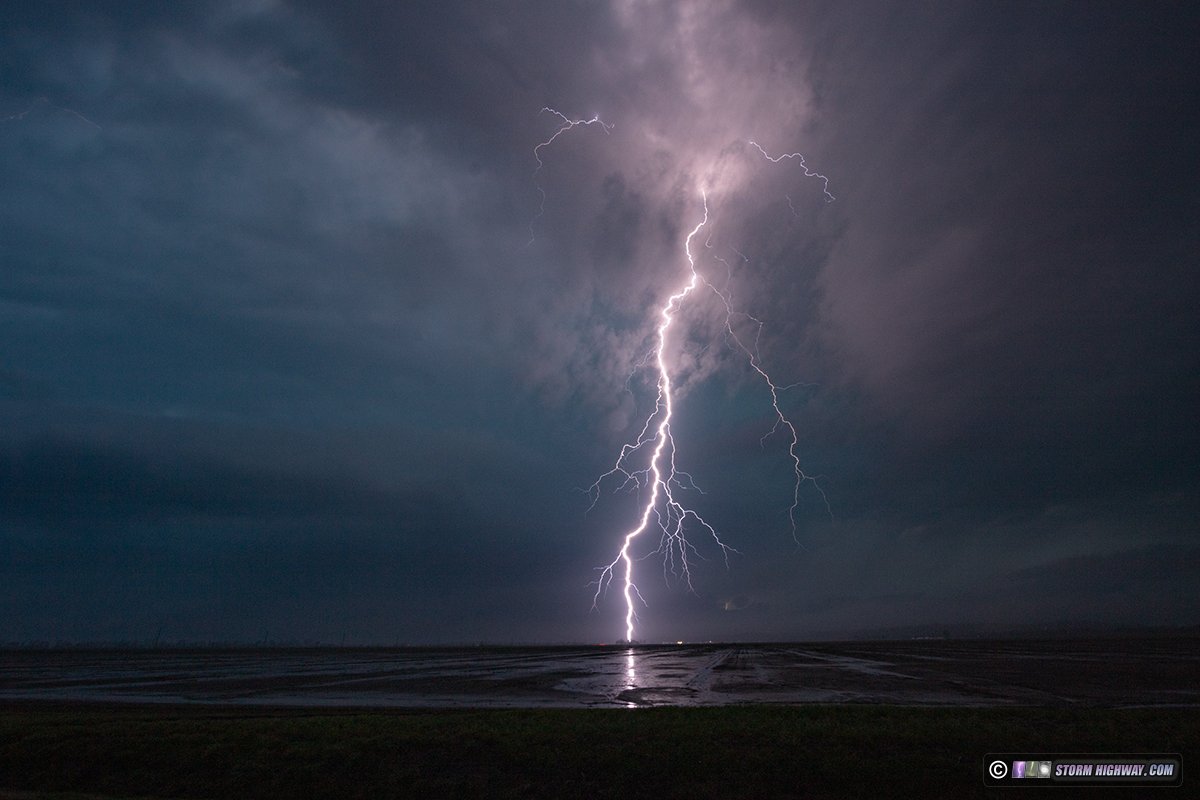 The storm was now developing a strong-looking RFD surge and circulation, so I wanted to stay with that. Not 30 seconds after I took down the DSLR, the closest bolt of the night struck less than 1/4 mile to the west of me, right in the middle of the frame that I'd been shooting. The side dash cam captured this two-ground-connection flash, but what a shot it would have been on the DSLR! I won't complain too much, as this was an incredible storm with many cooperative bolts. I only see a storm like this once every year or two. I made my way back to I-55 to intercept the storm's circulation at the north/west end of the surging RFD gust front. I was having a hard time seeing any cloud features due to the storm entraining a lot of the low scud/fog remnants from earlier in the day. The low clouds were really racing westward into the mesocyclone. I was right next to the MODOT camera at Highway K in Cape Girardeau when it captured the viral picture of a supposed tornado to the northwest. I reviewed my front and side dash cameras, but I did not see anything that I found convincing. This feature here was only visible in one lightning flash, and some of this could be a raindrop distorting cloud material to make it shaped like a rope tornado. I think this is likely what was happening with the MODOT camera also, as this type of elevated storm would likely not produce such a highly-visible tornado. I'll await damage surveys to say for sure, but as of now I'm not counting it as a tornado intercept.
 I stayed near Jackson attempting some more high speed shots, then made my way home, arriving before midnight.
GO: Home | Storm Chase Logs | Photography | Extreme Weather Library | Stock Footage | Blog
Featured Weather Library Article:
|
|||||||||||||||||||||
Web Site Design and Internet Marketing by CIS Internet


