 April Showers 2003: Charleston and Teays Valley, WV, - April 4 & 5, 2003 - 4:00PM to 6:30PM & 4:30AM April Showers 2003: Charleston and Teays Valley, WV, - April 4 & 5, 2003 - 4:00PM to 6:30PM & 4:30AM
A strong cold front moving toward West Virginia brought a line of gusty but relatively mild thunderstorms to most of the State. The final round of photogenic lightning moved across Charleston just before dawn on Saturday.
EXPEDITION VIDEO: Lightning over Charleston
After filming the day's afternoon weather in the Charleston area, the chase turned toward a large line of storms approaching from the west. A drive to Xenia, Ohio to meet the strong line saw gusty winds, very heavy rain and moderate lightning as it passed over (first 2 slides at right). After a successful effort to punch back ahead of the storms near Washington Court House, OH, several stops were made to try and catch some lightning action as the line approached. The storms did not cooperate, and a return home to Charleston was opted for.
Several hours after arriving home, the dying line moved across the Charleston area just before sunrise with gusty light rain and a decent display of lightning, ushering in the cold front and a temporary end to the unseasonably warm temperatures.
Frames from Video:
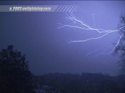
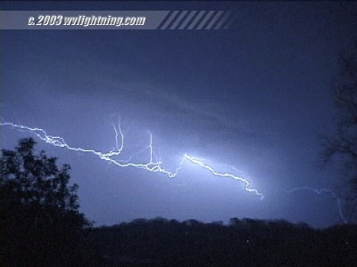
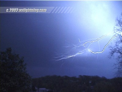
Lightning in Charleston before sunrise on Saturday morning.
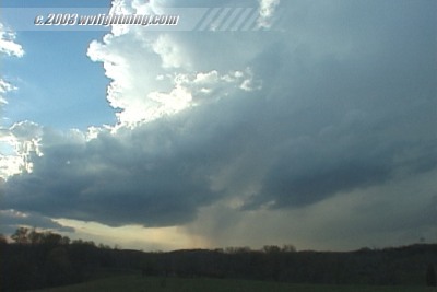
A small thunderstorm moves across the rolling hills of Teays Valley.
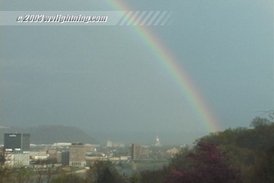
A double rainbow arches over downtown Charleston and the State Capitol.
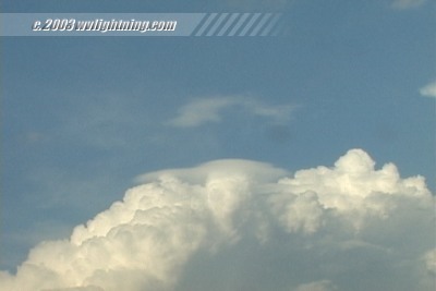
Pileus caps form on growing cumulonimbus clouds north of Charleston.
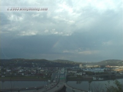
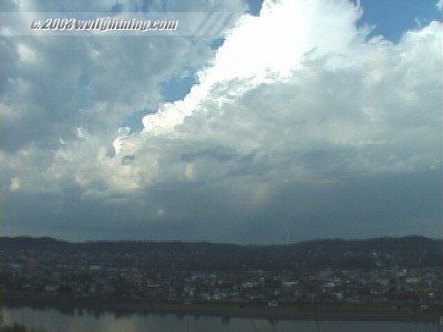
Distant lightning strikes over Charleston.
Digital Video: Sony DCR-TRV900 3CCD MiniDV, 720x480 NTSC
35mm Camera/Lens/Film: Pentax K1000 SLR, 28mm lens, Fuji Sensia 100 slides.
35mm Exposure: 15-30 seconds @ F8 |