|
Home | Blog Index | Blog Archives | Christianity & Faith Essays | Storm Chasing Essays
Southeast VAn chase, mountain snow, flooding, IntoSummer update
Sunday afternoon chase
I left Jes and Rob's place in Newport News around 3:30 in the afternoon, and headed southwest to Franklin, VA to try to get in front of severe thunderstorms moving in from North Carolina. This chase was the first real-world test of the new power/communications console we completed in Raleigh, and it performed flawlessly.
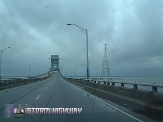
Crossing the James River bridge
The NC storms quickly weakened as they encountered the cooler, sunlight-lacking air north of the state line. I broke off the chase south of Courtland and started heading home. From that point on, I was in constant precipitation (rain or snow) all the way to Beckley, WV.
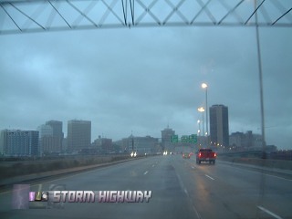
Rain on I-95 in Richmond
Snow in the mountains
The rain changed to snow just past Staunton, VA as I-64 climbed in elevation. The snow increased in intensity on Allegheny mountain, and peaked west of Lewisburg near Dawson, Alta and Sam Black Church. The Pluto road area looked to have received a little over an inch, with snow covering the grass, trees and the roads. Untreated bridges and overpasses were icy from Sam Black Church to Grandview.
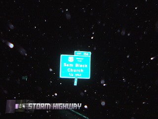
Snow showers on I-64 at Sam Black Church
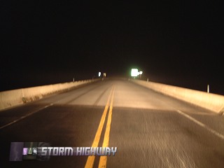
Icy bridge at Dawson
WV flooding event
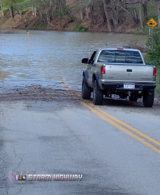
Back in Charleston, I had just missed the peak of some significant flooding in the Logan area and minor flooding all across the region. The Coal River was running high, with backwater flooding reaching all the way to a point on Upper Falls road near Tornado, 2 miles from the river:
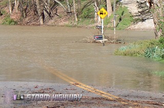
Coal River backwater flooding on Upper Falls Road
The Kanawha was also running high, with Magic Island downtown partially covered.
IntoSummer update
I knew the prolonged deep freezes last week would slow the rate of vegetation greening, but I was surprised how significant the impact was when I arrived back yesterday. The 'greening' seems to have been set back at least 10 days from where it was when I left, with the grass and trees losing color and all flower blooms either gone or browned. This is good for the IntoSummer project, in other words my week-long absence didn't make me miss any critical stages in the filming process. In fact, it looks like I'll need to wait at least a week for the trees to get back to where they were when I left for Raleigh, with the next filming stage not taking place until the very last of the month. This is on par with the original project, which was completed in early May of 2000.
GO: Home | Storm Chase Logs | Photography | Extreme Weather Library | Stock Footage | Blog
Featured Weather Library Article:
|


