|
Home | Blog Index | Blog Archives | Christianity & Faith Essays | Storm Chasing Essays
Two-day Pittsburgh trip, Hurricane Dean
|
My work is, at this very moment you are reading this, generating the most income it ever has in my career. Yet, I was forced to shut down the professional side of my successul operation, against my will, due to one cause alone: 95% of that revenue is being stolen by piracy and copyright infringement. I've lost more than $1 million to copyright infringement in the last 15 years, and it's finally brought an end to my professional storm chasing operation. Do not be misled by the lies of infringers, anti-copyright activists and organized piracy cartels. This page is a detailed, evidenced account of my battle I had to undertake to just barely stay in business, and eventually could not overcome. It's a problem faced by all of my colleagues and most other creators in the field. |
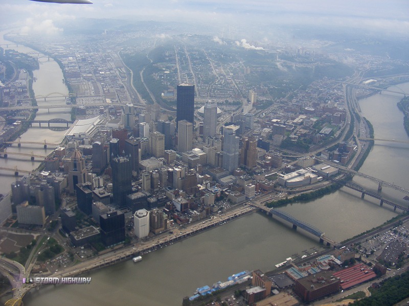
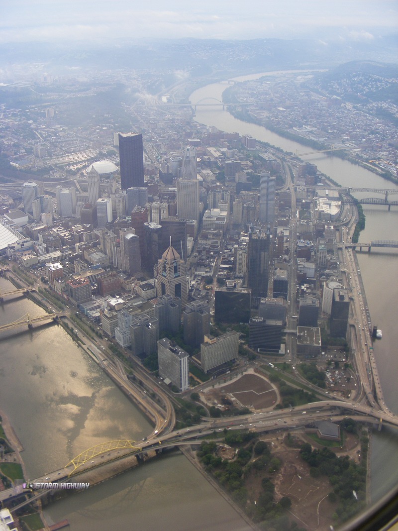
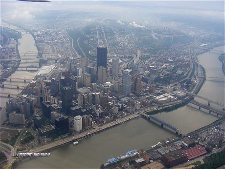
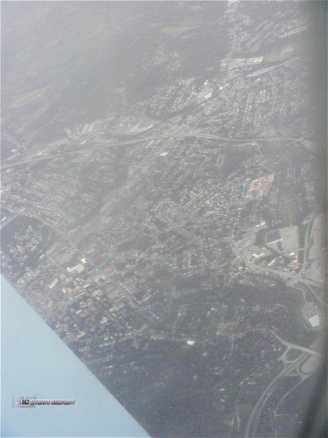
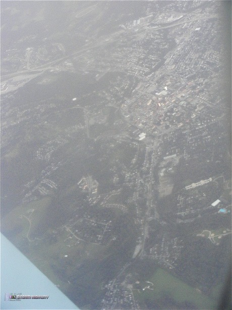
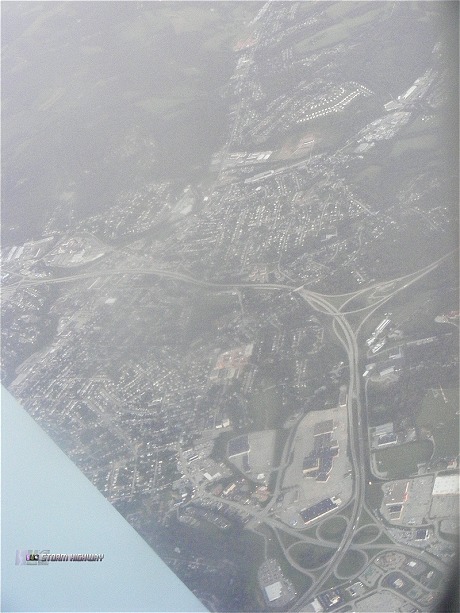
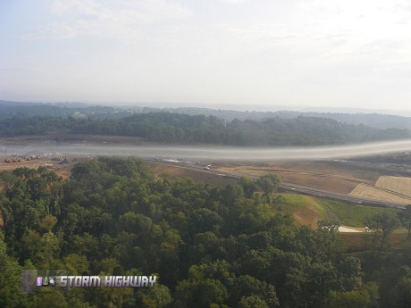
I took a short trip to Washington, PA (a Pittsburgh suburb) for a couple of days for a quick family get-together at my parents' house. I decided to fly from Raleigh, since the fare for early morning flights was going to be about the same cost to drive. The early morning flights allowed for some nice scenes as we flew over downtown Pittsburgh as well as downtown Washington. Haze and dirty airplane windows kept these from being real keepers, but it was still good to be able to get a few of the shots.
Click for larger picture

Click for larger picture
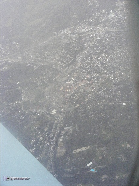
Washington (the house is visible in some of these):
Click for larger picture
Click for larger picture
Click for larger picture
Click for larger picture
Kind of blurry due to the haze and very dirty airplane window, but the house is visible here, across the street from the school (the big white building):
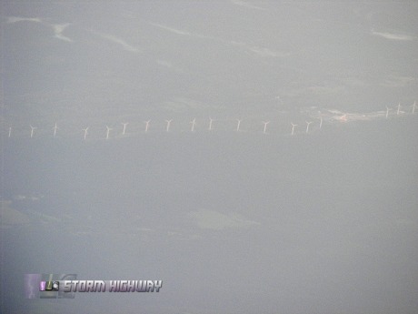
Wind turbine farm on a mountain ridge in northeastern West Virginia:
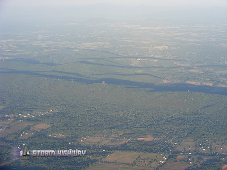
Mountains west of Washington, DC:
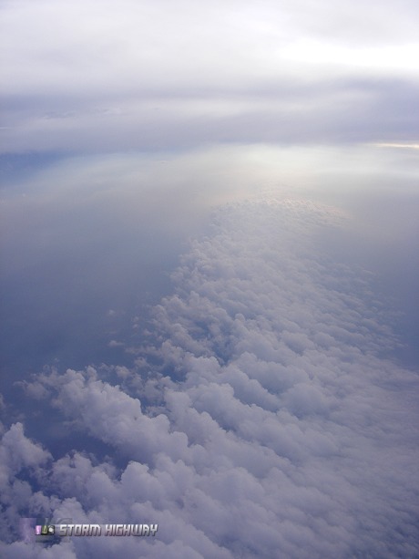
Flying around a dying thunderstorm complex in central WV:
We flew through a small line of showers just before landing in Pittsburgh. Here is a video clip.
Well-defined wingtip vortex while landing at Pittsburgh:
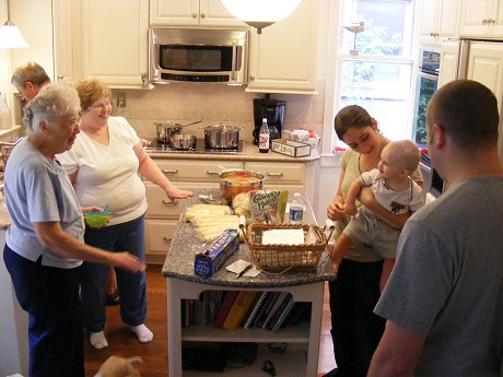
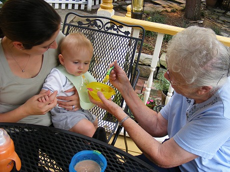
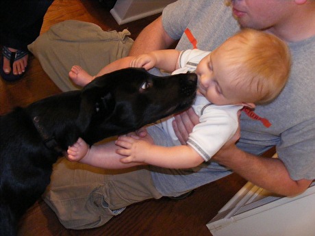
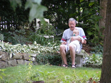
Some family photos (my 8 month old nephew, my sister, brother, mom, dad, grandmother and the dogs):


Hurricane Dean
Keeping this blog on its weather theme, I have to give mention to the current hurricane in the Carribean. Dean didn't take its potential northerly turn toward us here in the Carolinas, but rather is heading due west. Dean is an unusually strong hurricane, expected to reach Category 5 as it crosses Jamaica. The storm's track is then forecast to maintain a general westerly direction across the Yucatan and into Mexico, barely missing a US landfall. As a result, we will be sitting this one out. Another tropical wave is right behind Dean in the Atlantic, also forecast to develop further.
| View 1,462 storm chases: |
| by year: |
|
| by type: |
|
|
|
|
My work is, at this very moment you are reading this, generating the most income it ever has in my career. Yet, I was forced to shut down the professional side of my successul operation, against my will, due to one cause alone: 95% of that revenue is being stolen by piracy and copyright infringement. I've lost more than $1 million to copyright infringement in the last 15 years, and it's finally brought an end to my professional storm chasing operation. Do not be misled by the lies of infringers, anti-copyright activists and organized piracy cartels. This page is a detailed, evidenced account of my battle I had to undertake to just barely stay in business, and eventually could not overcome. It's a problem faced by all of my colleagues and most other creators in the field. |
GO: Home | Storm Chase Logs | Photography | Extreme Weather Library | Stock Footage | Blog
Featured Weather Library Article:
|