|
Home | Blog Index | Blog Archives | Christianity & Faith Essays | Storm Chasing Essays
Surprise mountain snow, trip to Lewisburg
On one of my routine weather checks last night, I noticed that many areas around the state, particularly in the mountains, had dropped well below freezing. At the same time, a cluster of showers in Kentucky was moving in much faster than the models had predicted. This meant frozen precip and icy roads were going to be a threat in the mountains overnight and into the morning. I expected a freezing rain event in Lewisburg, where surface temps were in the high 20s, so that's where I went at 3AM.
As the precip neared, my Baron radar display algorithm showed it as being snow instead of freezing rain - and both the Pineville and Beckley obs confirmed this as the showers passed over them. The snow began in Lewisburg just before 6AM and quickly intensified, covering the roads in just a few minutes. Drivers in this area are very accustomed to the snow, and despite I-64 being mostly covered, I didn't see one accident, not even any telltale 'double helix' tire tracks in the snow from someone spinning out into the median. Quite a nice snow event up there for what was supposed to be an uneventful week, I measured nearly a half inch of new accumulation on top of the area's previous snowpack. Back in Charleston later, temps were at 44F and not a snowflake in sight. I love the convenience of having mountains nearby that can provide a whole different set of weather conditions in just an hour or two's drive from home.
Some photos from this morning:
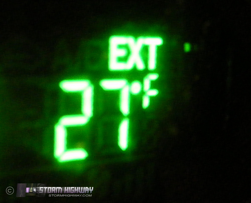
Temperature in Lewisburg at 5AM
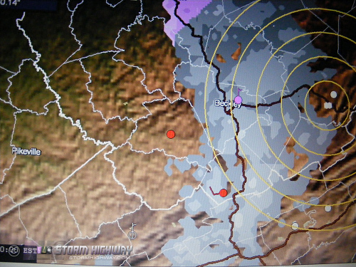
Mobile radar image of snow approaching
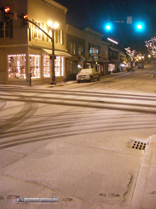
Downtown Lewisburg at 6:30AM
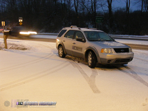
Car gets another winter weather workout
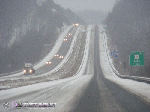
I-64 at Alta. Same story from Lewisburg all the way to Dawson, but no wrecks!
| View 1,609 storm chases: |
| by year: |
|
| by type: |
|
|
|
GO: Home | Storm Chase Logs | Photography | Extreme Weather Library | Stock Footage | Blog
Featured Weather Library Article:
|