|
Home | Blog Index | Blog Archives | Christianity & Faith Essays | Storm Chasing Essays
More ice/snow possible tonight and tomorrow
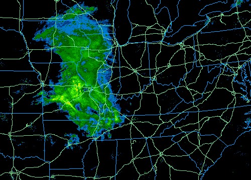
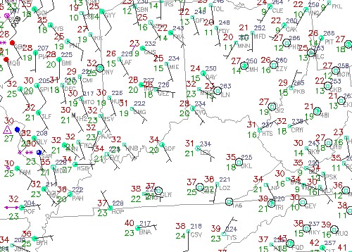
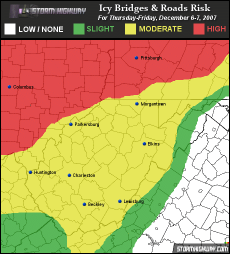
An area of precip is moving in from the west toward West Virginia this afternoon. With temperatures expected to be well below freezing across the area tonight, any precipitation that reaches the ground will be in frozen form. This could mean another night (and morning rush hour tomorrow) of icy roads across the region. Parts of central and southern Ohio are under winter weather advisories, with one to three inches expected. Parts of West Virginia could see a mix of snow, sleet and freezing rain through noon tomorrow. While any accumulations should be light, the roadway impacts could be just as bad as yesterday's storm.

5:45PM EST radar image

5:45PM EST surface data

| View 1,609 storm chases: |
| by year: |
|
| by type: |
|
|
|
GO: Home | Storm Chase Logs | Photography | Extreme Weather Library | Stock Footage | Blog
Featured Weather Library Article:
|