| Home | Blog Index | Blog Archives | Christianity & Faith Essays | Storm Chasing Essays
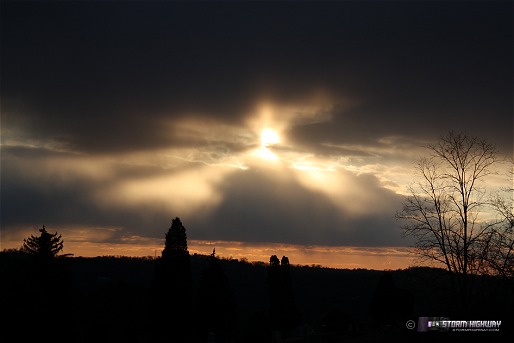
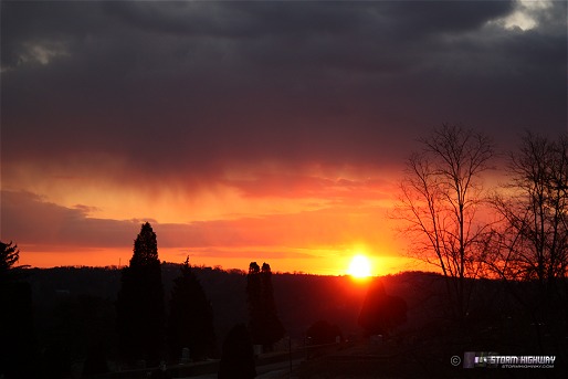
Sunset through snow bands
Thankfully, nothing stuck this afternoon, thanks to intermittent sunlight keeping ground temps up. Sunset was interesting, with rays filtering though the 'snow curtains'.
Click to enlarge
Click to enlarge
Weekend storm/cold outbreak
Models have been consistent with a large trough developing over the eastern US toward the end of the week. Multiple rounds of accumulating snow and very cold temps are possible with this. Hopefully this will be one of the last big winter troughs of 'deep winter', as long-range models are hinting at some moderation of temperatures by the first of March. A nice western trough is also shown for the first days of March, which could bring some storms to us as it moves eastward. Not much longer to go.
|


