|
Home | Blog Index | Blog Archives | Christianity & Faith Essays | Storm Chasing Essays
Raleigh snowstorm update: 10:20PM - Winding down
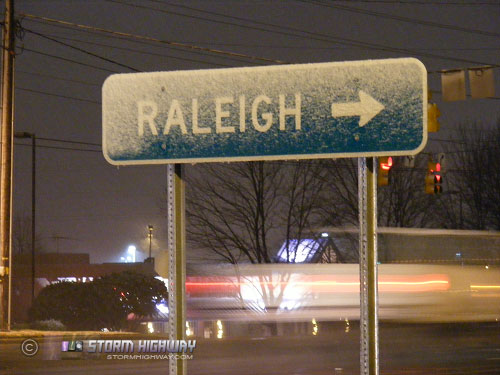
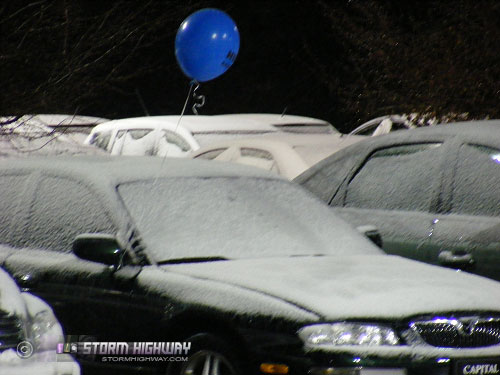
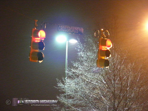
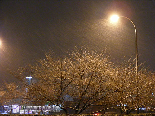
Looks like this event is nearing its end at this time, as the precip shield is quickly moving east and away from the Triangle. Another band of snow to the west looks like it will continue to the northwest, just missing the Raleigh metro. Temperatures have not been able to drop below freezing across the entire region despite the bursts of heavy to moderate snow, which has limited accumulations in Raleigh to roughly a quarter to half an inch - and that only on grass, parked cars and trees.


It remains to be seen if the plummeting temps later tonight will cause problems with residual water on the roads, but in my experience this is usually not much of a problem. Leftover moisture on the roads is typically not thick enough to lead to formation of black ice - which normally needs some type of falling precip to materialize. Salt crews have been out in force today, which will further limit the ice danger later tonight. Nonetheless, I will be keeping an eye on this last remaining hazard of tonight's snow event.
|