| Home | Blog Index | Blog Archives | Christianity & Faith Essays | Storm Chasing Essays
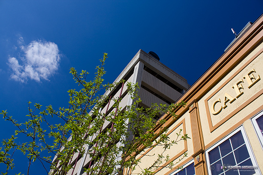
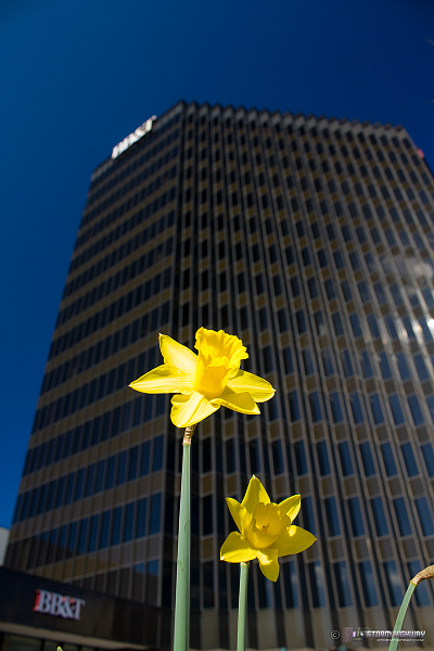
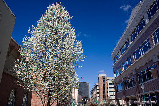
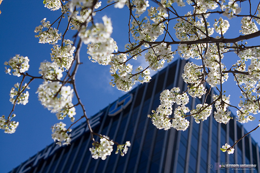
Spring in downtown Charleston
We made it - official spring! Here are some shots from this morning around town. Plenty of trees in full bloom and even some green starting to show up in places. It's a little early for this, granted (due to more 70+ degree March days than normal) but a welcome sign that winter is fading (almost - see my comments after the photos).

click to enlarge

click to enlarge
click to enlarge
click to enlarge
click to enlarge
click to enlarge

click to enlarge
Annoying model behavior
We're in the 8th inning and spring has a commanding lead, but the models want to allow winter to poise for another last-ditch rally. The last few runs of the extended-range GFS and the Euro (ECMWF) have shown a large trough setting up around late next week/next weekend. The 00z GFS run (yesterday evening's) turned it into a monster over the eastern US:
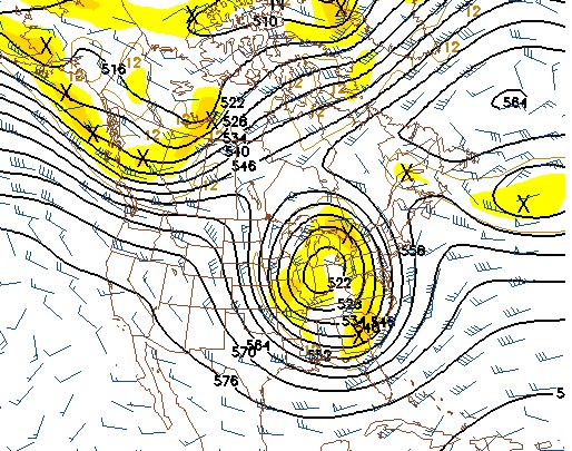
GFS 500mb pattern for March 29
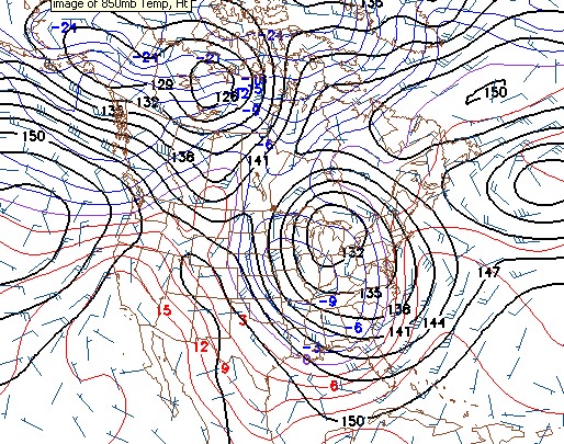
GFS 850mb temps for March 29
Those are some cold mid to low-level temps shown there - along with some precip thrown in the mix, which unfortunately would mean snow. The new 12z runs of the GFS today maintain a huge trough, but keep it farther west. The Euro still shows the trough early on, but moderates it as it moves east. So, I really don't expect this trough to be quite as huge, if it actually comes to pass (remember, we're talking flaky long-range models here) - but this is definitely something I'll have to keep an eye on for the next week. In addition to the snow on the back portion, the leading edge of such a trough would likely feature a significant severe weather outbreak (over 2 or 3 days) as well for the southern, eastern, Plains and possibly midwestern US starting late next week.
Awesome downtown shots, Dan!
- Posted by Tony Laubach from Westminster, CO | |
Thanks Tony! Always great to see this happen every year - a sign that storm season will be ramping up.
- Posted by Dan R. from Charleston, WV | |
|


