|
Home | Blog Index | Blog Archives | Christianity & Faith Essays | Storm Chasing Essays
On the home stretch!
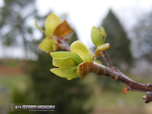
First leaves in Charleston (from this morning)
We're finally starting to see some long strings of 60°F-plus high temps on the models, an annual occurence that gets me out of 'winter mode' and back into the welcomed spring-summer routine. My office windows have already been open a few times in the past week (they will be again today), and it won't be long before I'll have to turn the AC on at the house for the first time this year. The long-sleeved shirts and jackets don't have much time before they are packed away for the season, and I can envision the first escape to the New River Gorge trails happening this week. Outside, trees are blooming and the first hints of green are appearing - and best of all, deeper moisture and thunderstorms are beginning to show up on a fairly regular basis in upcoming forecasts.
In addition to April's characteristic warmup taking place at last, the signals of any cold intrusions at 850mb have been fading every day on the GFS. A huge trough that showed up on one run for the April 12-14 time period has vanished, and other predicted troughs are not bringing much cold air aloft southward. Snow over West Virginia is absent from model progs for at least the next two weeks, and after that, the odds are against any further wintry weather outside of the mountains. Climatology says surface temps should be on a continual climb, fighting away any cold air that would try to invade from above. So, I'm nearly confident in saying that icy road season in Charleston is finally over! We could still see a snow shower or two late in the month if a major trough dives some cold 850s down, but if so, warm boundary layer/ground temps should keep things from sticking. Based on model forecasts and climatology, I'd put the chances of further icy bridge episodes in Charleston at less than 10%. I won't go much lower than that, since it is not unprecedented to have a freak cold spell or 'superstorm' low pressure late in the month. But statistically speaking, the chances for something along those lines happening is very slim, as climate records show that the average last snowfall date in Charleston is April 10 (see NCDC link below).
LINK: West Virginia snow climate data (NCDC)
The end of icy road season in Charleston means I can finally begin planning on trips away from town without the worry of missing a newsworthy event at the Carter (Fort Hill/Oakwood) Bridge. The first of these is slated to be a four to five-day Raleigh trip, starting either Wednesday or Thursday of this week and continuing through the weekend. This will be followed by a (non-storm chasing) trip to Kansas on April 11-15, then possibly a Boston and/or Pittsburgh trip in the weeks following.
|


