|
Home | Blog Index | Blog Archives | Christianity & Faith Essays | Storm Chasing Essays
Blue Ridge to Piedmont chasing
|
My work is, at this very moment you are reading this, generating the most income it ever has in my career. Yet, I was forced to shut down the professional side of my successul operation, against my will, due to one cause alone: 95% of that revenue is being stolen by piracy and copyright infringement. I've lost more than $1 million to copyright infringement in the last 15 years, and it's finally brought an end to my professional storm chasing operation. Do not be misled by the lies of infringers, anti-copyright activists and organized piracy cartels. This page is a detailed, evidenced account of my battle I had to undertake to just barely stay in business, and eventually could not overcome. It's a problem faced by all of my colleagues and most other creators in the field. |
This week, the high-elevation Appalachians have been a hotbed of brief 'popup' thunderstorms, the type that develop quickly and then dissipate just as fast. With strong high pressure in place, the mountains have been the only eastern region seeing convection this week, thanks to southeasterly surface winds hitting the eastern slopes and creating the needed lift.
Today was another travel day to Raleigh, so in passing through the higher elevation thunderstorm zone on I-77, I diverted from the interstate to do some chasing of these difficult-to-intercept storms. Since the cells are so transient (lasting 20 minutes at best), you have to be practically on top of one right when it develops. Otherwise, you'll never be able to get to it in time. The main photo subjects these storms produce during their peaks is lightning, which is what I was after today.
A strong cumulus congestus field was already in progress when I crossed the Virginia state line at Bluefield around 1PM.
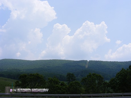
Cumulus Congestus near Bastian, VA
On radar, a lone storm had already fired east of Hillsville, so I drove in that direction. I knew I'd never make it in time before it fizzled, but I figured other storms might go up in the same general area. Surprisingly, the storm cycled and another updraft formed on its western flank, closer to the interstate. The lightning persisted until I got to within 5 miles from it east of Hillsville, then it was 'lights out'.
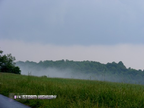
Dying storm and fog in field near Laurel Fork, VA
I could see other showers popping up to the southwest, so I ended up on the Blue Ridge Parkway heading east toward them (possibly becoming the first person to chase on the Parkway).
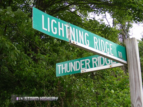
At Gladesboro, VA near the Blue Ridge Parkway
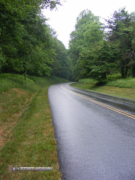
Rainy Blue Ridge Parkway near Fancy Gap, VA
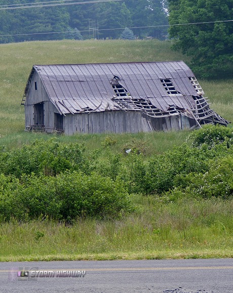
Along the Blue Ridge Parkway near Fancy Gap
I waited around for about 20 minutes near Fancy Gap, but the convection seemed to be having trouble. Not seeing much sense in waiting around, I decided to resume the trip east toward Raleigh. As soon as I passed Pilot Mountain on Highway 52, the showers exploded into a small but potent thunderstorm right where I had just been 25 minutes earlier.
Not to worry, however, as something was firing new storms down between Winston-Salem and Greensboro. Too far east to be mountain upslope-related, so I assumed an old outflow boundary was the culprit. I exited at High Point and drove south about 5 miles when a new storm fired right next to me, just what I needed with this type of setup. I had no time to find a good spot and no time to set up, so I just pulled into a church parking lot and handheld the video camera out of the window. This wasn't going to be a National Geographic / Discovery Channel caliber storm, so I didn't bother getting tripods and HD cameras set up for this. The CGs were single-return stroke hits, too quick to get much other than a still frame grab from the video and some nice thunder audio. I was more just having some fun with lightning hoping something would hit close.
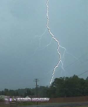
Lightning in High Point, NC
There were a few close strikes, though I wasn't aimed in the right direction. Here is a video clip.
The storms were not moving much at all, but as with most of the cells today, the lightning didn't last. I was finally back on I-40 eastbound by 5PM.
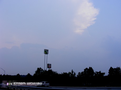
Heading east, looking back at the High Point storm
| View 1,585 storm chases: |
| by year: |
|
| by type: |
|
|
|
|
My work is, at this very moment you are reading this, generating the most income it ever has in my career. Yet, I was forced to shut down the professional side of my successul operation, against my will, due to one cause alone: 95% of that revenue is being stolen by piracy and copyright infringement. I've lost more than $1 million to copyright infringement in the last 15 years, and it's finally brought an end to my professional storm chasing operation. Do not be misled by the lies of infringers, anti-copyright activists and organized piracy cartels. This page is a detailed, evidenced account of my battle I had to undertake to just barely stay in business, and eventually could not overcome. It's a problem faced by all of my colleagues and most other creators in the field. |
GO: Home | Storm Chase Logs | Photography | Extreme Weather Library | Stock Footage | Blog
Featured Weather Library Article:
|