|
Home | Blog Index | Blog Archives | Christianity & Faith Essays | Storm Chasing Essays
Icy road outlook for Thursday/Friday
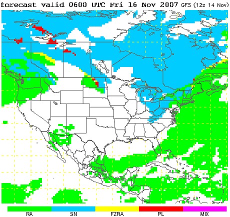
A strong cold front will pass through the central Appalachians tonight and into Thursday morning, bringing much colder air into the region. The GFS and WRF models show an upslope snow event is possible for the entire state on Thursday night into Friday morning. With temperatures forecast to drop below freezing for much of the area by dawn on Friday, icy roads are a possibility - with the greatest risk being in the higher elevation areas including Beckley, Elkins, Lewisburg and Princeton. Based on model forecasts, I would currently put the risk of icy bridges and/or roads at 25% for Charleston/Huntington and 75% for Beckley and areas above 2000 feet.

| View 1,609 storm chases: |
| by year: |
|
| by type: |
|
|
|
GO: Home | Storm Chase Logs | Photography | Extreme Weather Library | Stock Footage | Blog
Featured Weather Library Article:
|