| Home | Blog Index | Blog Archives | Christianity & Faith Essays | Storm Chasing Essays
Below 32 degrees and Monday-Thursday snow update
Winter is not wasting any time this year.
click to enlarge
click to enlarge
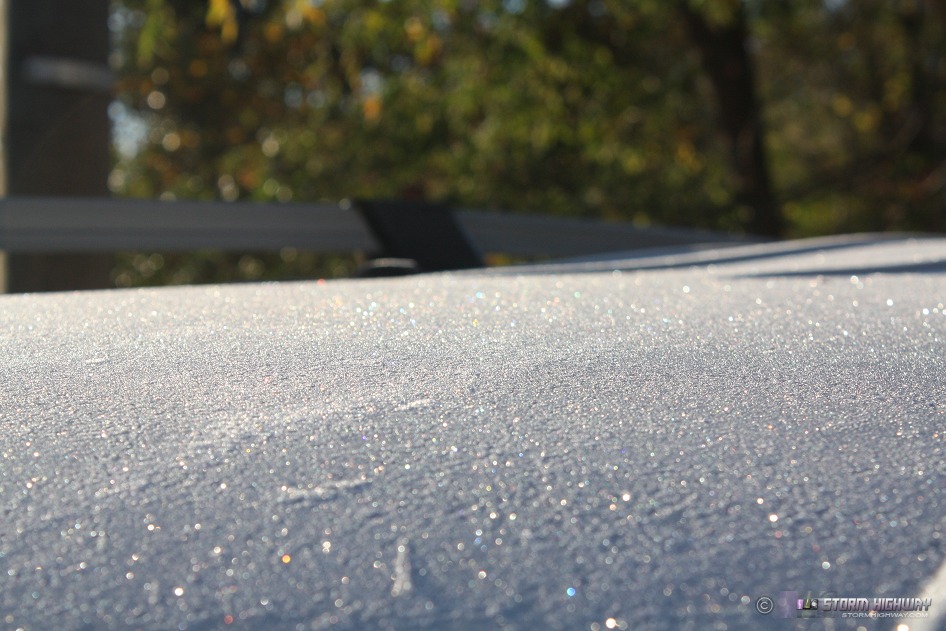
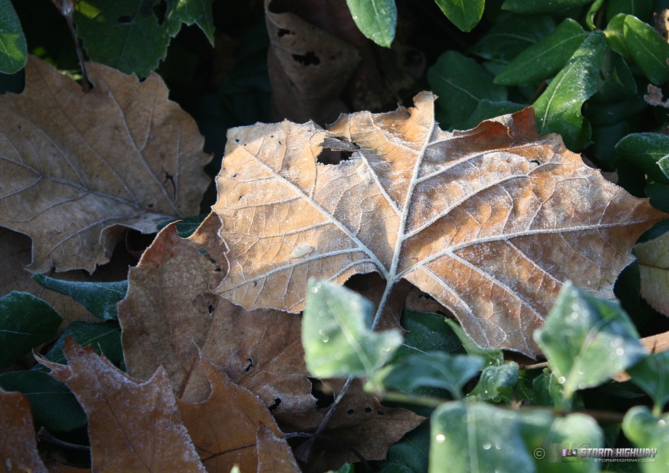
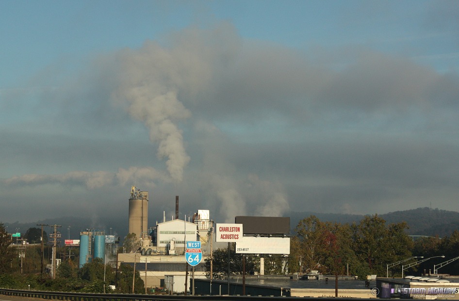
First hard freeze and the third frost here in Charleston today. Charleston's ASOS METAR station was reading 30°F when I got up at 7 this morning, the coldest it has been since April. The valley looked like a January post-arctic frontal passage, with industrial steam forming its distinctive low stratus.
click to enlarge
Furthermore, the GFS model has beefed up the snow forecast for all of West Virginia for Sunday and beyond, showing a solid upslope event from Tennessee up through the Alleghenies lasting all the way through Thursday!
GFS ptype forecast for Monday morning
GFS precip forecast for Monday morning
GFS ptype forecast for Tuesday morning
GFS precip forecast for Tuesday morning
Quite a classic Lake Michigan moisture plume/upslope pattern setting up there on Tuesday. This may be an outside-of-the-mountains event that could affect Charleston with the first icy bridge events of the season, much earlier than usual.
Blizzard warnings are already up for Kansas tonight.
|


