| Home | Blog Index | Blog Archives | Christianity & Faith Essays | Storm Chasing Essays
Cold-core storm chase day in the St. Louis metro - April 15
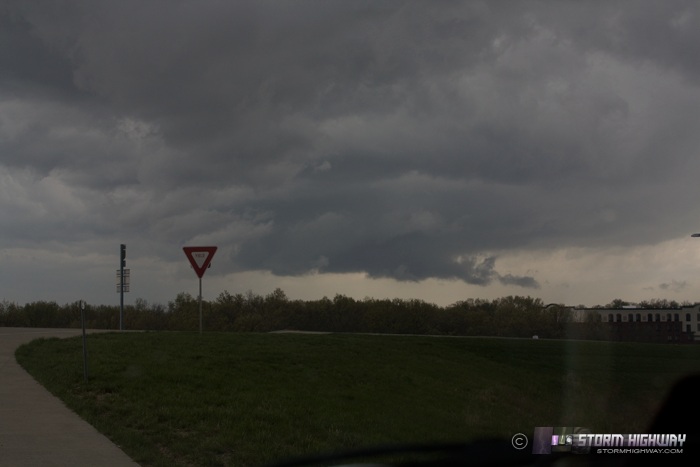
Today's chase setup was a cold-core occluded frontal boundary extending northwest to southeast generally right through the St. Louis metro. With dewpoints in the 50s, adequate deep layer shear, backed surface winds, cold midlevel temperatures and several hours of sunlight, the area was primed for severe storms with tornado potential. I started in Wentzville, MO, just missing the tornadic cell to the north - then cell-hopped down the line right back to my apartment in New Baden. The day was a bust tornado/supercell-wise for me, though storms to the north near Springfield did better in that department. Cells around St. Louis had trouble staying isolated and therefore did not ever develop supercell structure that I saw.
This feature near Chesterfield briefly developed an inflow tail, but never displayed rapid motion.
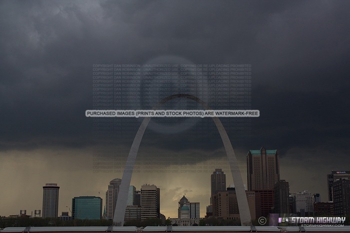
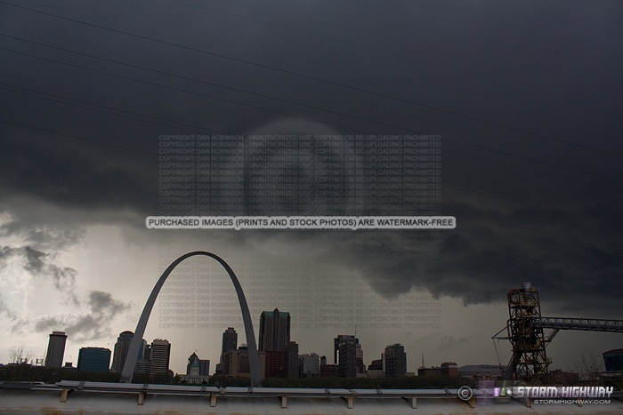
The next cell tracked just west of downtown - nothing of real interest here.
I jumped east from here, catching a glimpse of a tornado-warned base moving through Fairview Heights. Due to the heavy rush hour traffic, I did not attempt to exit the interstate and get pictures. Nonetheless, nothing I saw there looked interesting enough to photograph - again, no supercell structure, just a lot of low-hanging scud with no motion.
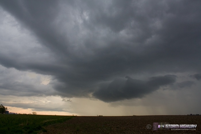
My next play was to catch a large tornado-warned cell moving up from Carbondale as it reached Mount Vernon, but I decided against this lengthy intercept course due to the radar trends indicating everything was lining out. Instead, I just finished the chase at my apartment. About 30-45 minutes later, two isolated storms developed behind the main line, with some interesting cloud patterns, but again not much else.
Other chaser reports from this day:
- John Farley - John captured better images of the tornado-warned storm I saw in Fairview Heights as it moved north through Edwardsville.
- Paul Hadfield - Paul was in the Springfield area where discrete storms persisted for much of the afternoon.
Love that first Arch shot!
- Posted by Dann Cianca from Grand Junction, CO | | |
Thanks Dann!
- Posted by Dan R. from New Baden, IL | | |
|


