| Home | Blog Index | Blog Archives | Christianity & Faith Essays | Storm Chasing Essays
Litchfield, IL supercell and hail - May 28
A risk for supercells and tornadoes existed today in central/southern Illinois along a warm front juxtaposed beneath strong mid and upper-level flow. Early in the day, an intense but elevated supercell developed north of I-70 in eastern Missouri and tracked into Illinois. Elevated supercells do not pull buoyant inflow from the surface, meaning the risk for tornadoes was low despite the storm's intensity. Large hail, on the other hand, was a high risk with the storm, so I decided to go ahead and intercept - particularly since the storm was turning increasingly to the right, making for a short drive north from New Baden.
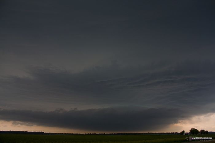
I caught the storm about 10 miles west of Litchfield, and stayed with it to I-55. This was the storm's appearance, viewed here looking south-southwest:
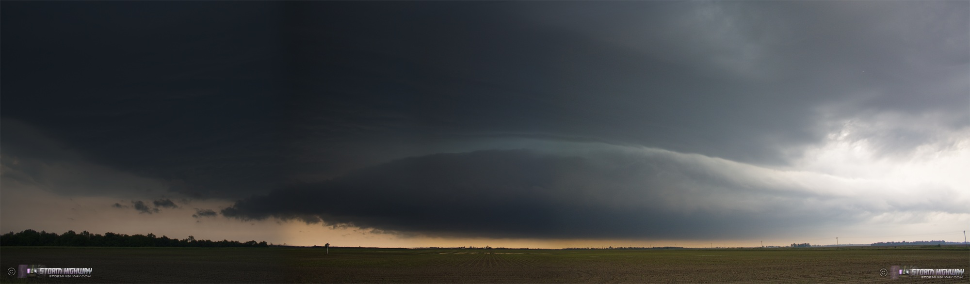
A few minutes later (panorama, click to enlarge):
Click to enlarge:
Radar algorithms indicated that there could be hail in the storm large enough to break my windows, so I stayed just south of the strongest indicated VILs. Even so, I was pelted by numerous dime to nickel-sized stones as the core skirted by to my north:
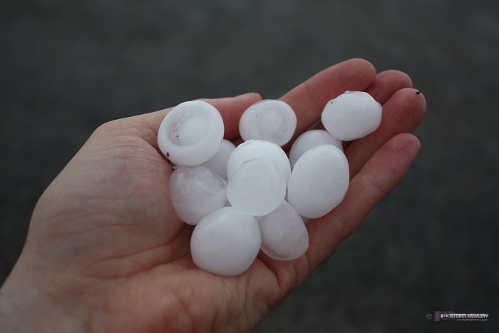
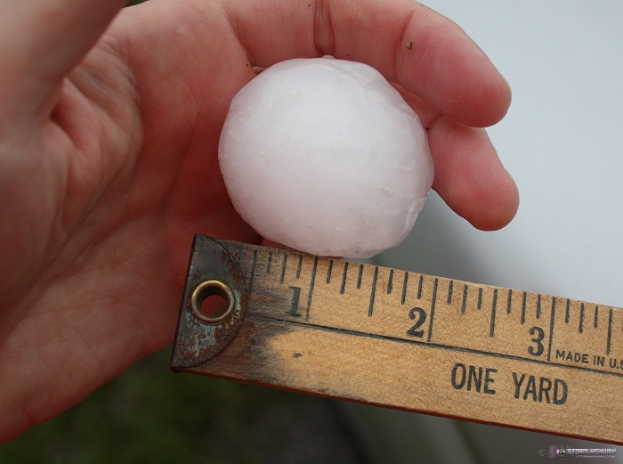
Immediately after the storm passed, I drove about 3 miles north of Litchfield to see how big the hail had been in the core. Hailstones were numerous enough to partially cover the ground in many spots. The largest stones I found were just shy of 2 inches, averaging 1.5":
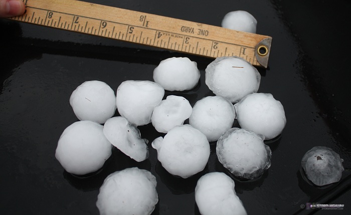
The largest stone I could find, a few sixteenths of an inch shy of 2":
I then headed south to meet up with Kurt Hulst and L.B. LaForce (who drove down from Michigan) in Trenton, IL. We waited to see if storms could fire on the warm front despite weak low-level convergence and a strong cap. If a storm formed, it would have good parameters in place for tornadoes. Unfortunately, storms could not initiate, so we called it a day after sunset.
Other nearby chaser reports from this day:
|


