|
Home | Blog Index | Blog Archives | Christianity & Faith Essays | Storm Chasing Essays
St. Louis area severe weather event - January 29
HD VIDEO: St. Louis area severe weather event
I never have high hopes for winter season severe storms, but I'm always happy to just see lightning and hear thunder in what most people consider the 'off season'. Today actually turned out a little better than I expected.
I had decided early on that I was not going to go long distances for this event, mainly because some tornado potential existed here at home. When that is the case, even if there is significant tornado potential elsewhere, I almost always choose the 'backyard' target. In fact, I stayed at home working until 2PM, not starting the chase until I noticed that the first target storm of the day was within reach, poised to cross I-70 then Highway 61 near Bowling Green, MO. I ended up leaving too late to catch this first storm. I knew storms would be racing today, but I still underestimated their speed. After realizing that storm #1 would beat me to Highway 61 by about 30 minutes, I waited for the next storm in the line.
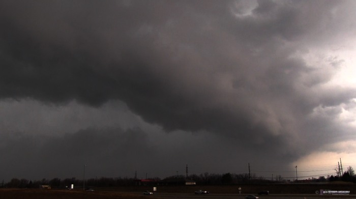
I met storm #2 as it crossed I-70 at Wright City. The storm was south then north of the highway in a flash, likely doing close to 70mph. I watched it track off into the distance for a few minutes, then headed east to stay ahead of a precip core that would soon become the forward flank of storm #3. The third storm suddenly wrapped up with 103mph shear markers on WxWorx, and went tornado warned. I stopped at Lake St. Louis to get a view - as I did, the tornado sirens started wailing (watch the video clip linked above). This was the view to my north from I-64. Any tornado would have been completely obscured by precip unless you were right on it.

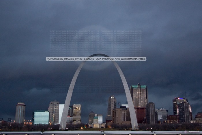
I plunged into rush hour traffic to make it downtown for a shot of the storms moving over the city. This was a ho-hum event, with an ill-defined shelf cloud and a few weak flashes of lightning.

Although the individual storm cells were rocketing north-northeast at a good 70mph, the front of the line was advancing eastward much slower, and therefore was easy to keep ahead of. I made it to the Lebanon exit of I-64 to set up another observation point. By now it was dark, but the storms were not producing much lightning.
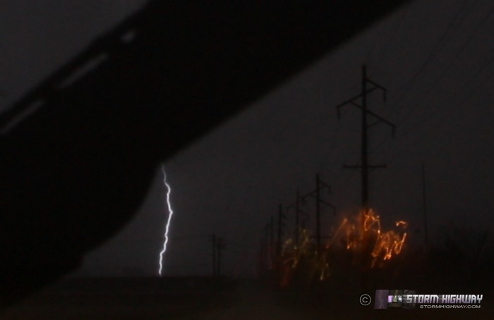
I headed home to edit the video for the day. Just as I was finishing that task, a second line of convection rapidly intensified right overhead. So, it was back on the road to try for lightning stills. All of the cloud-to-ground lightning was buried in rain, with shooting through the windshield the only option. I caught one like this, though when the wipers are in frame 90% of the time, good chance is they'll block something.

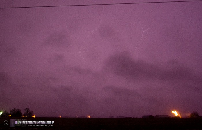
Technically, that extends the 'lightning stills every month' streak into 2013, though it's not much to shout about. The stratiform precip area behind the cells was active, though the lightning channels were too high in the clouds to be visible. I did manage to get this one that peeked through near Bartelso:

There was quite a bit of flooding on the road on the way home after this second round. I made it back by 9:30PM to close out another nice and short storm chase day, made possible by living in the lower Midwest.
Nice summary. I was in the field today as well. Caught your storm 1 on 61 as it died in southern Pike Co, Mo. Got down west of new melle for another storm that was tor warned, but couldn't see anything. Just 1 cg strike. Oh well, it was a winter slight risk event in stl, at least we had something to chase. I terminated for the day after the New melle storm.
- Posted by John from millstadt, il | | |
|