| Home | Blog Index | Blog Archives | Christianity & Faith Essays | Storm Chasing Essays
July 13 storms; July 1 tornado details; photo re-edits
July 1 chase account: The final chase account for the July 1 Illinois tornadoes is complete, with many images, detailed GPS/time data, and an extended video clip. View it here.
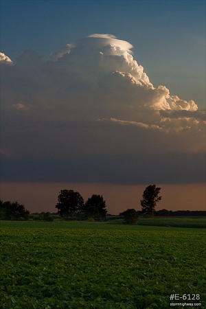
July 13 storms: A very unusual upper low moving westward was the setup on Saturday, one I wasn't quite sure how to play. I ended up watching the day evolve from home, then went out for a short 1 hour chase to the south at sunset. Lots of pileus caps were chased on the convection from Okawville to Marissa. This was near Venedy, looking west:
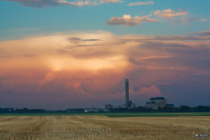
A more established storm loomed to the east at sunset behind the Prairie State Power Plant at Marissa:
All convection quickly dissipated after sunset.
Photo re-edits: I've been going through the photo archives this week, locating some images that could benefit from some more advanced editing as well as lightning images that could be stacked. Here's a sampling of those:
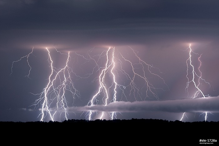
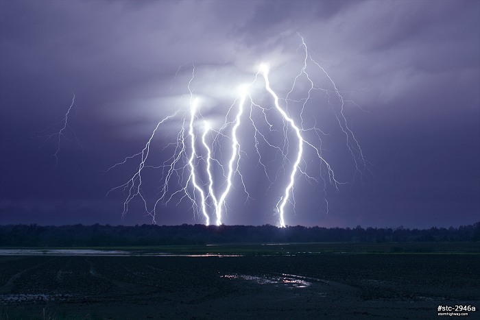
Okawville, IL post-tornado lightning show, September 25, 2012:
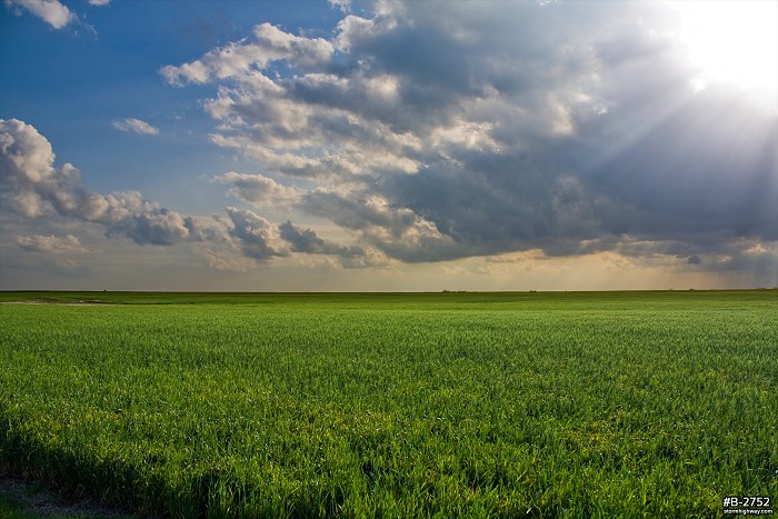
Oklahoma prairie scene, April 2009:
Intense lightning at Biscoe, Arkansas on May 1, 2010:
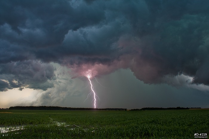
Lightning and dramatic clouds at Vergennes, Illinois, June 2011:
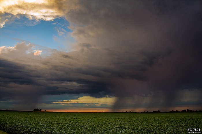
Sunset rain showers at New Baden, Illinois, September 2010:
|


