| Home | Blog Index | Blog Archives | Christianity & Faith Essays | Storm Chasing Essays
Storm day in Missouri/Illinois, September 24
Yesterday's event had slight 'cold core' tornado potential, with an offset surface/upper low approaching from northwestern Missouri along with a warm front in Illinois, an occluded surface front in central Missouri and another weak boundary apparent on satellite and radar in the western St. Louis metro. A plume of surface moisture and CAPE was rapidly moving north along the Mississippi valley, with SBCAPEs of around 1000 j/kg across the entire region. I chose to target the boundary west of St. Louis near Dardenne Prairie, as it was on the nose of a CAPE axis and agitated cumulus seemed to be focused there.
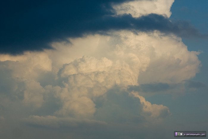
My target ended up busting, with the cumulus fading by late afternoon. Meanwhile, a strong storm blew up on the east side of the CAPE max about 12 miles from my apartment in New Baden. With the main occluded front to the west not due in the area until well after dark, I forged my way back east through St. Louis rush hour traffic into Illinois to catch up with the activity there (barely missing getting caught in a massive traffic jam on I-70 east). This was the view of an updraft east of Okawville, viewed from Fairview Heights:
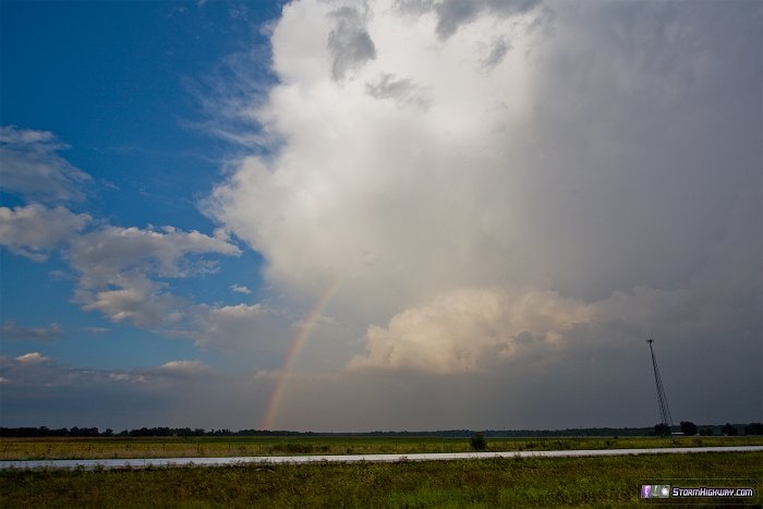
This rainbow north of I-64 near Okawville formed at the edge of a weakening precip core:
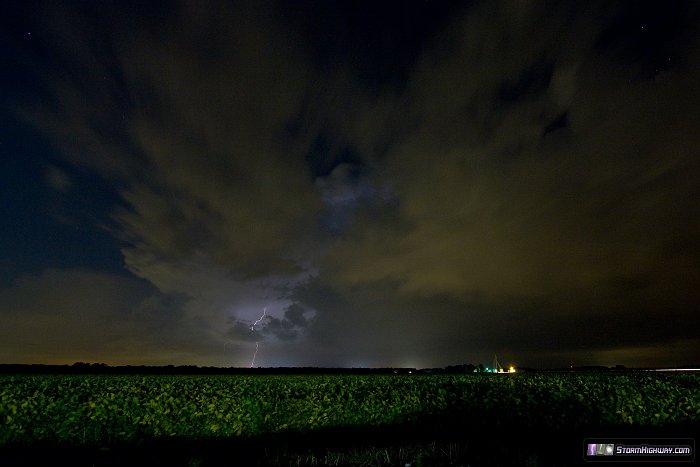
I ended up all the way in Mount Vernon, IL, arriving at a storm there just as it dissipated. With sunset past, I headed home to await the arrival of the main activity in St. Louis. Soon after, storms fired just to my north and raced away. This was one of only two distant lightning bolts I saw from near Lebanon:
Lightning continued in this activity, but I wasn't motivated to drive north after it. The activity to the west of St. Louis dissipated long before reaching the metro.
|


