|
Home | Blog Index | Blog Archives | Christianity & Faith Essays | Storm Chasing Essays
Plains storm forecast update No. 6: for April 20
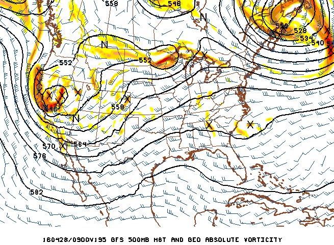
Long-range models (GFS and Euro) have been showing a dominant western troughing pattern and in-place deep surface moisture to finally emerge by this weekend. This pattern, if it materializes as shown, would mean the first Great Plains trip(s) of the season are likely in the coming weeks. As the larger trough sits out west, it will be poised to send occasional "shortwave" impulses across the Plains, each which has the potential to produce an outbreak-type scenario.
GFS model 500mb winds forecast for Wednesday, April 27
All in all, I am fairly optimistic that the first Plains trip will happen before the end of April.
The following table charts the probability of a Great Plains storm chase expedition happening during several indicated date ranges in the near future:
| 2016 Plains Storm Expeditions - Probabilities as of April 20 |
| April 20-24 | 15% | |
| April 25-30 | 60% | |
| May 1-5 | 30% | |
|
|


