|
Home | Blog Index | Blog Archives | Christianity & Faith Essays | Storm Chasing Essays
March 23, 2019 chase log: Oklahoma City metro supercell & hail
I started the day in Weatherford, sleeping late right up til check-out time, expecting the action to be just to the east around OKC by late afternoon.
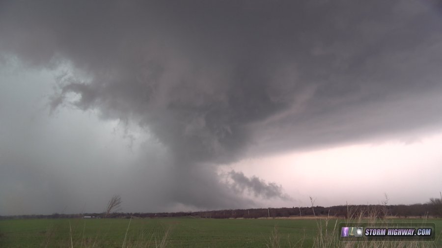
At storm initiation, the primary development was right on the cold front from El Reno northeast through northern OKC. This looked undercut by the front from the get-go, but the development in the more preferred area to the south (away from the front) around Minco/Chichasha was having trouble. The southern cell's base shriveled, leaving the storms on the front moving into the heart of northern OKC as the only options. Like supercells here can often do with weak cold fronts, the storm's inflow was strong enough to resist the undercutting, and it developed dramatic structure as it moved east through the metro area.

Supercell in eastern OKC metro
After that first big RFD cycle, the storm never really regained any solid structure. When it finally started visually declining northeast of Meeker, I broke off the chase and headed to the Turner Turpike to start the trek home. I encountered a deluge of quarter-sized hail south of Stroud in a left split from the storm. I arrived back home at around 3AM.
This Youtube video includes some of the shots from this day, most notably the hail near Stroud captured at 1,500 frames per second:
< Back to 2019 Great Plains trip #1 summary
| View 1,609 storm chases: |
| by year: |
|
| by type: |
|
|
|
GO: Home | Storm Chase Logs | Photography | Extreme Weather Library | Stock Footage | Blog
Featured Weather Library Article:
|