 Winter digs in to West Virginia: Cold air keeps precip as snow throughout state Winter digs in to West Virginia: Cold air keeps precip as snow throughout state
January 28, 2007
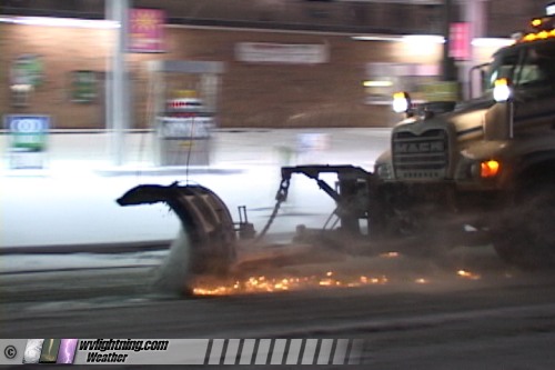
ABOVE: Sparks fly from a snowplow blade in Pinch on Sunday night.
CHARLESTON, WV - West Virginia is finally getting a taste of real winter in recent days. Frigid arctic air will keep numerous snowfall events in the forecast for Charleston and all of the Central Appalachian region.
A classic upslope snow band developed just north of Charleston on Sunday night, demonstrating how fast conditions can change in these types of events. While downtown Charleston saw only a light dusting of snow, accumulations peaked above two inches in the Pinch/Big Chimney areas. I-79 drivers saw road conditions go from clear in Charleston, to icy and treacherous from Mink Shoals to Elkview, then clear again from Clendenin northward.
VIDEO CLIPS:

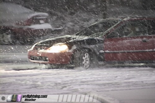
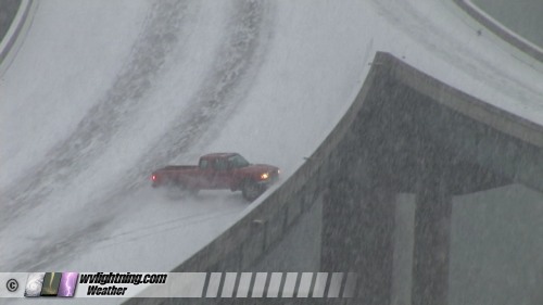
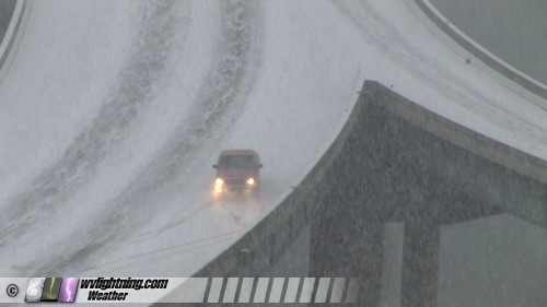
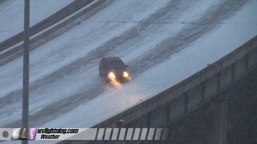
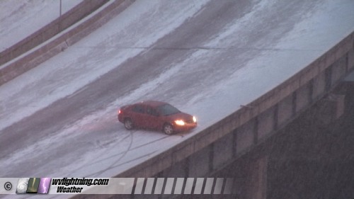
EXPEDITION VIDEO 1: Watch cars spin out and crash on I-64 in Charleston: Watch Video Clip

EXPEDITION VIDEO 2: Watch a heavy snow squall envelop west Charleston: Watch Video Clip
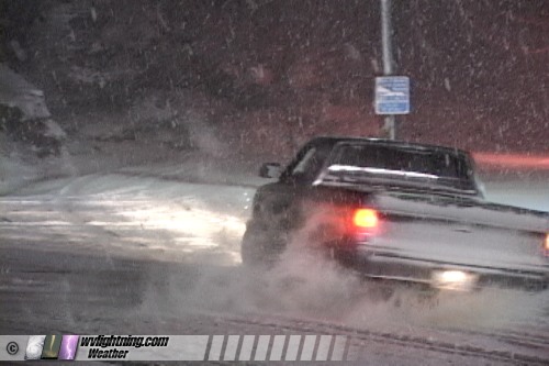
EXPEDITION VIDEO 3: Watch Pinch drivers deal with a heavy snow band: Watch Video Clip
BELOW: Drivers in Pinch negotiate the more than two inches of snow that fell on Sunday night.
SNOW SQUALL MOVES IN:
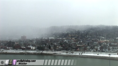
(ABOVE) Snow bands can turn the weather from clear to whiteout snow in two minutes! Watch this snow band envelop west Charleston on Sunday afternoon: Watch Video Clip
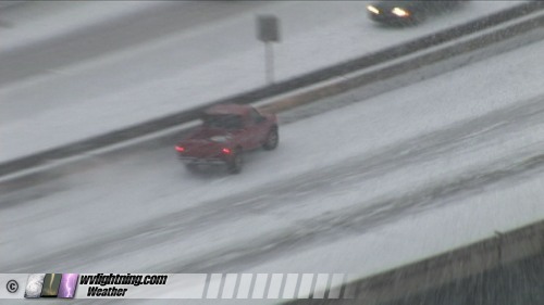
BELOW: Vehicles spin out and wreck on the I-64 bridge at Oakwood Road in Charleston. Watch Video Clip
| View 1,609 storm chases: |
| by year: |
|
| by type: |
|
|
|
GO: Home | Storm Chase Logs | Photography | Extreme Weather Library | Stock Footage | Blog
Featured Weather Library Article:
|