 June Thunderstorms: Charleston, WV - June 11, 2003 - 2:30PM - 4:30PM June Thunderstorms: Charleston, WV - June 11, 2003 - 2:30PM - 4:30PM
LOCATION: Route 119 from Charleston to near Julian, WV.
EXPEDITION VIDEO: Lightning and flooding in Kanawha and Boone Counties
At 2:00PM, doppler radar showed a line of heavy and intensifying storms stretching from just south of Charleston to the southwest corner of the state. The line would later develop northward and pass directly over the Charleston area. Lightning was sporadic but strong, rain was exceptionally heavy througout the region. Flood warnings were issued for Kanawha County as roadways became submerged and landslides blocked Interstate 64 near Fort Hill. 2 to 3 inches of rain were reported in the Charleston metro areas, and up to 2 inches of rain was recorded in many other counties. The storms strengthened as they moved eastward, where a severe thunderstorm watch had been issued for the remainder of the day. More storms are expected to affect the region for the next few days. Frame captures from RealVideo, 4.1MB are below:
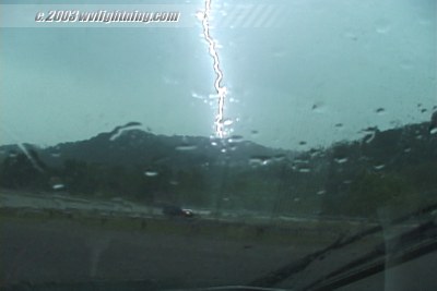
Lightning near Julian along Route 119:
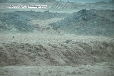
Vehicles cross a flooded section of Rt. 119 near MacCorkle Avenue:


Street flooding at Southridge Centre on Corridor G:
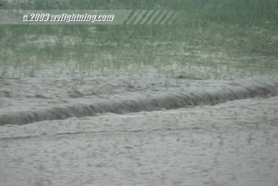
A backhoe operator at Southridge tries to clear a clogged storm drain on a flooded roadway:

Digital Video: Sony DCR-TRV900 3CCD MiniDV, 720x480 NTSC
|