 Pittsburgh lightning chase: June 13, 2007 Pittsburgh lightning chase: June 13, 2007
Click any thumbnail on this page to view a larger version.
PITTSBURGH, PA - An upper air disturbance, cold air aloft and warm, moist air at the surface came together to create favorable conditions for severe storms across the Central Appalachian region on Wednesday. As I was already in the Pittsburgh area visiting family, I decided to head downtown to film any storm that happened to move across the city.
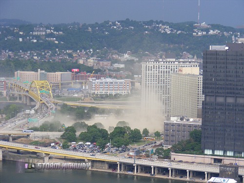
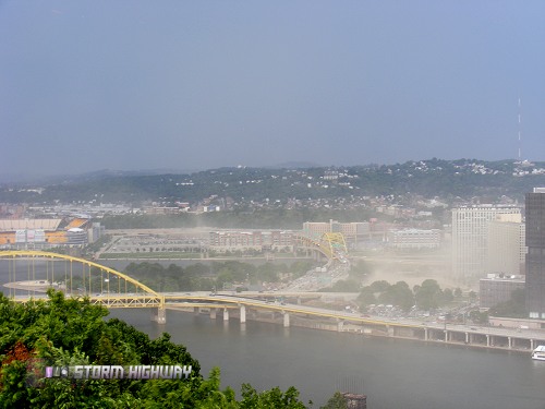
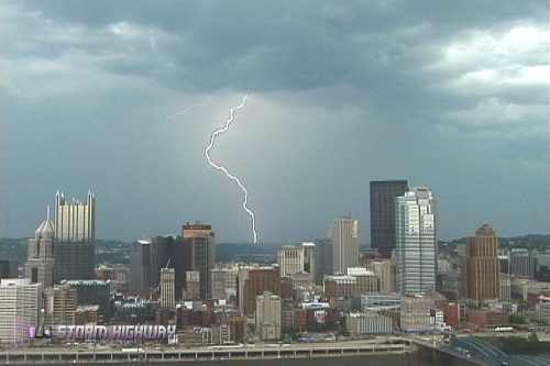
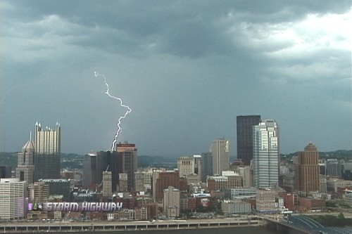
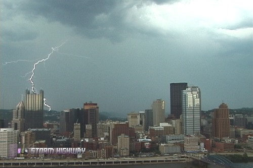
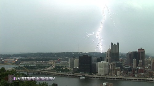
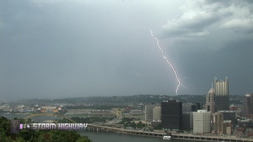
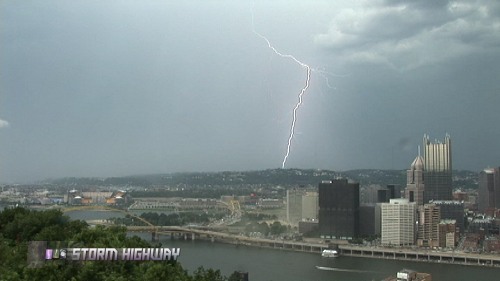
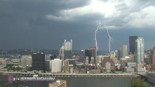
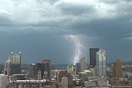
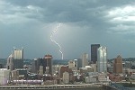
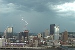
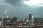
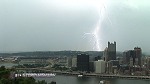
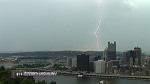
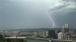
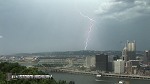
An approaching cluster of storms rapidly intensified just before arriving in Pittsburgh. A gust front developed quickly and rushed across the city, lofting any exposed dirt into the air in large dust clouds.
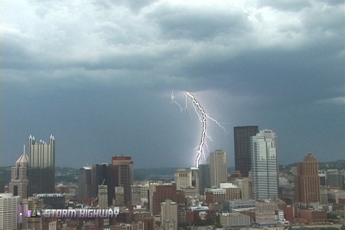
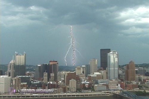
The storms developed into an inverted u-shaped line, literally surrounding the city but somehow sparing downtown a direct hit from a core of heavy rain and hail. This allowed me to stay at my vantage point for an extended time to shoot the lightning that skirted all around downtown.
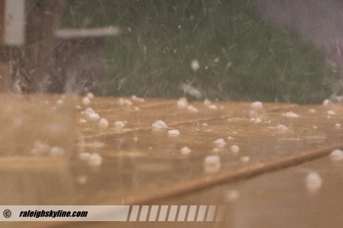
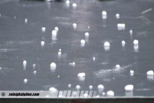
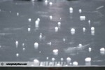
Back at the house, a strong thunderstorm's core was passing directly overhead. Matt grabbed his camera and shot some video of the small hail beginning to cover the deck:
  Copyright 2007 Matt Robinson, raleighskyline.com Copyright 2007 Matt Robinson, raleighskyline.com
A close lightning strike near the house knocked out power to part of the neighborhood for about an hour. I contemplated following the storms southward on I-79 to Charleston, but decided to save the gas money for another time - a good choice as it turned out, as the storms moved west of I-79 and weakened long before reaching Charleston.
GO: Home | Storm Chase Logs | Photography | Extreme Weather Library | Stock Footage | Blog
Featured Weather Library Article:
|