 First strong storms of 2005 affect state: Frequent lightning, hail covering ground seen in some locations: March 23, 2005 First strong storms of 2005 affect state: Frequent lightning, hail covering ground seen in some locations: March 23, 2005
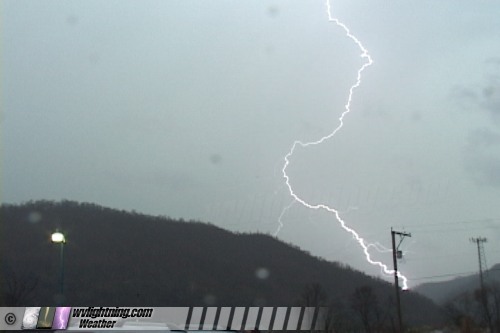
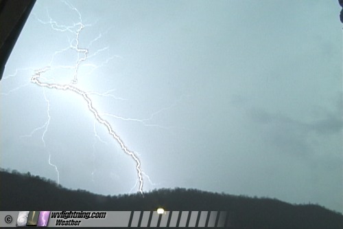
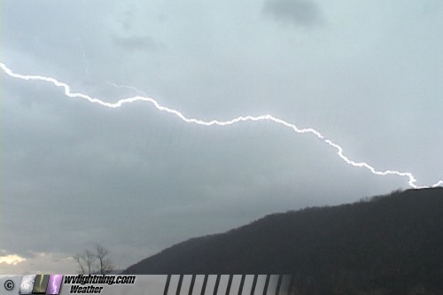
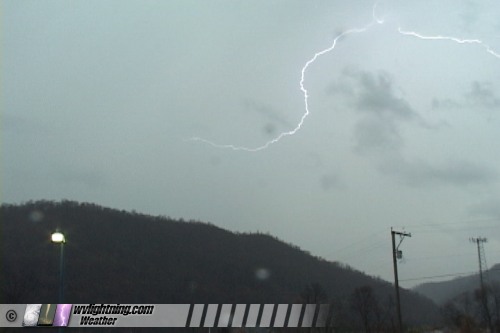
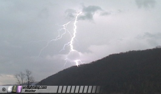
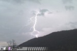
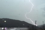
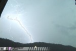
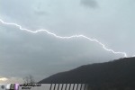
ABOVE: Lightning near Montgomery on Wednesday.
VIDEO: Lightning near Montgomery on Wednesday: RealVideo, 2.1MB
MONTGOMERY, WV - The first strong thunderstorms of the season affected parts of Kentucky and West Virginia on Wednesday afternoon. Hail was reported in many locations, in some places covering the ground. The following is a log of the day's chase. Photos may be enlarged by clicking on the thumbnail image.
Wednesday, March 23 brought the season's first significant thunderstorm event to the Mountain State. The core of a low pressure center was forecast to pass directly over southern West Virginia. With skies clearing by midday, instability was able to develop, priming the atmosphere for an outbreak of storms by mid-afternoon. Plenty of cold air aloft ensured that hail would be common with any strong cells. Convection began firing in eastern Kentucky and intesified as it crossed the border into West Virginia. Storm reports in the coalfields described small hail covering the ground in many locations.
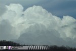
I left Charleston just after 1PM to intercept the strongest cluster of cells moving toward the Pax area along the Turnpike. My goal was to enter the cores of the stronger cells to hopefully encounter some small hail. However, as I traveled east, new convection began exploding around Charleston:
Video capture:
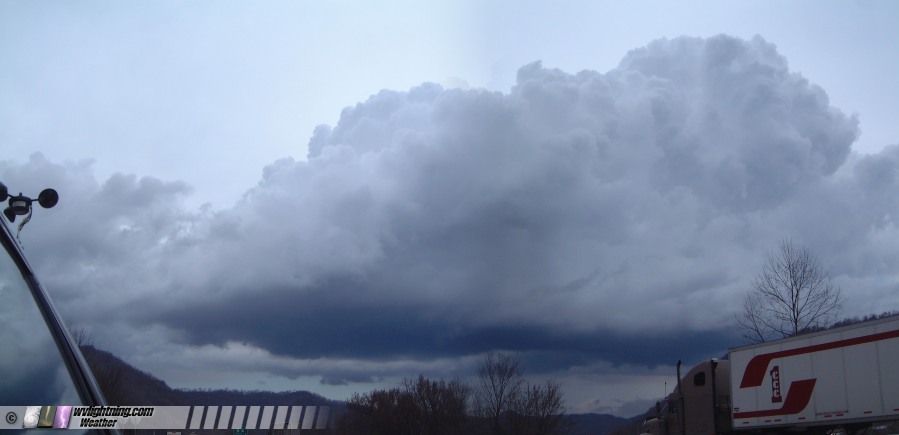
One cell near Marmet displayed a smooth, flat base with a feature resembling a clear slot/horseshoe structure:
Digital panorama:
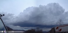
I observed rising scud tags under this base, so I decided to stop and watch for a while. With the low core so close, I figured anything was possible. Also, the storm structure resembled one that produced an unusual tornado in Texas just two days before, associated with the same system. However, this cell quickly fell apart, and I continued east to my original target of southeastern Kanawha County. Strong cells were already closing in on the Turnpike near Paint Creek, so I opted for the Kanawha River route along Route 60 for better visibility and more locations to stop and film. I ended up in the Montgomery area, stopping once to film a nice lightning show coming over the mountains to the south:
Video captures:
    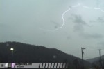
I encountered a few small hailstones bouncing off of the windshield near London, but nothing as significant as what was reported further south. My target storm quickly dissipated after moving northeast of the river at Montgomery, and I turned around to head back to Charleston. Heavy stratiform precip with occasional lightning flashes remained in the region for the next several hours, causing minor street flooding and hydroplaning issues for some motortists.
GO: Home | Storm Chase Logs | Photography | Extreme Weather Library | Stock Footage | Blog
Featured Weather Library Article:
|