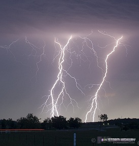 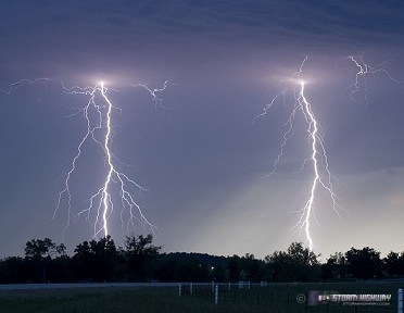
 Miami, Oklahoma lightning: May 9, 2010 Miami, Oklahoma lightning: May 9, 2010
ABOVE: Lightning at Miami, OK on May 9, 2010.
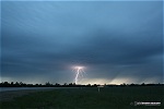
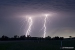
Click any thumbnail on this page to view a larger version.
MIAMI, OK - I decided to leave St. Louis on Sunday afternoon, one day early before the expected tornado outbreak on Monday the 10th. Numerous elevated thunderstorms were expected to develop in northeast Oklahoma overnight, with resulting nighttime lightning photography opportunities. I encountered these storms in Miami, along I-44 in extreme northeast Oklahoma right after sunset - and they were very cooperative in terms of frequent, visible cloud-to-ground lightning strikes. (This town in Oklahoma is pronounced 'My-am-uh', not like the Florida city)
  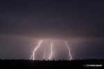 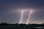 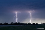 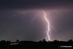 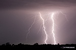 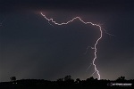
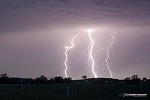 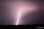
These storms were moving rapidly northeast, so I didn't try pursuing them for more shots. As they passed directly over downtown Miami, there were several power flashovers as bolts struck power lines. I arrived in Tulsa a couple of hours later in preparation for the next day's event.
NEXT EVENT: Oklahoma tornado outbreak >
GO: Home | Storm Chase Logs | Photography | Extreme Weather Library | Stock Footage | Blog
Featured Weather Library Article:
|


