 Moderate Risk Day: Akron/Canton OH & Charleston, WV - November 12, 2003 - 3:00PM-12:00AM Moderate Risk Day: Akron/Canton OH & Charleston, WV - November 12, 2003 - 3:00PM-12:00AM
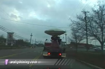
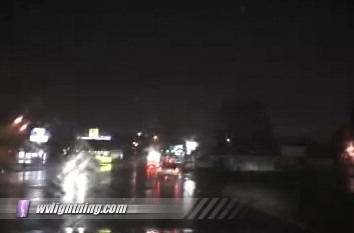
A 600-mile trip to Ohio on Wednesday was undertaken to document the potential severe weather outbreak. Thankfully the tornado threat did not play out as expected in this highly populated area. With the help of nowcasters via cell phone, I managed to get within 15 miles of the only reported tornado in Wooster, Ohio. As I drove through Canton, about 15 miles east of Wooster, a tornado warning was issued for the Canton metro and Stark County at 7:30PM. Tornado sirens sounded in the city but no tornado or funnel cloud sightings were reported. I also encountered a DOW (Doppler on Wheels) research truck earlier, a vehicle that usually stays in Tornado Alley for severe weather research projects. It was a rare sight to see it
in our region.
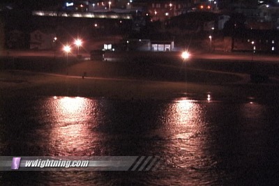
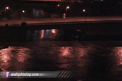
Most of West Virginia escaped the severe thunderstorms that fired out ahead of the cold front. The strongest storms were confined to northeastern Ohio and the northern panhandle of WV. Several isolated reports of wind damage were reported in Raleigh and Wyoming counties. Rainfall amounts of up to 3.5 inches fell across parts of the state on Wednesday morning, which has caused water levels to rise in many of the rivers in the area. The Elk, Guyandotte and Coal rivers were set to crest above flood stage this morning, with minor flooding problems as a result. The Kanawha River in Charleston was covering parts of Magic Island and Haddad Riverfront Park this morning.
Frames from video:
The Kanawha River encroaches on Magic Island in Charleson:

The swollen Elk River leaves little room under the Kanawha Boulevard bridge:

DOW 2 in Brunswick, Ohio:

Driving through north Canton, Ohio as tornado sirens blare:

Digital Video: Sony DCR-TRV900 3CCD MiniDV, 720x480 NTSC
|