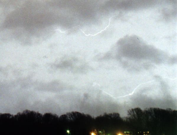
Friday, February 18 was a day packed with noteworthy events. I had just returned from service call to find our office at CIS Internet in Scott Depot, WV surrounded by violent, muddy rising water from a small overflowing creek next door raging from the daylong downpours. After spending a frantic 30 minutes moving computers off the floor onto the desks and moving papers and files up to high shelves, I stepped outside as two cars wrecked right in front of the office on the rain-slickened Teays Valley road. Fortunately, no one was hurt and the damage was minimal. I stayed on standby at the office until the water finally started receding at 7:30pm. Thankfully the water never made it inside the building, but did it ever come close. Others throughout the area didn't make out so well- One person drowned and two were missing north of the city after a rescue boat overturned at a gas station near Sissonville. Hundreds of houses were flooded, roads were washed out, and lots of damage done. It was quite a mess. As I was driving home, there was lightning all around from several cells surrounding the area. The flashes were mostly intracloud, but a few scattered discharges made it to ground. After driving around unsuccessfully looking for photo set-up spots, I decided to go home. The best display of lightning came after 8:00 PM on Friday night when an unusually strong cell moved through Charleston. I shot 3 rolls of film for the next 2 1/2 hours, but only one of the frequent in-cloud lightning flashes barely peeked through the clouds (below). Sporadic lightning and thunder continued through most of the night, but I was too exhausted from the day's adventures to stay awake.....
GO: Home | Storm Chase Logs | Photography | Extreme Weather Library | Stock Footage | Blog
Featured Weather Library Article:
|
|||||||||||||||||||||
Web Site Design and Internet Marketing by CIS Internet


