|
Home | Blog Index | Blog Archives | Christianity & Faith Essays | Storm Chasing Essays
Gabrielle update - 9:31PM
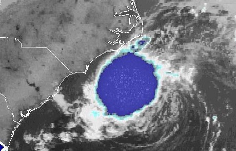
Gabrielle is slowly looking better on satellite imagery, with increasingly stronger convection now merging with the previously detached low-level circulation center. As long as this trend continues, Bill Coyle and I will be heading for the Outer Banks in the next few hours. The one caveat remains the storm's curving forecast track, which could take it out to sea and away from the barrier islands. However, even if the circulation center remains offshore, we should still be able to catch some of Gabrielle's stronger inner bands. The outer rain bands are already close to impacting the Outer Banks within the next hour or two.
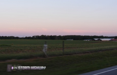
In rain-starved Raleigh this evening, high clouds from Gabrielle's outer fringes were visible in the distant eastern sky. Unfortunately the central NC region will likely not see much rain from this storm, if any at all.
GO: Home | Storm Chase Logs | Photography | Extreme Weather Library | Stock Footage | Blog
Featured Weather Library Article:
|


