| Home | Blog Index | Blog Archives | Christianity & Faith Essays | Storm Chasing Essays
January 20 STL area snowstorm
RELATED PHOTO GALLERY: St. Louis Storms and Weather Gallery
Update 9:06PM CST Thursday, (Posted from New Baden, IL):
Added some new photos in a separate blog post.
Update 11:36AM CST Thursday, (Posted from New Baden, IL):
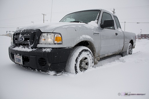
I made a short trip this morning with a yardstick and a camera around Madison, Clinton and St. Clair Counties on the Illinois side of the St. Louis metro. Measured totals: Pontoon Beach: 13" ; New Baden: 3.5" ; Trenton: 5" ; Highland: 9" ; Troy: 9". The NWS has a page showing more totals here. The band that set up last night was very narrow, but those in it received up to a foot of snow.
Stopped in an unplowed parking lot in Troy, 9":
click to enlarge
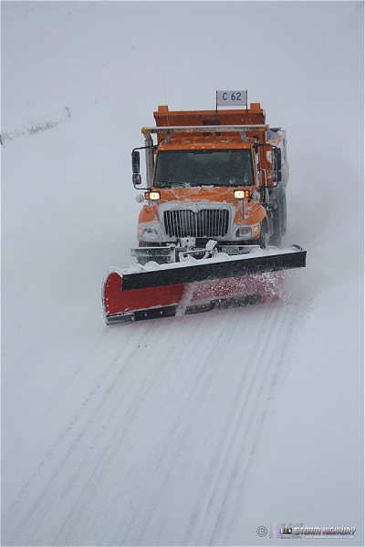
Plow on Route 50 at Trenton:
click for gallery
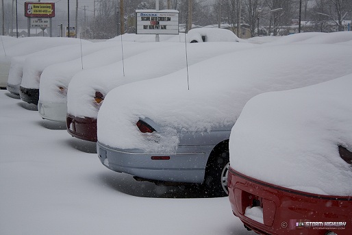
Car dealership at Troy:
click for gallery
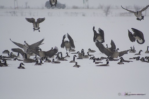
Geese in up to their necks at Pontoon Beach:
click to enlarge
Pontoon Beach, 13":
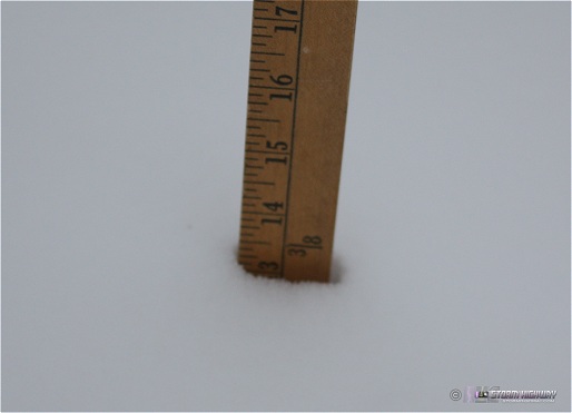
click to enlarge
Update 2:48AM CST Thursday, (Posted from New Baden, IL):
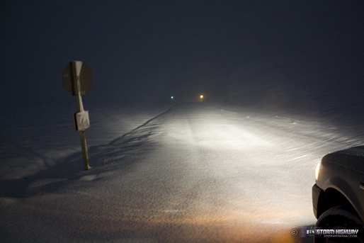
Yet another snow event for the St. Louis region. My schedule is booked up with web development work this week (shameless plug for my business), and since heavy snow produces fairly low-risk icing accident events (no element of surprise, hazard is obvious), I'm not giving this storm as much attention as I normally would. I did drive a few miles north on Highway 160 after 1AM CST to look at a heavier snow band in southern Madison County. Some yellows were showing up on radar, and lightning had been chased in Oklahoma in the past few hours, so I figured there was an off chance of thundersnow. Nothing too interesting with the band, but the snow was very heavy as expected with large clumps of flakes falling. There was already about 4 inches of fresh snow already on the ground in the center of the band, where I took this photo of Hoyt Monken Road at Highway 160 (north of Trenton, IL). No cars had driven on the snow recently:
click to enlarge
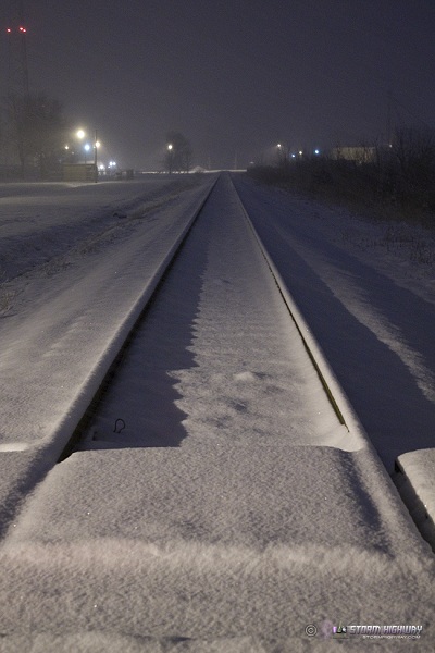
A little farther south, Trenton was on the fringes of the snow band, but had about 2 inches so far as of around 2AM:
click to enlarge
New Baden has been outside of the heaviest banding so far, but even so there is a little over an inch and a half on the ground here at my apartment. I will try to get out in the morning for some daytime shots around St. Louis, depending on how my work day and sleep patterns go.
|


