| Home | Blog Index | Blog Archives | Christianity & Faith Essays | Storm Chasing Essays
Highland, Illinois nighttime supercell hailer/hail fog - April 26
I had been anticipating this event for several days, as models advertised a rather nice setup for northwest flow supercells on Tuesday and Wednesday across the lower Midwest. Although models sorely overforecast moisture and instability, they did rather well with the wind profiles. And when storms finally did manage to fire late Wednesday night, they did so in that favorable kinematic environment. While tornado potential was kept at bay by the drier low levels, the setup for supercells and hail verified nicely. One storm managed to fire in southeast Iowa and track all the way across southern Illinois, taking on supercell characteristics much of the way.
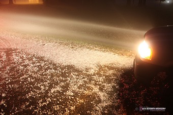
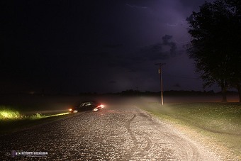
I caught the storm around 1AM in Highland, Illinois, positioning as best I could where shelter was available (a gas station canopy) in the path of the near-maxed-out VIL spike on radar. The initial wave of hail was unimpressive, so I went west on US 40 to reach southbound 160. At Highway 160 in west Highland, both the size and number of the hail increased dramatically. Most stones were in the quarter range, with a few maxing out just below golfball size. I slowly moved south on Highway 160, shortly encountering a dense swath of quarter to half-dollar sized hail completely covering the road:
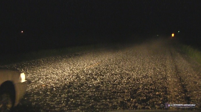
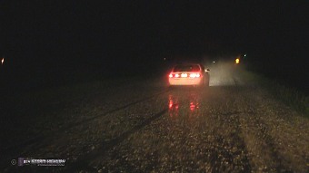
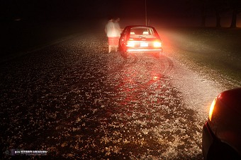
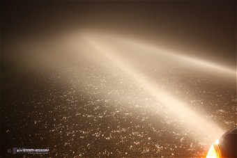
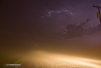
With time, a very dense hail fog developed (hail fog occurs when the ice cools the air at the surface to saturation). This was the most dense hail fog I have chased, with visibilities at near zero. It was difficult to see the edges of the road. Inching along slowly, I strained to locate a side road to stop and get photos. When I did, another driver stopped, thinking I needed help. As he turned around in front of me, he slid off of the road (due to the slickness of the hail) and got stuck. I used my tow strap to pull him back onto the road.
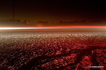
Images from the event Click each to enlarge:
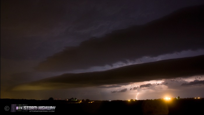
Earlier (before intercepting the storm in Highland) I watched the storm approach from the northwest, with an interesting "double arcus" on the gust front:
A satisfying and eventful chase to cap off another Midwestern setup, and only 15 miles from home.
Other chaser accounts from this event:
- John Farley - John intercepted the storm in Hamel, IL about 45 minutes before I did.
|