| Home | Blog Index | Blog Archives | Christianity & Faith Essays | Storm Chasing Essays
May 29 overnight storms in the STL metro
With another day off, I had planned for an all-day chase on Monday to wherever a decent play would set up in the Midwest. Coming into the day, I had expected to target somewhere up north, possibly as far north as Chicago. I set my alarm for 8AM (I work 3pm to 11pm, so that's early for me). When I awoke, upon doing a quick check of data I decided to just go back to bed! Satellite showed extensive clouds over most of the warm sector ahead of the cold front, with precip even mixed in here and there. In other words, an instability-killer in an already meager low-level moisture environment. It appeared there would be no potential worth wasting gas money on, and since storms were possible in the St. Louis region after dark, it wasn't a difficult decision to just spend the day at home.
As the afternoon progressed, convection up north wasn't really taking off (as expected), and I wasn't too excited about the potential down here given the typical post-sunset instability drop-off. However, the short-term models were insistent all day about a ramp-up of storm coverage and intensity after dark. And lo and behold, they were correct! After midnight, storms took off well ahead of the cold front in a line from northeast Oklahoma to central Indiana.
I spent about 3 hours out and about in mainly the northeastern portion of the St. Louis area, at one point finding myself under a new updraft near Hamel that produced a barrage of close lightning not unlike the one from May 5 near Carlyle. This time, however, heavy rain arrived at the same time the lightning did, with a steady raindrop-driving wind coming from the direction of the lightning - making it impossible to get the camera set up. Just prior to this, I grabbed a few shots between Glen Carbon and Edwardsville. These two images are each 3-frame stacks:
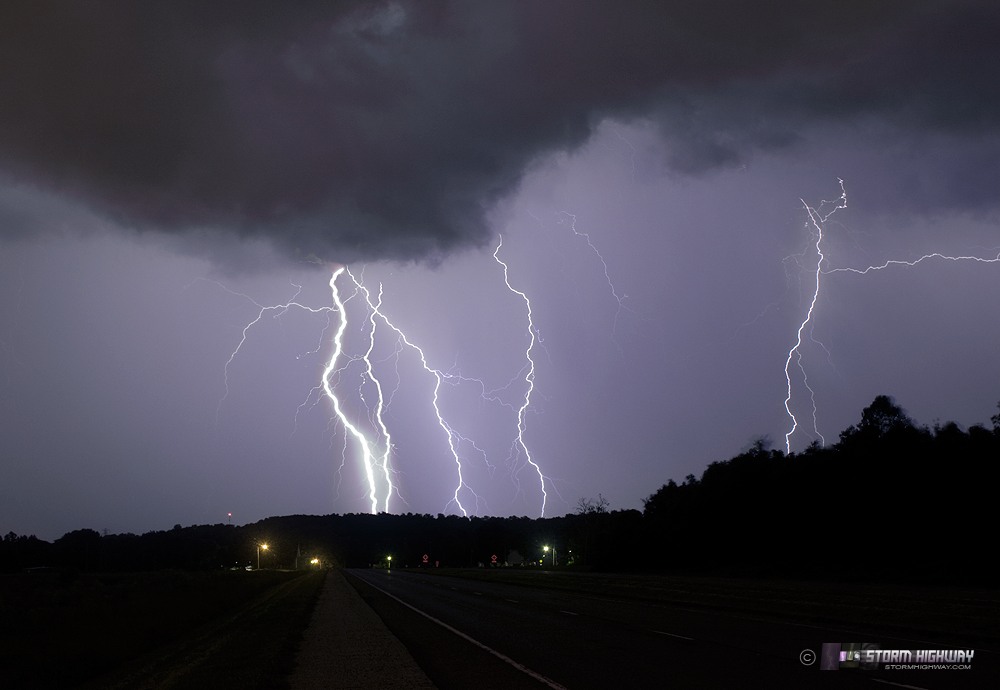
Click for larger view
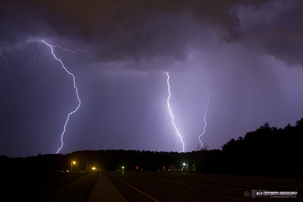
Click for larger view
|


