| Home | Blog Index | Blog Archives | Christianity & Faith Essays | Storm Chasing Essays
St. Louis metro lightning, September 19-20
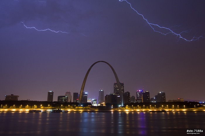
September 20:: The St. Louis metro got the short end of the stick with the storms on Thursday night, with everything mostly falling apart by the time it arrived. I caught these two flashes over the skyline at 3:30AM. This is a stacked image of the two frames:
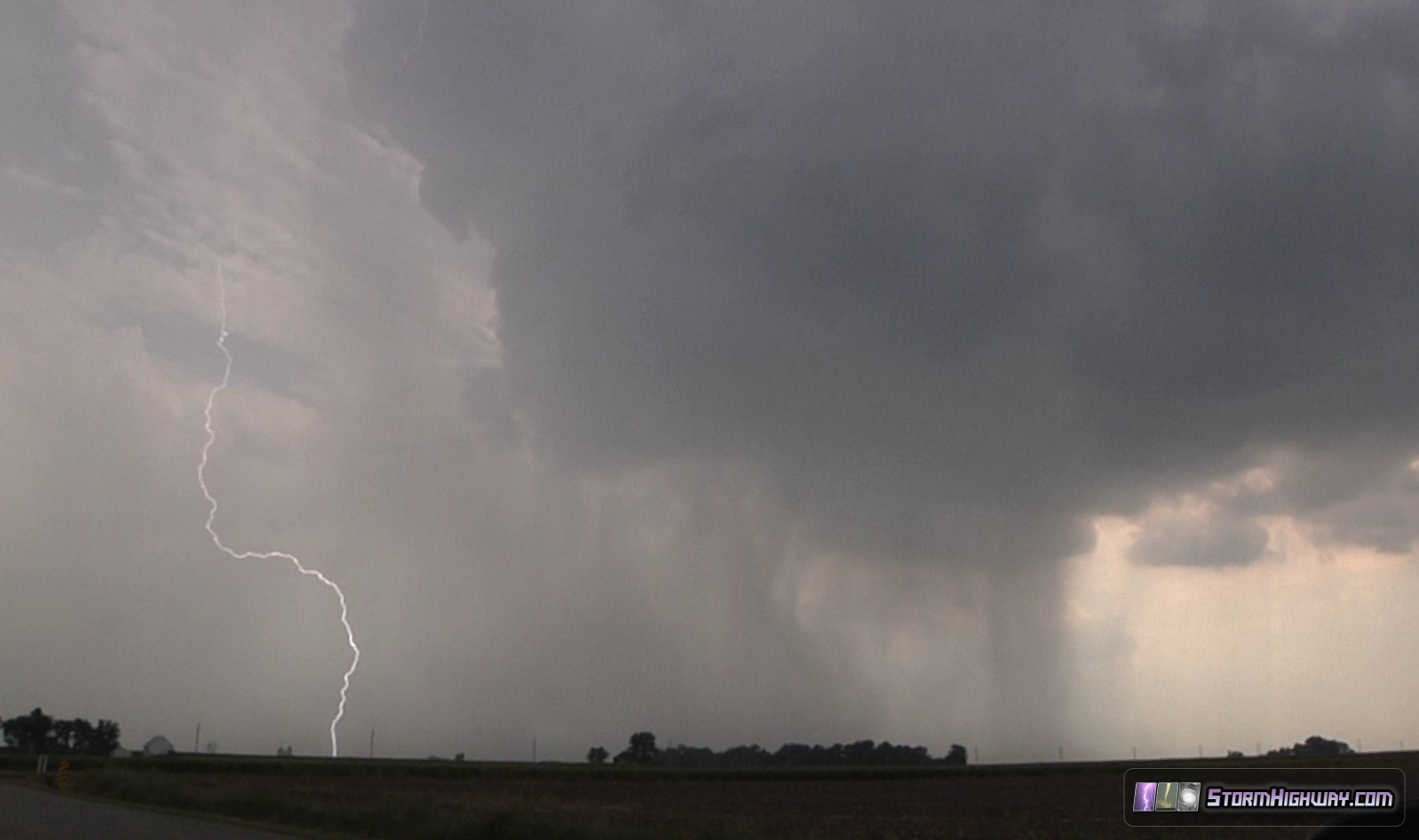
September 19:: This brief pop-up storm at New Baden, IL on Thursday afternoon only lasted 20 minutes:
In the original document, "A recommendation for an Enhanced Fujita Scale" submitted to the national weather service in June 2004 by the Wind science and engineering center, it states "The technology of portable Doppler radar should also be a part of the EF Scale process, either as a direct measurement, when available, or as a means of validating the wind speeds estimated by the experts." Am I missing something? Why was the El Reno tornado upgraded to EF-5 based on valid wind measurements by portable radar, then later downgraded?
- Posted by Mark Rader | | |
Hello Mark, I did a blog post about this subject here. The science community agrees that the radar rating should be allowed, but the NWS is bound by an outdated policy for now.
- Posted by Dan R. | | |
Thanks. That's a great post. I still wonder why it was upgraded to EF5 in the first place if they couldn't use radar data to rate. I heard the Rozel, KS tornado was rated EF4 based on radar data. Is this true?
- Posted by Mark Rader | | |
They found EF-4 damage with Rozel, but the radar confirmed the windspeed.
- Posted by Dan R. from New Baden, IL | | |
"Everything mostly falling apart by the time it got here". Basically sums up st. Louis weather, most of the time we either get what's left of Plains storms, or only initial storms for outbreaks farther east. I guess that's kind of a good thing after 2 close calls with tornadoes in the last 2 years.
- Posted by Tim | | |
|


