|
Home | Blog Index | Blog Archives | Christianity & Faith Essays | Storm Chasing Essays
California trip landscape photos - November 2017
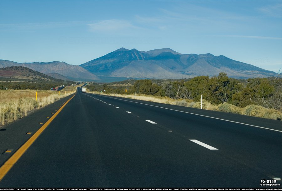
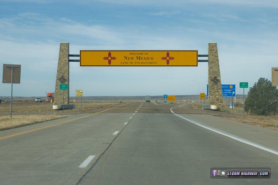
During the San Andreas Fault chase last month, didn't do any sightseeing other than of the fault itself. I passed within easy distances of landmarks like the Grand Canyon, Monument Valley, downtown Los Angeles, Joshua Tree National Park and New Mexico's Zuni-Bandera volcanic field, but in the end, I just did not have time to make the diversions to go see them. However, there was some interesting scenery encountered along the routes I took, so I thought I would devote a blog post to them.
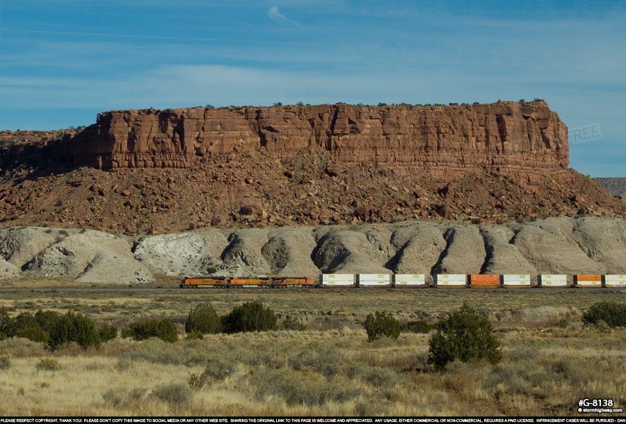
A BNSF double-stack train passes in front of a mesa on the southern end of the Tohajiilee reservation west of Albuquerque, New Mexico:
click to enlarge
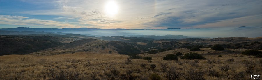
Albuquerque was one place I wish I had more time to explore on this trip. This is a panorama of the city and the Sandia mountains from the west of town:
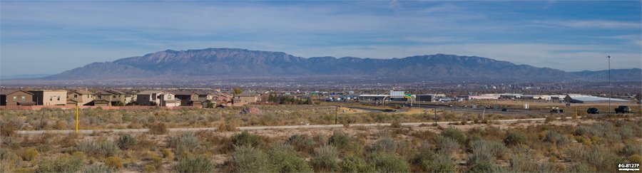
click for larger version
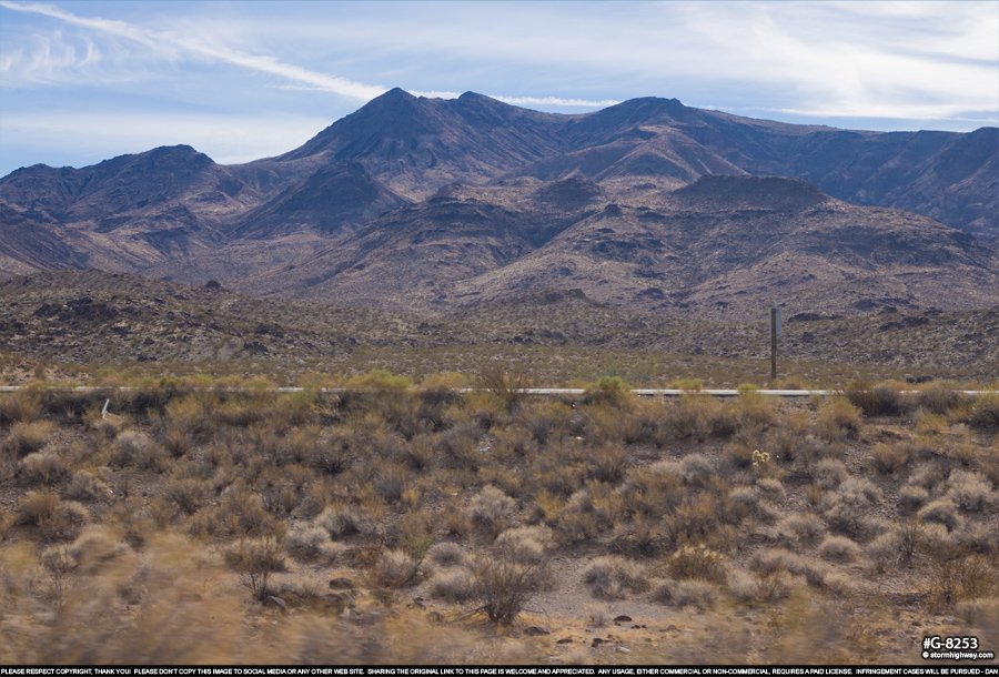
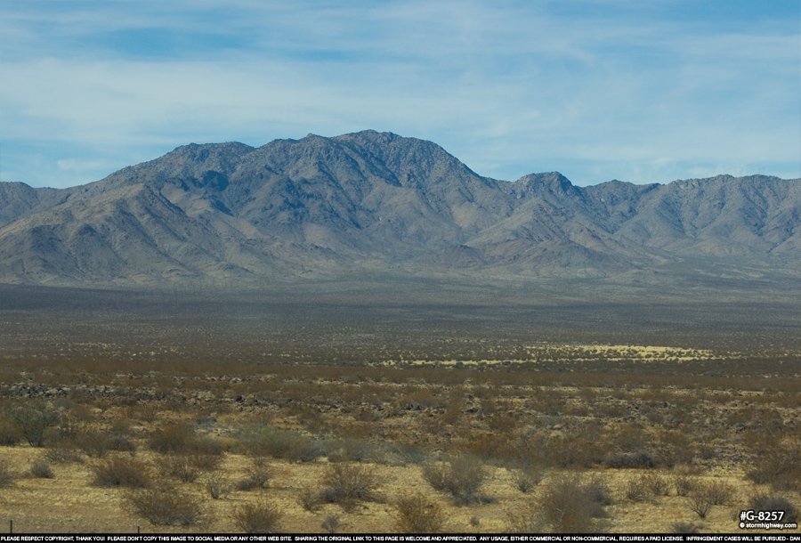
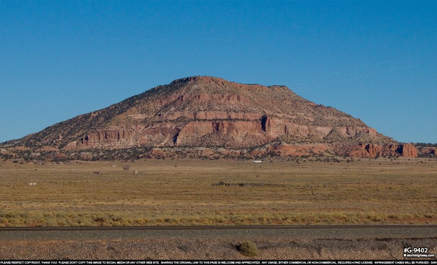
Mountains near Cubero, New Mexico, again along I-40:
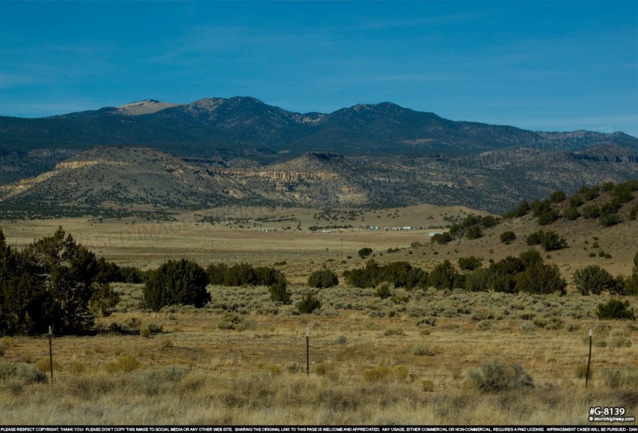
click to enlarge
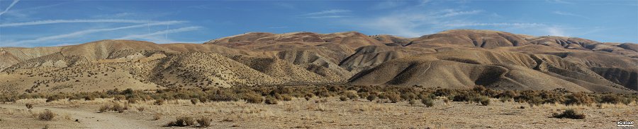
Panorama of Soda Lake in the Carrizo Plain National Monument, California, looking southwest from Wallace Creek on the San Andreas Fault: |