This post is a work in progress - new sections will be added as the month progresses and I get time to update it. The post will be "officially" published on June 1.
VIDEO:
Lightning in 6,000 FPS slow motion - Salina, Kansas
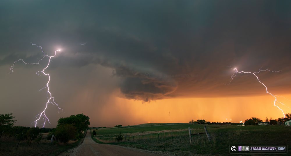
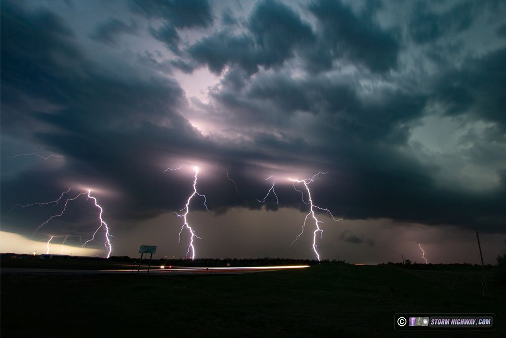
Lightning (not tornado) potential for May 8 was enough to get me on the road for a one-day Plains chase to central Kansas. I departed at 11PM Friday night the 7th, arriving in Salina at 7AM. After a nap, I slowly made my way west and south to LaCrosse as storms began firing. Two cells emerged initially, with the northern one ultimately taking over and drifting northeast. I initially was south of the storm, then chose to go north to I-70 to move ahead of it as it crossed the interstate. I accomplished this at Ellsworth. The storm was a prolific CG producer, and put on quite a show with lightning and sunset colors near Salina. I stayed ahead of the storm on the interstate all the way to Topeka, making several stops for high speed lightning shots. Nearly every DSLR exposure caught lightning.
The storms eventually congealed into a large squall line, so I spent several hours in Topeka trying for upward lightning off of one of the TV towers west of town. Intracloud and cloud to ground lightning was nearly continuous from the main cores to the south and the stratiform region overhead, but no upward flashes occurred to the towers. I did get some nice audio recording of the thunder here. Radar showed that a much larger stratiform precip area was heading for Kansas City, so I decided to head east to set up at the towers east of downtown KC. When I arrived, however, a solid deck of low clouds had moved in behind the cold front, enshrouding the upper two thirds of the towers in the clouds and completely blocking the view of any upward lightning. I ended up calling the chase at this time, heading east to Booneville to stop for the night. I made it home Sunday afternoon.
The following video includes all of the DSLR stills from this chase, along with several bolts captured on the high speed camera (which I had set to record at 6,000 frames per second).