|
Home | Blog Index | Blog Archives | Christianity & Faith Essays | Storm Chasing Essays
Storm season forecast update 3 - could winter be done?
After this week's big system brings a temporary surge of cold air into the northern US (and a couple of frosts to the middle latitudes), all of the available long-range models and ensembles show what looks like a permanent retreat of major cold air into Canada afterward. And along with it, temperatures in the central USA are shown surging. It certainly has the "look" of winter's demise. Of course with the weather, you can never be sure of anything beyond two weeks out - but it's definitely encouraging to see such a strong multi-model agreement of persistent warmer weather.
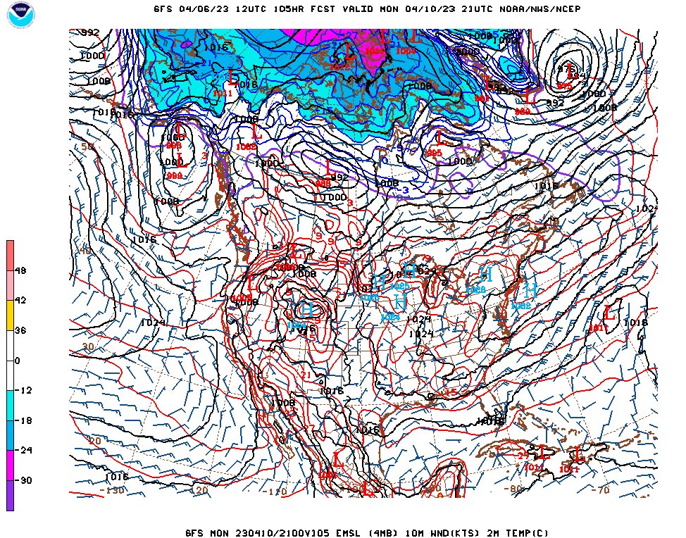
GFS surface temperature forecast for April 10
And while it may not seem like a sign of warmer weather, the National Weather Service is issuing frost advisories in areas of the Midwest for the current cool spell. That's something they only do once the growing season has deemed to have started, a determination that is based on the long-term expectations for the lack of significant cold.
On the flip side, such a retreat of cold air north also means that the upper jet may be much weaker across the middle part of the country (and at times non-existent). And the models seem to be showing just that. What that means is we could see more of a summer-like pattern over the next couple of weeks, with much below-average severe thunderstorm and tornado activity despite the warmup.
Such lulls in severe weather are common in the Midwest and Plains, and it's likely the jet will return before the Plains/Midwest tornado season starts winding down in mid-June. Those later systems will increasingly have less of a chance of bringing significant cold and winter weather with them (outside of the higher elevation regions) as the season goes on. So, hopefully what we're looking at now is the last big chance for winter to make a major comeback in the Midwest. As the jet and cold air retreats for an extended time afterward, it will give the ever-increasing sun angle time to entrench spring's warmth before the next parade of upper troughs arrives.
Whether you're a storm aficionado or not, it's a good thing to see these signs of winter's possible final departure.
Recent storm chasing logs
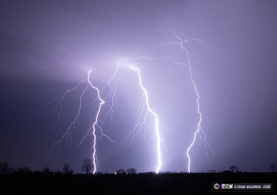
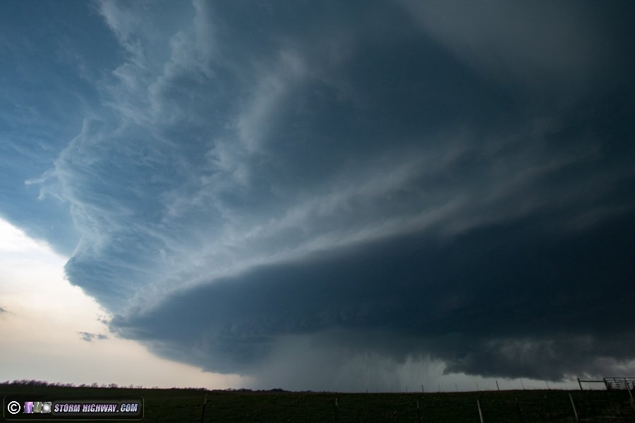
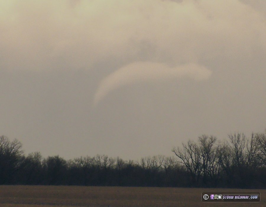
The past 10 days have been very active for storms in the Midwest! I've updated the running blog post with March-April storm chasing summaries with these recent events and photos, including the first tornado catch of the season on April 4.
GO: Home | Storm Chase Logs | Photography | Extreme Weather Library | Stock Footage | Blog
Featured Weather Library Article:
|


