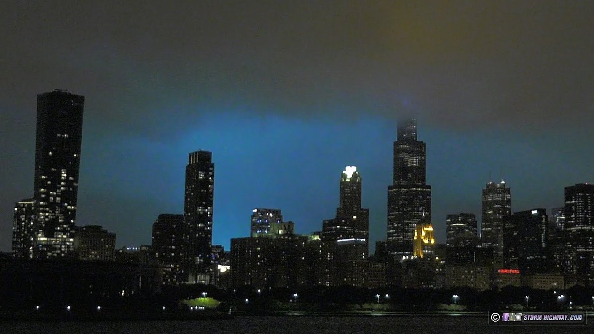
Day 2 of the Chicago chase trip was expected to be the "main event" of the sequence with a strong squall line/derecho with embedded mesovortex tornadoes. I had already traveled to Chicago on Sunday afternoon for the first round of storms. At midday Monday, an outflow boundary/stationary front was located northwest to southeast from near Rochelle through southern Chicagoland. I began the day in Morris, IL positioning for possible lead supercells initiating on this boundary ahead of the main squall line. By late afternoon, this activity was beginning to take shape on the lakeshore, so I moved back into downtown Chicago to watch this activity pass over the lake while awaiting the main line's arrival from the west. The lead storms organized eough that they produced cold outflow which surged southward toward the city. This arrived over downtown just before the squall line did. At my location near Adler Planetarium, cold northerly winds associated with the lead storms' outflow arrived about 20 minutes before the main line to the west did. Tornado sirens began blaring across the city. Soon, the gust front of the main squall line appeared and began passing over the skyline. As this approached, winds at my location suddenly shifted from cold northerly to strong warm southerly. The circulation passed just to my north. Power flashes appeared behind the Sears Tower as the EF1 tornado entered the Loop and dissipated:
Still image of the above:
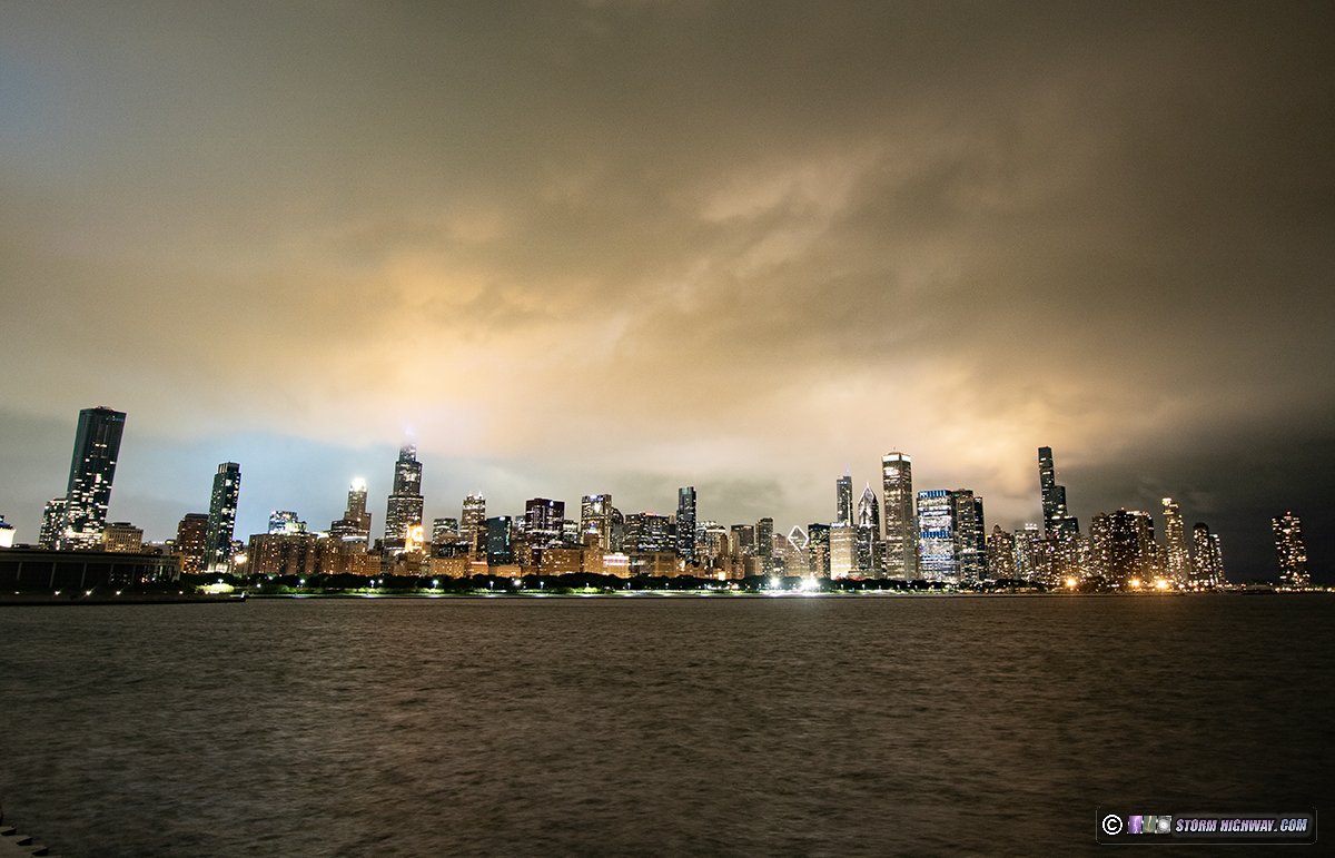 This video is a timelapse from the DSLR stills captured on the 14th and 15th:
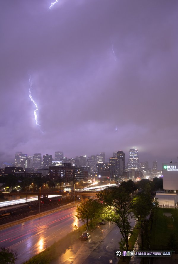
I moved back west to my upward lightning filming location as the cores of the storms passed overhead, passing by large tree limbs down and a whole tree toppled along Roosevelt near I-90.
The upward lightning event of this storm was of considerably less quality than the night before, thanks to thick low stratus obscuring the tops of the buildings for most of the trailing stratiform region. Several upward flashes happened while the buildings were blocked by clouds.
 I began the trip home shortly after midnight.
GO: Home | Storm Chase Logs | Photography | Extreme Weather Library | Stock Footage | Blog
Featured Weather Library Article:
|
||||||||||||||||||||||
Web Site Design and Internet Marketing by CIS Internet


 Downtown Chicago EF1 tornado - July 15, 2024