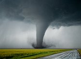
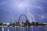
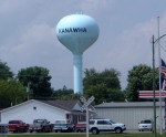
FORT DODGE, IA - Supercells developed in northwestern Iowa on Friday, June 11, producing numerous tornadoes. The following is a journal of the day's chase. Times (CDT) are approximate. Photos can be enlarged by clicking on each thumbnail image. The day started near Kearney, Nebraska where I had spent the night after the previous day's chase in western Nebraska. The drive to the Iowa target would be a long one, and so I was heading west on I-80 by early morning. The risk for tornadoes was pronounced across northern Iowa, where a meandering warm front was quickly racing toward the Minnesota border. My target was the area in and west of Mason City, as there were two possible areas for supercell development on either side of I-35 in northern Iowa. I arrived in Des Moines at around 1PM and stopped for data, in time to see the new MCD out for northwest Iowa as well as a few new cells that were already exploding near Storm Lake. I later found out that this cell was a tornado machine, producing several long-lived photogenic tornadoes. I eventually decided to jump on this storm as tornado reports were already beginning to come in. Watching the area behind me east of I-35 with apprehension, I plotted an intercept course for the Storm Lake cell complex, looking less supercellular but still tornado warned at 3PM. Passed through the town of Kanawha, which was interesting to see as I live in Kanawha County, West Virginia (on the Kanawha River) and had never seen another location with that name:
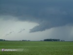
 The warm front was trying to fire east of I-35, but to my relief the cells quickly died. I was already comitted to the western storms anyway. I finally made it to my target storm just west of Bancroft, Iowa and could make out an apparent rain-free base just ahead. A lowering appeared about a mile to my north, but I could not confirm rotation due to poor contrast. In the meantime, the storm began to morph into a linear structure with new development continuously taking shape on its south end. The rest of the day consisted of basically staying with tail-end Charlie, dropping south with each new cell that popped up at the end of the line. However, most of the tail-end cells quickly became absorbed into the growing line before they could organize. At one point, some interesting scud formations took shape:
 I began to get frustrated at the failure of the numerous tail-end cells to remain discrete, and I began to resign myself to the likelihood that tornadoes would elude me today. I kept staying with the south end of the line, however, as I needed to drift south anyway to get closer to tomorrow's target in Kansas. I encountered a large chaser convergence near Algona, including the DOWs and the Bushrag IMAX truck. I stopped south of Algona to film the advancing line, but a ruthless attack of mosquitoes eventually forced me to move on. Just north of Fort Dodge, a massive, cavernous shelf cloud took shape and swept over the road:
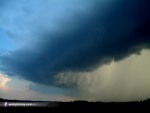 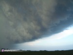 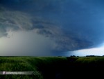 At the time I was happy to at least get to see some spectacular structure like this. At this time I noticed a new tail-end cell developing to the southwest with a discernable base. However, a visible precip shaft was filling in to the south of the new storm, and I assumed it would quickly merge with the line as all of the previous cells did. Looking to the northeast, a nice display of mammatus reached out ahead of the storms:
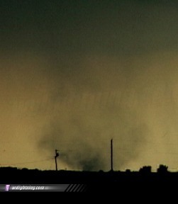
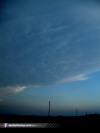 I stopped south of Duncombe (just east of Fort Dodge) to film some of the lightning flickering up in the anvil of the storm directly overhead. The lightning had that 'look' to it, characteristic of a tornadic storm that I'd seen already several times this season with supercells that were producing or eventually did produce tornadoes. I let the TRV900 record the anvil lightning while I set the VX2100 up at the base of the storm about 6 miles to the west-southwest. Soon, a dust cloud appeared on the ground under the base. Zooming in and looking in the viewfinder, rotation was clear. Tornado on the ground! ( RealVideo clip, 3.2MB )
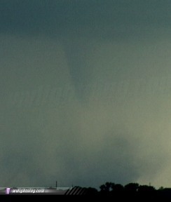
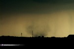 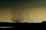 A funnel appeared above the dust whirl after about a minute:
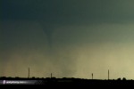 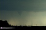
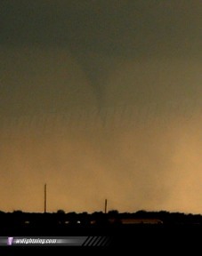
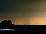 I was so far away from the tornado that contrast was very poor. I decided to try to get closer and plotted a course about two miles south and three miles west on gravel roads south of Route 20. While I drove, the tornado strengthened, so I stopped and filmed for about 30 seconds before moving on:
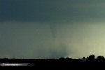 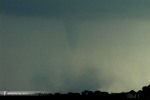 The tornado then disappeared behind rain curtains as my route south ended at a closed bridge. I was forced to move back east and then south, encountering many storm chasers along the way. New tornado warnings were coming out for the storm, but visually it appeared like it was again merging with the main line. The sun was now setting behind the storms, casting a beautiful orange hue to the rain curtains - and outlining what appeared to be a huge wall cloud just to my west near the town of Stratford. I watched this feature for several minutes before it disappeared in the rain. Despite some low-contrast suspicious lowerings to the east as the line passed over, radar wasn't showing much in the way of an organized tornado threat. I decided to call it a day and head back south, stopping in the town of Boone for fuel and to film a passing train with frequent lightning in the background:
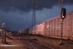 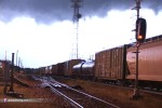 It was now time for the long drive back to Kansas for the next day's chase. As I drove south on I-35 into the night, I eventually caught up to the back-side anvil region of a dying storm complex in northern Missouri. Precip was light - and huge, spectacular anvil crawler/CG lightning discharges were occuring every 5 minutes or so. Despite the long storm chase day and the prospect of another big day Saturday, I stopped for a couple of hours to film the amazing lightning show near Eagleville, Missouri ( RealVideo clip, 2MB ):
  Another tornado and a great lightning display made the chase worth the long drive. It was time to get some needed rest, as the next day also held promise for some great storms in Kansas.
GO: Home | Storm Chase Logs | Photography | Extreme Weather Library | Stock Footage | Blog
Featured Weather Library Article:
|
|||||||||||||||||||||
Web Site Design and Internet Marketing by CIS Internet


